7/10/17: Gold Creek Mile 1455.6 to Mile 1425.3 Tentsite

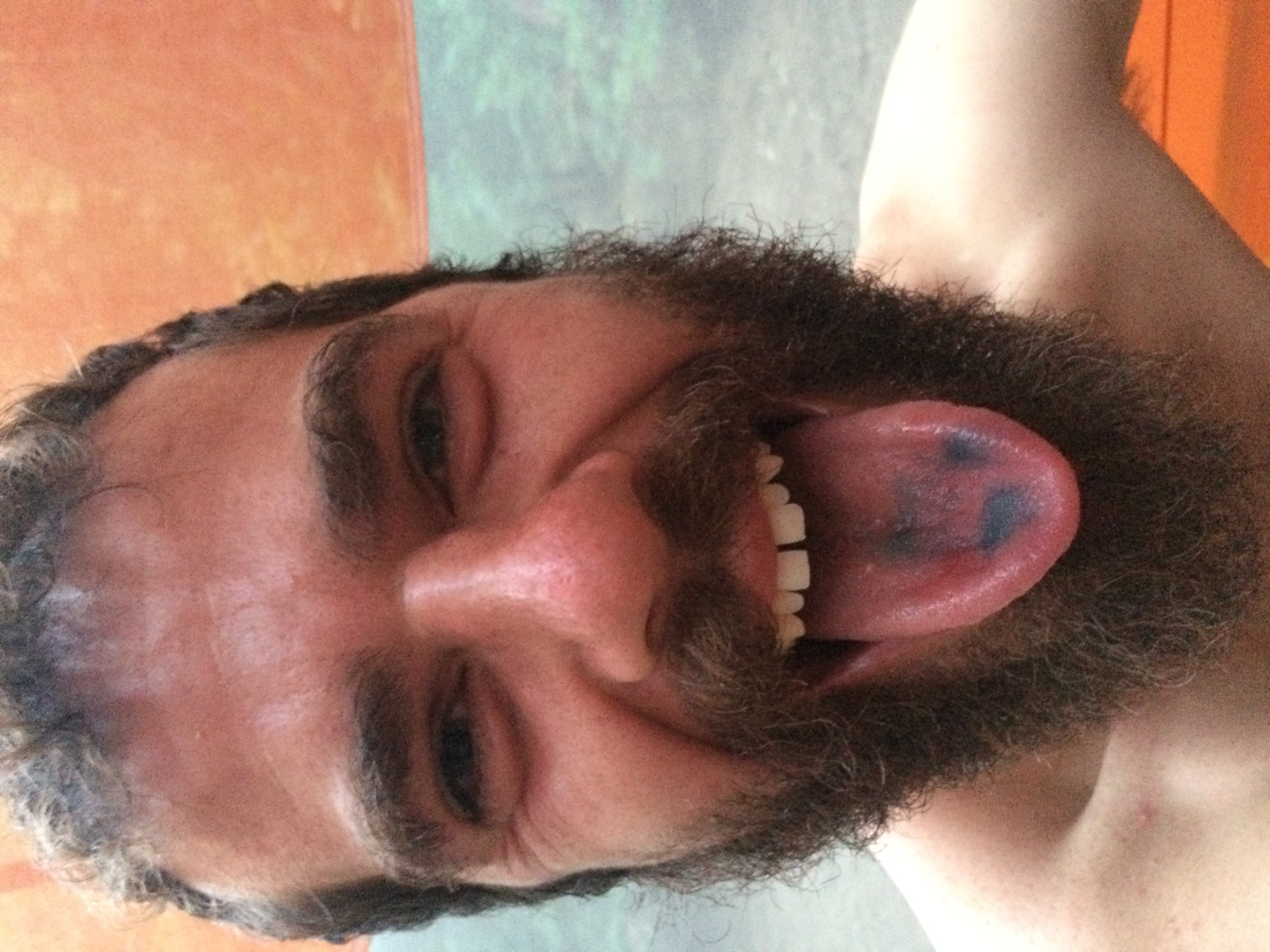
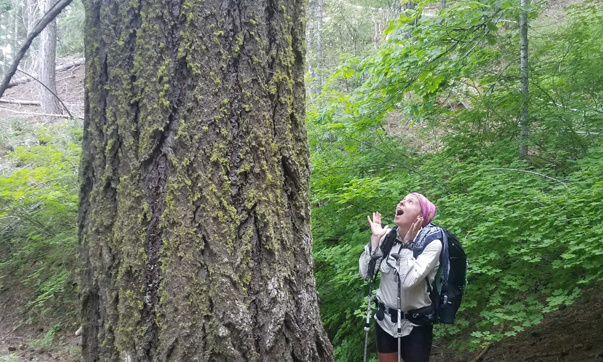
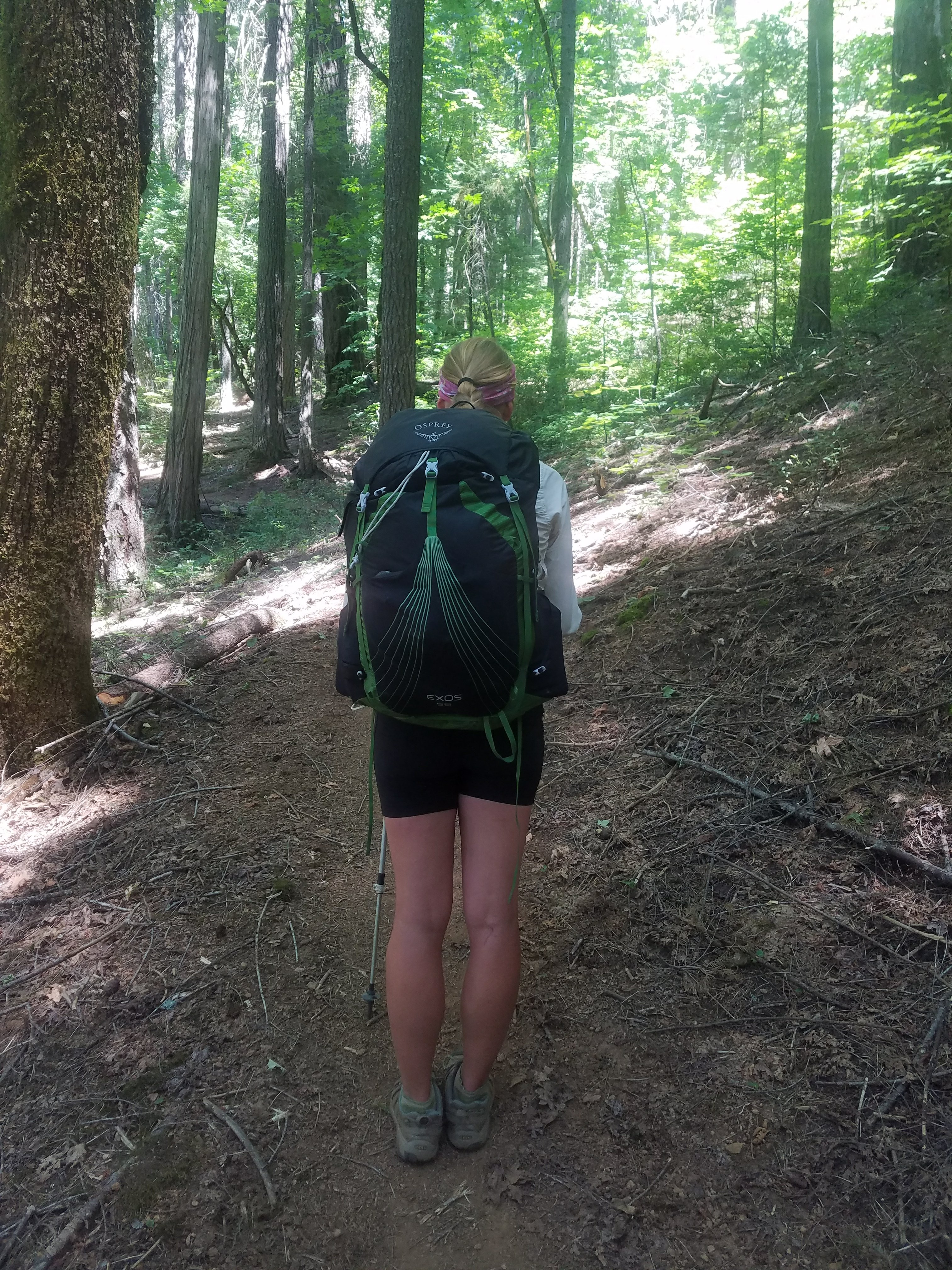
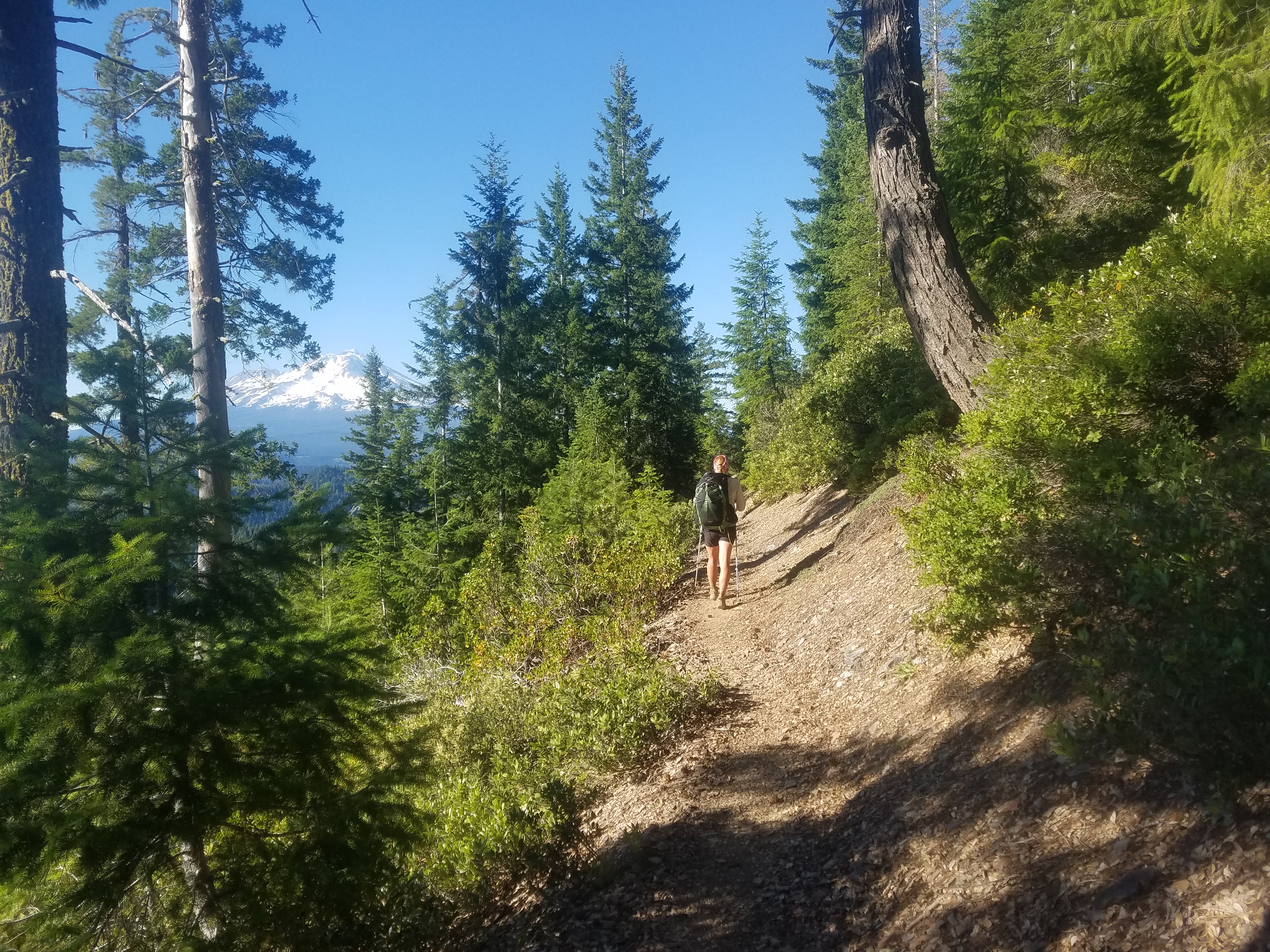
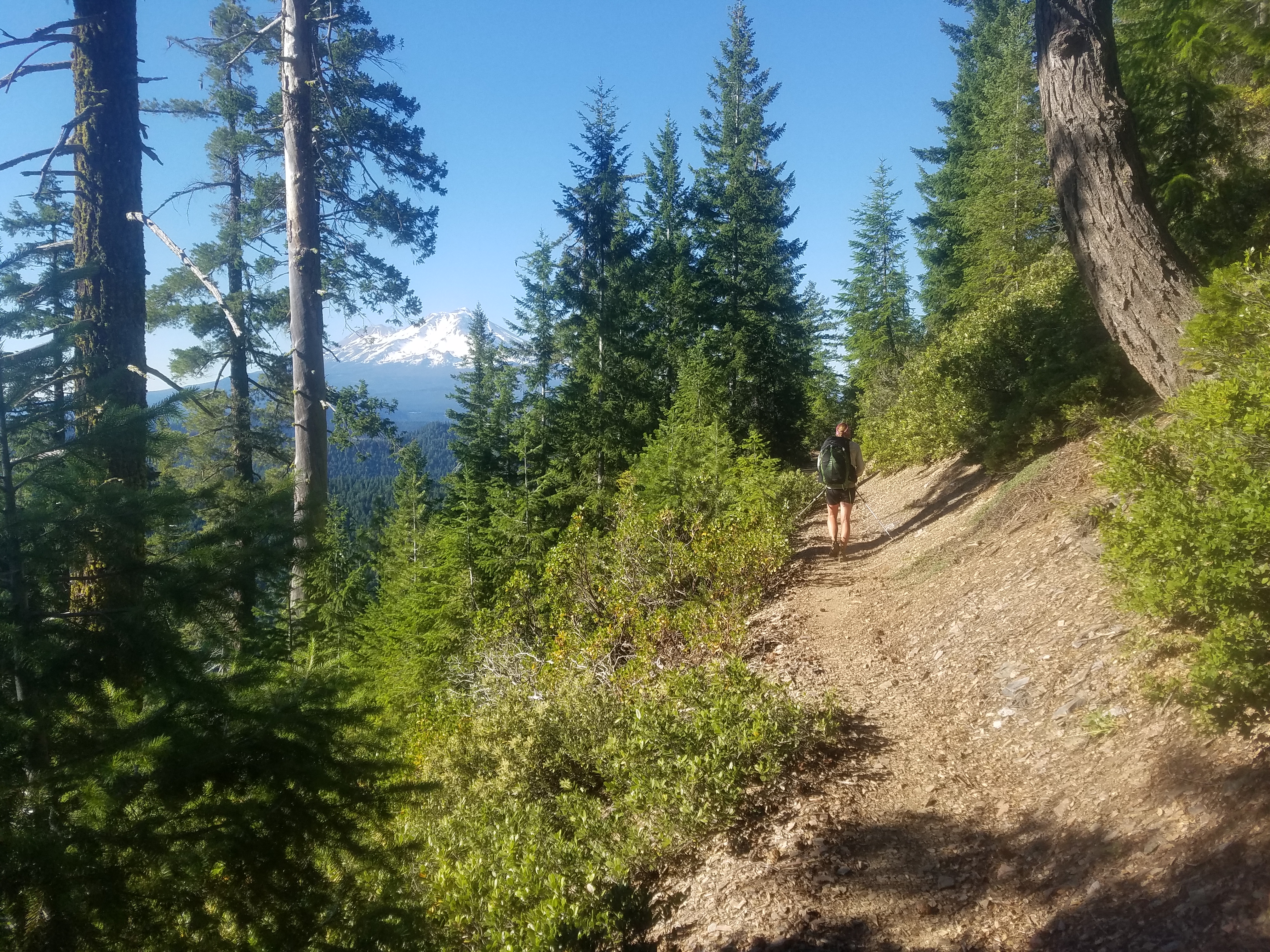
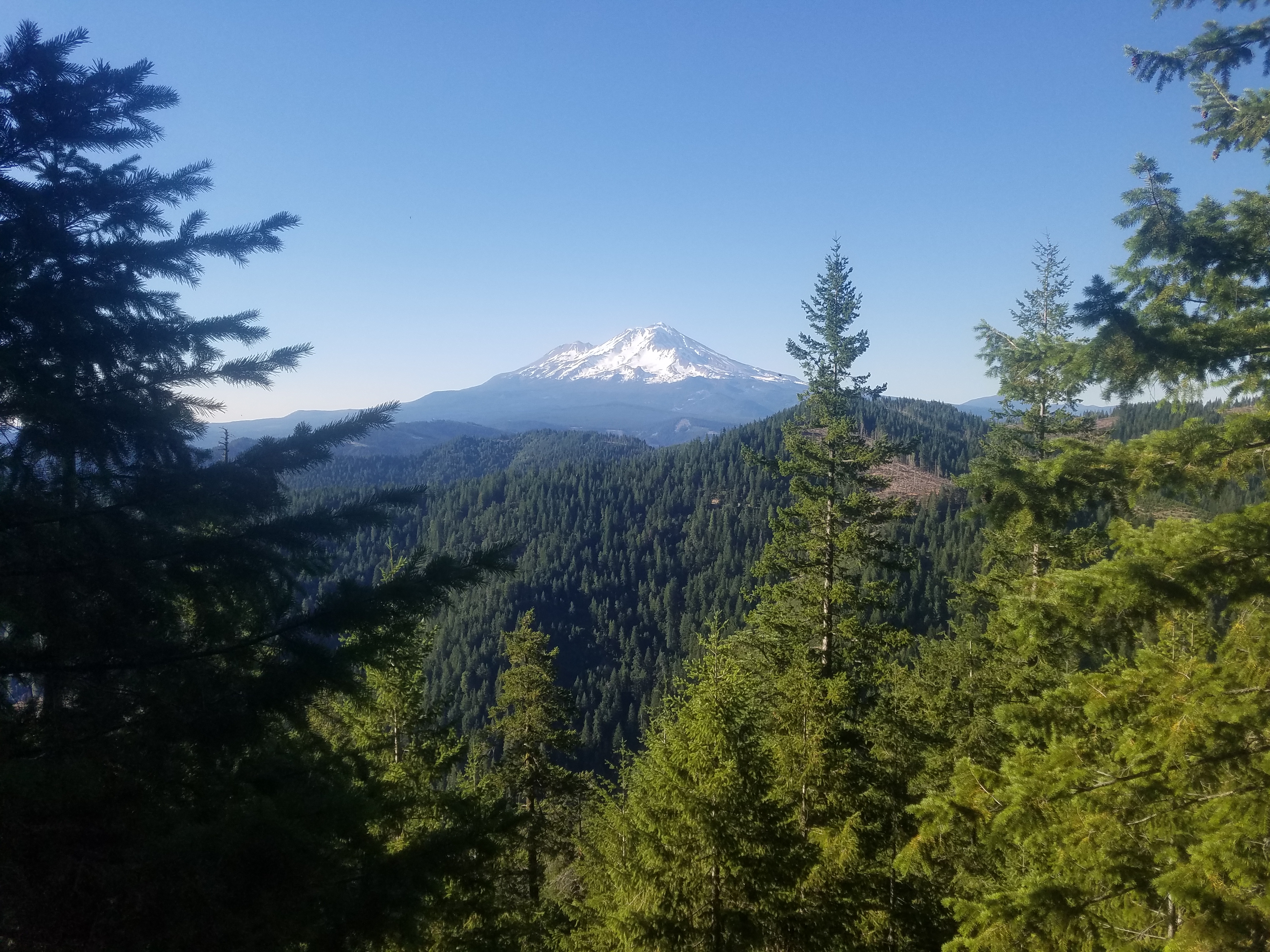
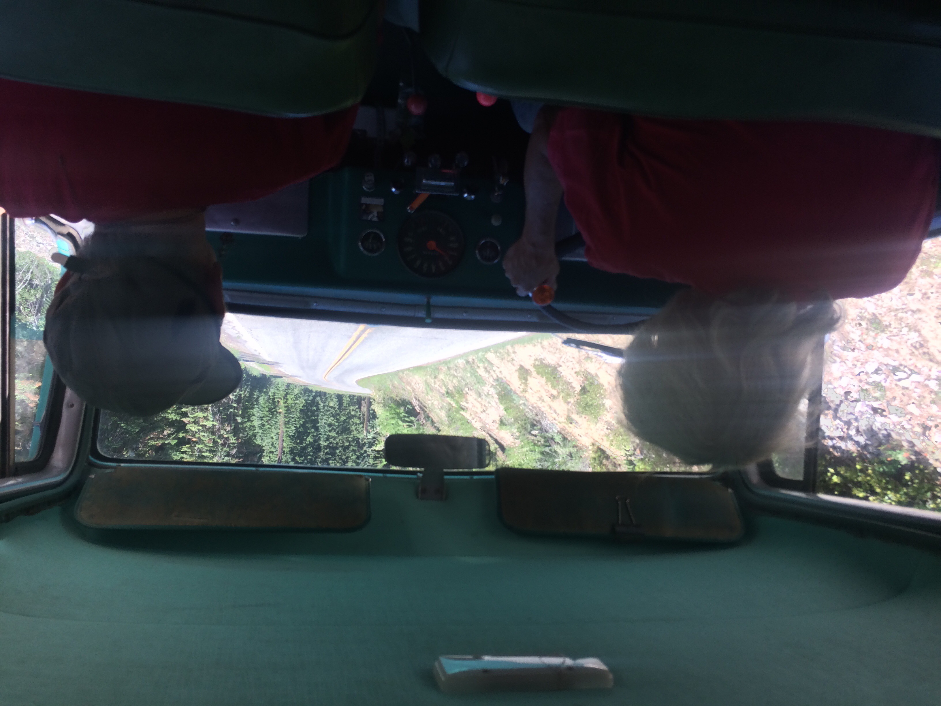
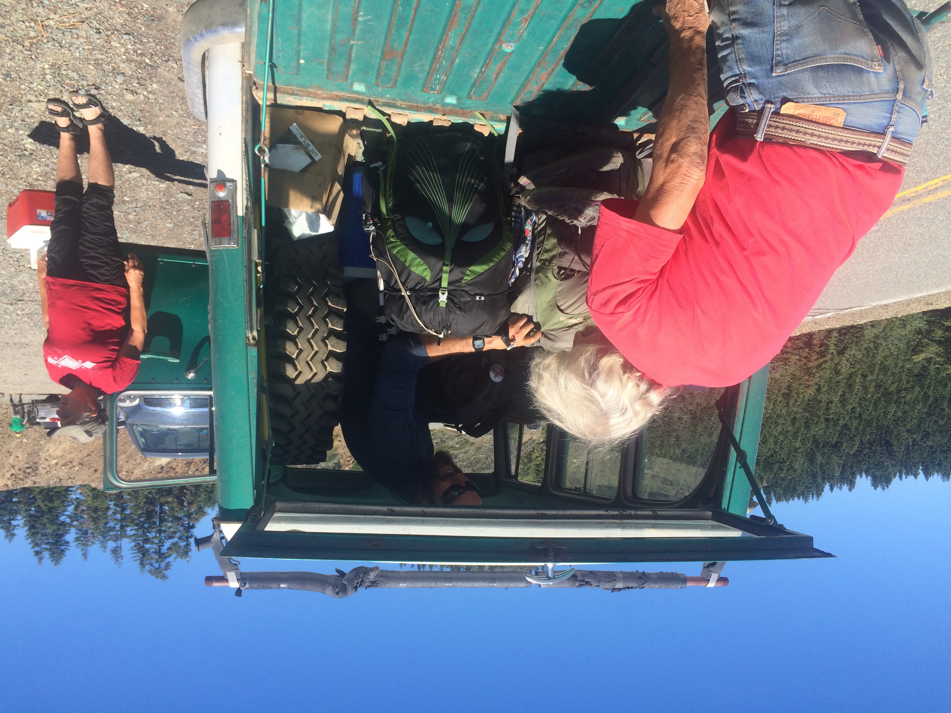
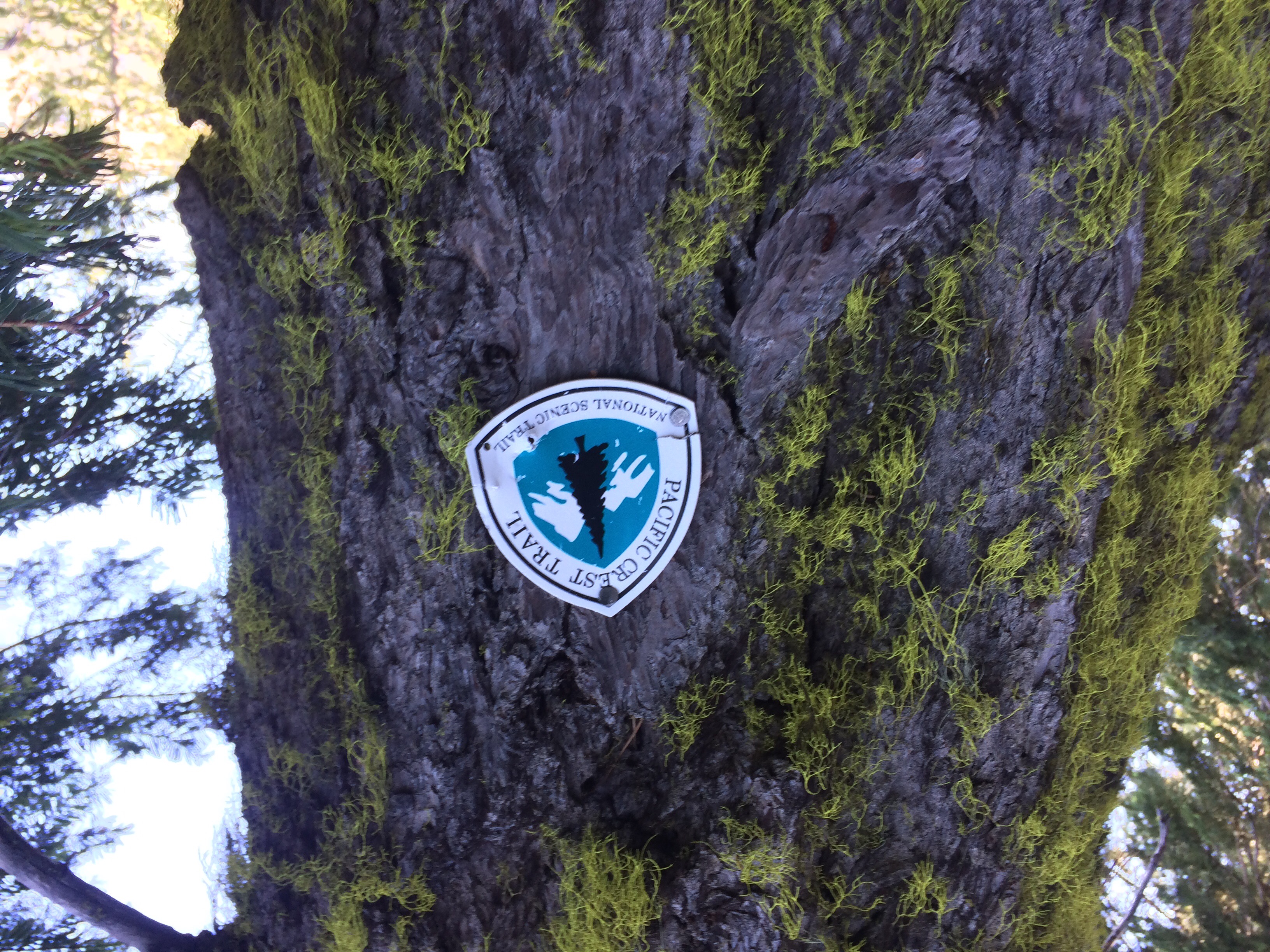
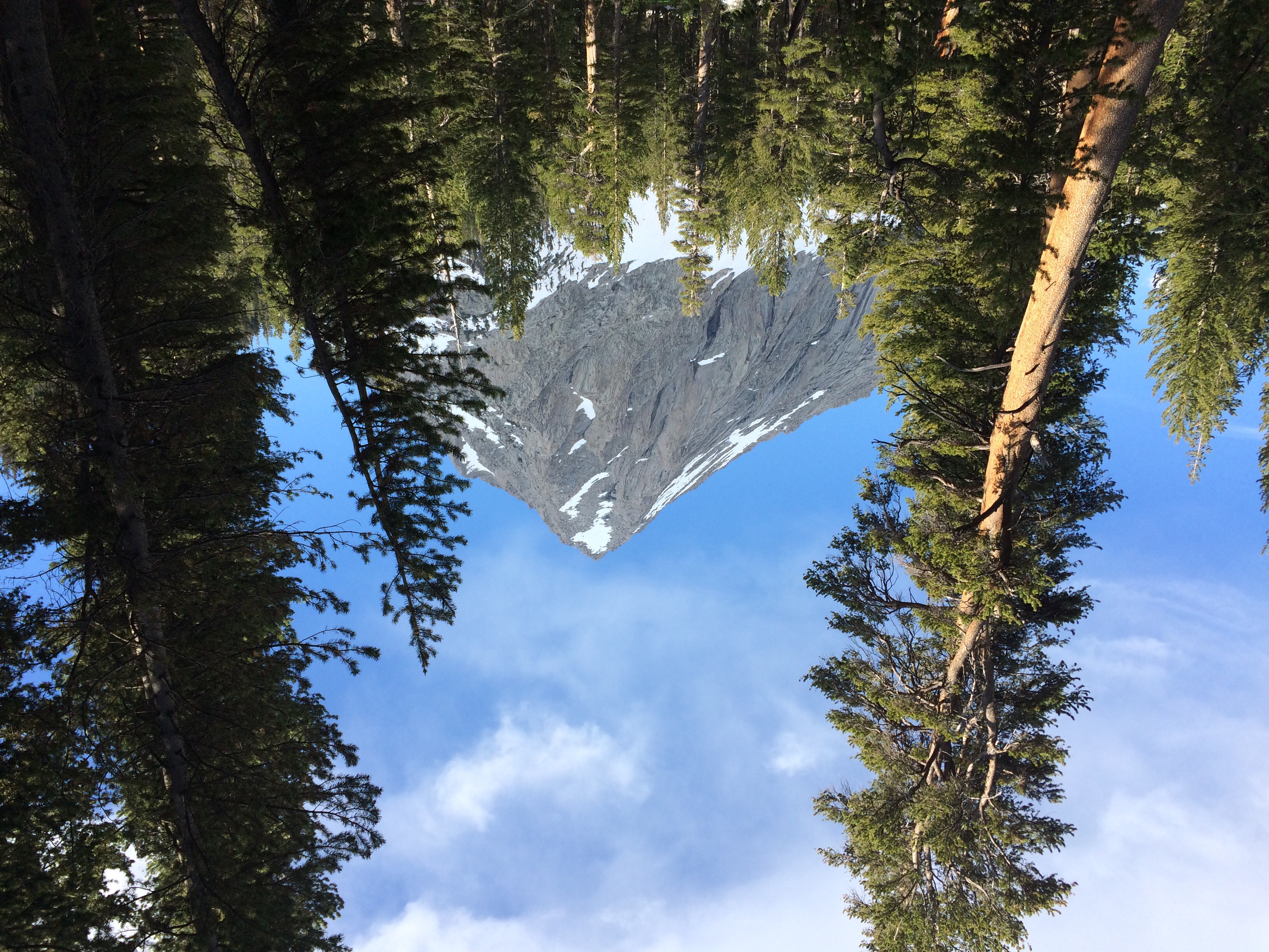
Today was a milestone for us. We walked our first 30+ mile day! This isn’t extraordinary for the PCT–most hikers end up hiking many 30+ mile days throughout their thru hike. We’ve done a lot of high 20 mile days but hadn’t crossed that 30 mile mark yet, so it felt like an accomplishment to have done so! We didn’t set out to walk so far initially. 

We got a late-ish start a little before 8AM. It was already hot and humid when we started hiking. We had a fairly easy first 10 miles or so to our first water. There we ran into two other SOBO hikers, a couple from Texas named Rambo Juice and Stretch. We’d actually talked to them in Etna but couldn’t place where we’d seen them before for a while. We then walked another 7.5 miles to a spring where we had lunch. I counted how many northbounders we passed today and by the end of the day I’d counted 50 of them!! We passed a bunch of people we knew today which was a fun and unexpected surprise! It was like having many mini reunions. All of these people skipped the Sierra and are heading north to the Canadian border (for example, they may have gotten off trail around mile 800 in the Sierra and skipped to mile 1200 where there is less snow and are heading north). We saw Gourmet, Godongo, Broken Spoon, Justin/Jupiter, Frenchie, Stacks, and Curry today! It was nice to break up the day and chat with everyone as we passed them. It was funny, at lunch we had to walk 0.2 miles down a dirt road to get water at the spring and came across Frenchie, Stacks, and Curry all taking a nap. They half woke up and were so confused and shocked to see us as they didn’t know we’d flipped!


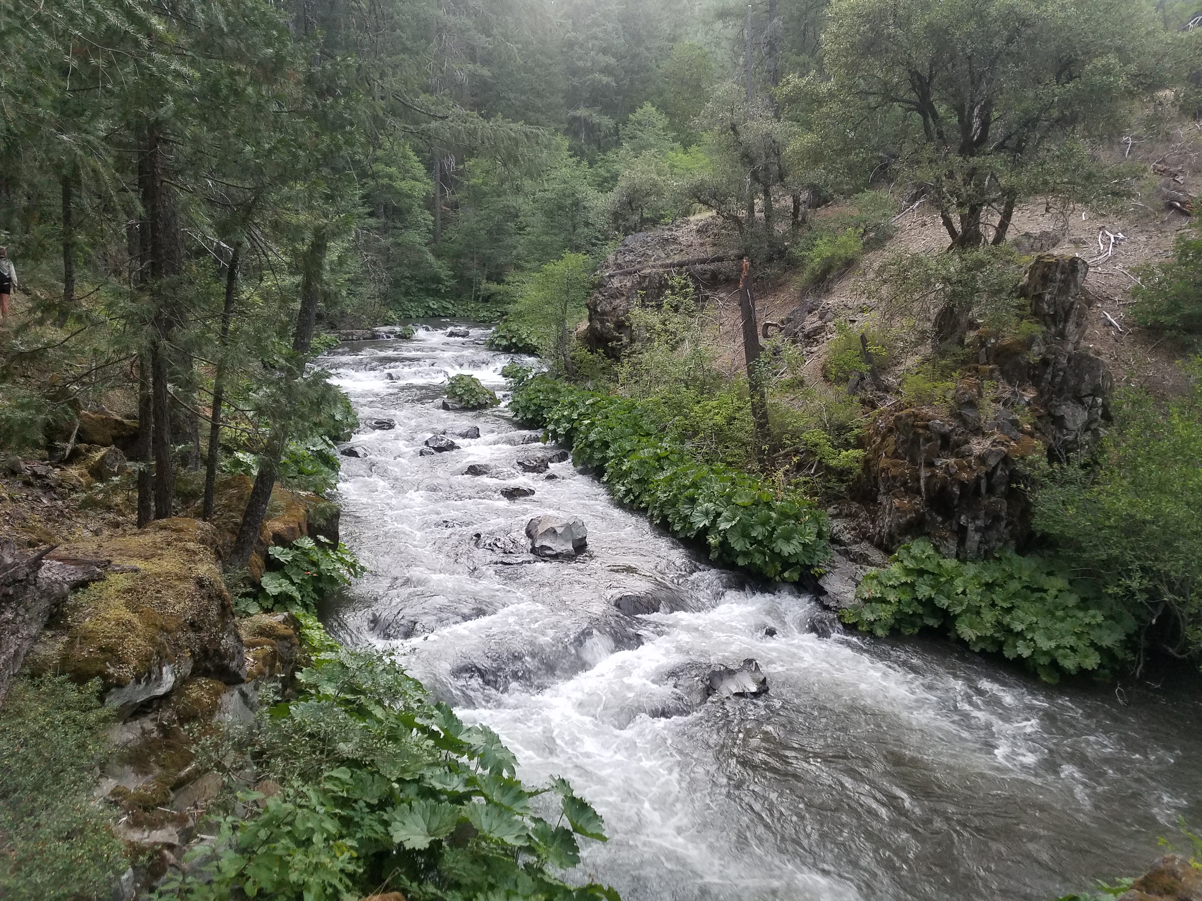
I was feeling pretty tired and a bit unmotivated at lunch and it was tough to get up and start walking again. But alas that is what we did. Wolf Bird was listening to podcasts for most of today but for some reason I didn’t feel like putting in music or podcasts and just sucked it up and walked. We had a nice downhill section to a creek where we filled up on water and discussed where we wanted to camp for the night. We decided to aim for a creek about 4 miles ahead as our app said there were some campsites nearby. 


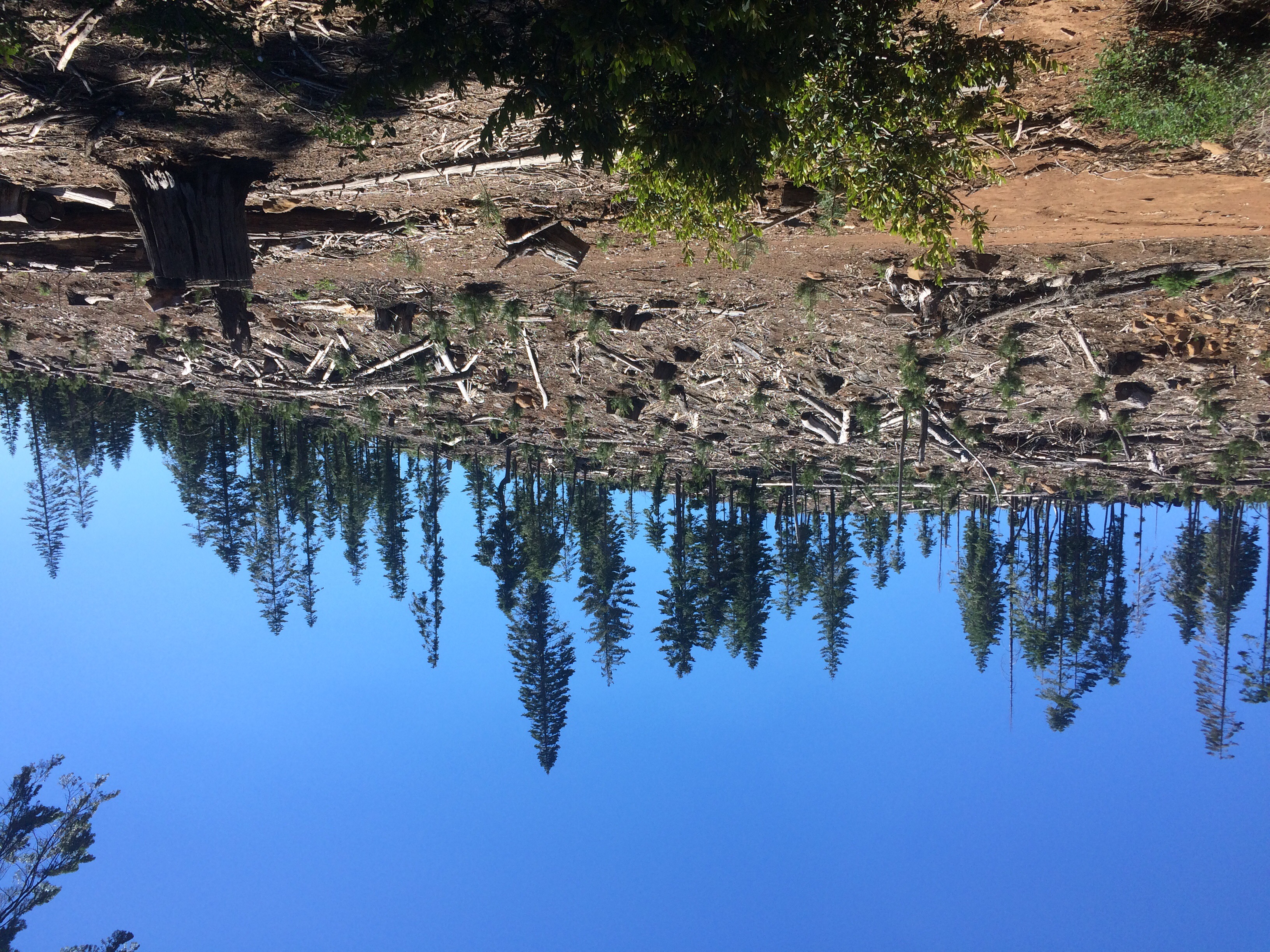
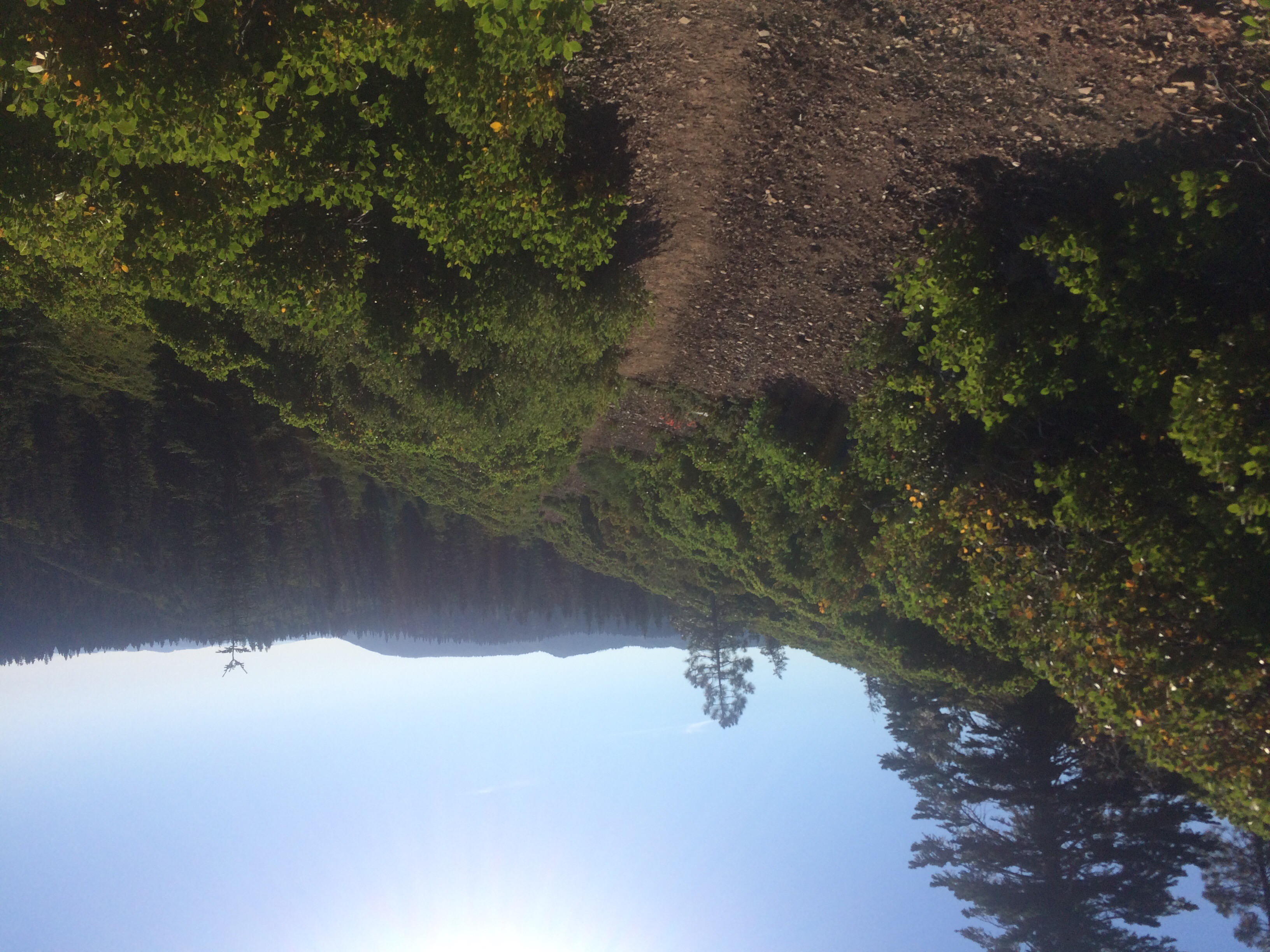
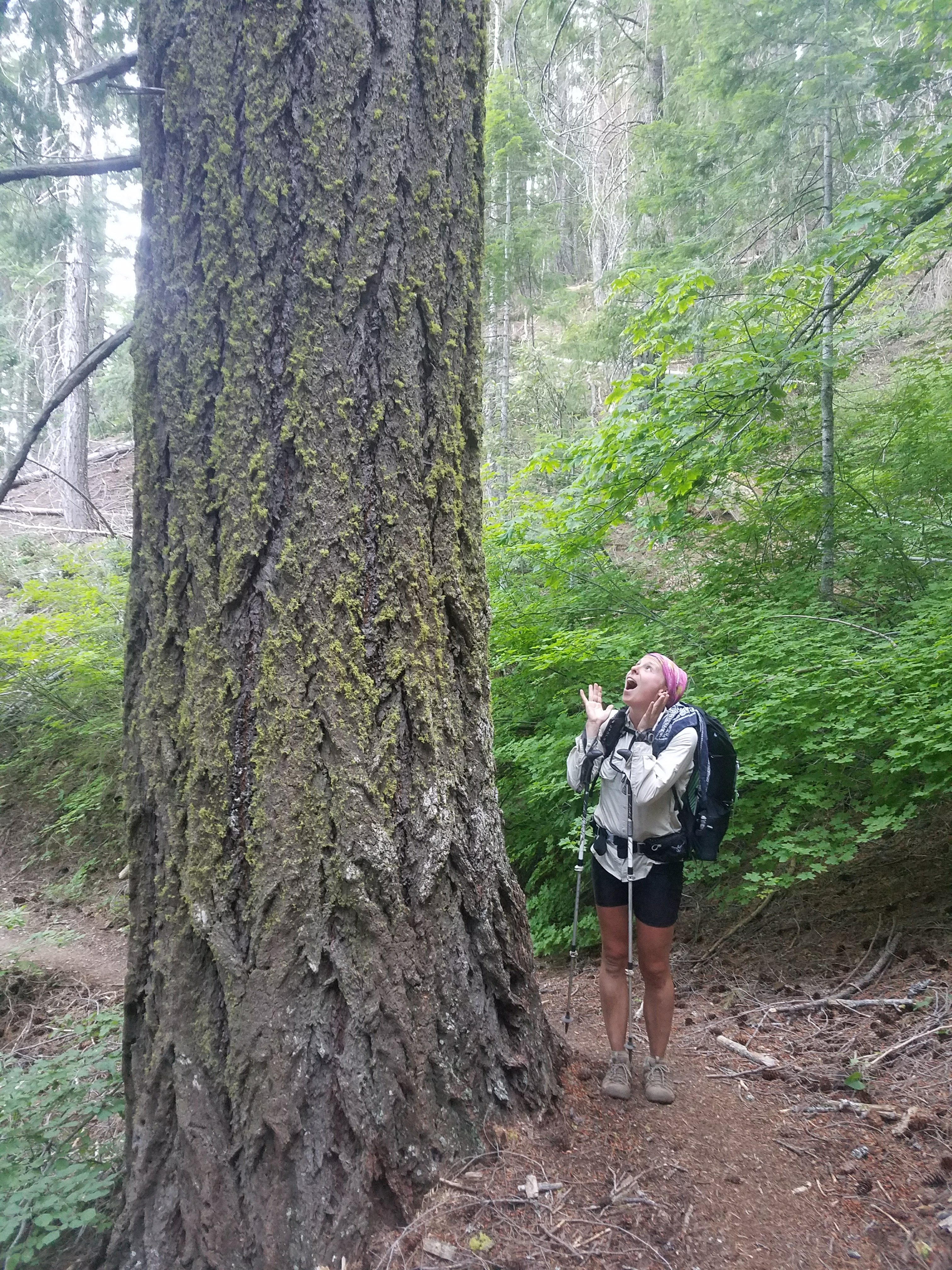
The trail was logged and devasted-looking in some places yet extremely overgrown in other places today. There were tons of bushes and ferns grown so big that they completely blocked the trail and we just had to trudge through them and let the bushes whip us in the face and legs. It was exhausting and started to get to me, but in these last four miles there was some nice non overgrown trail. I also listened to music which really upped my motivation for this last part of the day. 


We got to the creek junction and had to walk a steep 0.1 miles down to get water. It was very buggy by the creek, I almost lost my water bottle cap, Wolf Bird and I started arguing, and to top it off we didn’t see any tentsites anywhere! Ugh. We decided to suck it up and walk another mile to a listed Tentsite. It is not fun to have to keep walking when you think you’re done for the day, but luckily it was all downhill. 


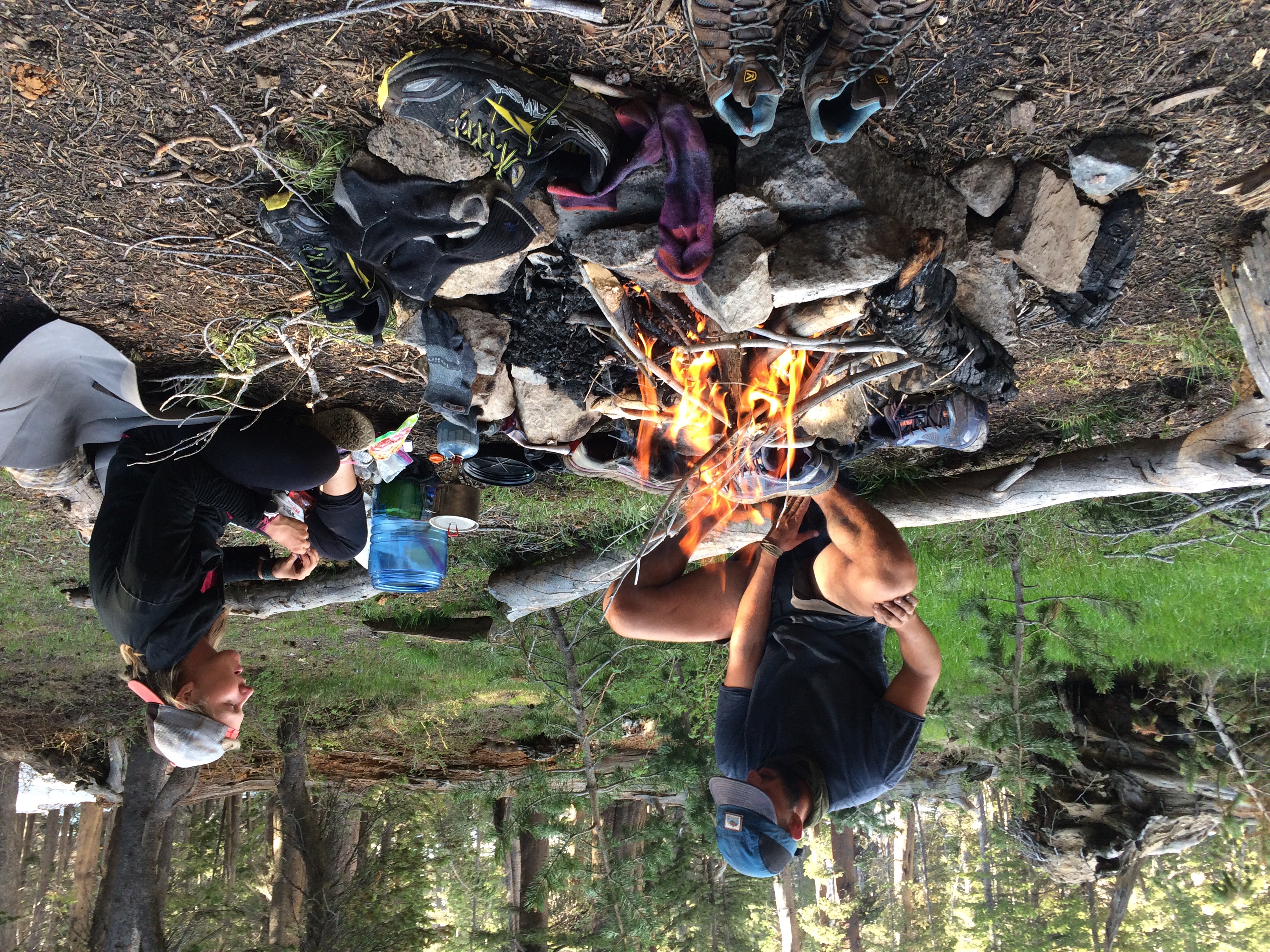
We got to the Tentsite super quickly and on the way realized we surpassed 30 miles for the day which helped our morale. It was a nice flat Tentsite but extremely buggy. Wolf Bird went to the woods to go to the bathroom while I cooked my dinner and speedily set up the tent so I could eat dinner in it to avoid the mosquitoes. 
When we were settling down for bed we heard a rustling beside our tent on Wolf Birds side by his pack. We always sleep with our packs with our food in them right beside our tent. A very bold mouse was scurrying around trying to steal food from Wolf Bird’s bag! He moved his pack to scare it but it kept coming back and wasn’t really scared! Wolf Bird then hung our packs in a nearby tree to hopefully prevent mice from getting into it. We went to bed excited to get to Burney tomorrow!

7/8/17: Mt Shasta to Squaw Valley Creek Mile 1482.1

I didn’t sleep very well last night so I slept in very late for me on this trail until 8:30. Wolf Bird of course had gotten up at 6 something and gone to a coffee shop. I went and joined him for a bit and then we eventually returned to our hotel to shower and pack up before check out. We were feeling a little paranoid at having to clean the room before leaving due to the crazy owners. We had to go grab the owner to have him examine our room for cleanliness in order to get our cash deposit back. It was such a weird policy and after he checked our room and gave us our money he felt the need to justify his actions and basically started another argument with us. This was the worst hotel I’ve ever stayed at and in reading the reviews after the fact I found out I am not alone in thinking as much. 

After that Wolf Bird and I went to do laundry while Yote and 2.Toe worked on their town chores. The laundry machines were making a noise in a repetitive beat and Wolf Bird rapped for me with them. We then stopped by the outfitter and grabbed some Burger King before hitting the road. wolf Bird is doing a Burger King resupply where he is packing out three burgers to eat for dinner in this section. Interesting choice I must say. 
We texted Tony, the trail angel who drove us into town, and he picked us up and drove us back to the trail head. He is a super nice guy and only has two more working days as a highway patrolman until retirement! Congrats Tony! 
Yote and 2.Toe weren’t ready when Tony was going to pick us up so we got on trail without them. I imagine they were probably only an hour or two behind  
Unfortunately upon starting up the trail I discovered that I am having the same issue I had with my old pack but with my brand new pack. I just couldn’t get it to sit right and got super frustrated at how no matter which way I adjusted the straps it still seemed to irritate my back and shoulder. Not sure what I will do about it. 
We had a big climb to start of the hike out of town. It was about 230 and really warm and humid out. We chatted as we walked and it helped the miles fly by. We passed a few northbounders as we walked. One girl, Nature Monster, was asking about how close she was to other nobos. It’s funny because to us it seems like there are sooo many northbounders–we see at least 20 a day. But they all tell us that they feel the trail is very empty and some miss being around so many people as it was earlier in the trail. We have only met three other people total heading south but have been told by nobos there are a lot of people going our direction. It doesn’t feel that way but to me that is really nice. It has been hard adjusting to always having many people around both while I’m hiking and at camp or in town. One of the best parts of choosing to flip and go south for a bit has been having more solitude, which was something I enjoyed from the Appalachian trail. I think the people along the trail are what makes the trail so special, but I prefer having the option to be social or have solitude, rather than constantly having people around me. 

We ended up walking until about 830pm, about 16 miles out of town. Not too bad for a nearly 3pm start. We camped a bit off trail near a parking area for a trailhead. There were a couple campers in the parking lot but we were the only PCT hikers. We went to bed a bit later than usual and in the morning I discovered I had a nighttime mouse visitor get into some of my food. We also were awakened in the night by the moon. we hadn’t put our tent fly on so the incredibly bright light from the moon was in our eyes! It was so bright in our tent. The moon was casting shadows! Luckily we admired it but were able to fall right back to sleep. 

7/6/17: Parks Creek Trailhead Mile 1537.2 to Disappearing Creek Mile 1508.8

28 and a half miles today for my 27 and a half birthday! One extra mile for good luck I guess. 
Today did not start out like it was going to be a big day. We did our new thing of not setting an alarm and slept in til 7ish! We didn’t get moving until a little after 8, which is at least an hour before we typically get hiking. 
We passed Flame, another SOBO, that we’d met a couple days ago and she told us Yote and Two Point Toe were about 10 minutes ahead of her. We haven’t seen them since the day before yesterday when we were leaving camp! They must’ve passed us and not seen our tent this morning. We eventually caught them and they were very confused how they’d gotten ahead of us! We chatted for a bit but then we kept hiking while they took a snack break–we had to make some miles with our late start. 


It was beautiful walking this morning (I realize I say this everyday, but it really is so pretty and there are constant views). We passed a bunch of alpine lakes just off the trail today. We didn’t stop and swim unfortunately but they were really pretty to look at. The terrain today was quite pleasant. It was mostly flat or gentle uphill or downhill for the majority of the day–making for not very strenuous walking, which I’m a big fan of. We passed a lot of nobos today, which seems to be the new norm. I’d guess we passed 20 or even close to 30! They tell us they see a lot of people walking south but we have only met three others! I imagine the number of people going south is a fraction of those hiking north. 
We crossed a couple minor lingering patches of snow today. We had a view of Mt Shasta all day today, well actually more like all day for the past week or so. It is beautiful to look at but I also feel like I’ve seen all sides of it by now and it makes me feel like the trail is just meandering in circles
We had a bit of a dry stretch today which hasn’t happened since the desert. About 13 miles without water. Not a big deal, but we’ve been spoiled with abundant water as of late. We took a brief break to fill up on water but then didn’t stop again until lunch, around 2:30. We’d done over 19 miles by then! This was good news for us, as our late start didn’t put too much of a dent in our progress. We took a quicker than usual lunch and decided to push on another 9.5 miles for the day. Sadly this probably meant Yote and 2.Toe wouldn’t catch us tonight, but we will see them in town. Wolf Bird and I like to maximize our walking time so then we can have fewer miles in town with the overarching goal of maximum lazy time in town. 
After lunch we had 4.5 miles remaining in the dry stretch and by the time we got to the water I was quite thirsty! I was debating not filtering the water (sometimes I don’t if it’s a nice spring), but Wolf Bird found a dead snake in the water. Definitely filtered it!
We had all downhill for the last 4.5 miles to camp. It was super hot in the blazing sun but I was grateful to be going down the rocky switchbacks rather than climbing them like the many nobos we passed. We arrived at camp around 6:30 and set up and ate quickly. The mosquitoes were fairly bad so I finished my dinner in the tent. We are excited for town tomorrow! We are heading into Mt Shasta and I get a new replacement backpack. Mine has been sitting about six inches to the left on my back for at least half the trail. I’ve had a huge knot in my left shoulder as a result. I finally reached out to Osprey and they sent a replacement pack to an outfitter in Mt Shasta, no questions asked. I’m so excited for my pack to sit normally again!!! 

7/4/17: Payne’s Lake Mile 1591.5 to Mosquito Lake Outlet Mile 1563.6

Happy Fourth of July!! Big day for us today! 28 or so miles. We didn’t set our alarm this morning so it was nice being able to wake up naturally around 6:15. We packed up and set off relatively quickly, about quarter of 7. The morning’s miles seemed to fly by. We passed a bunch of NOBOs (northbounders) and chatted with a few, mostly telling them about the snow they had ahead and also finding out where these hikers flipped to (none of these people did the Sierra, they skipped them and decided to walk north to Canada and later go back, rather than do our south then north plan). Eventually Wolf Bird used the facilities, in the woods that is, and I kept hiking. I wanted to try to get as many miles as possible out of the way before lunch so I set a goal for myself of reaching a certain stream before stopping. This would make about 17.5 miles done before lunch.


The walking was pretty easy until I came to an uphill section. I popped in some music for a while and before I knew it I was at the stream id been aiming For! And good timing, because Wolf Bird caught me not five minutes after. We stopped and had a nice long lunch break by the stream. We discussed where we wanted to aim to camp tonight. We were eying two options, one 7.5 miles ahead and one 10 ahead. We decided to go 7.5 and see how we felt. 


The walking again was really nice–the terrain in this section has been super gentle and gradual, even for the PCT which already tends to be pretty gradual. We got to the campsite at 7.5 around 6 or so. It was on a ridge and thus had a beautiful view of the surrounding mountains including Mt Shasta. We debated staying so we might have a chance to spot fireworks somewhere in the valley below. We both were feeling like we could walk more though so we decided to keep going the last 2.5 to the next campsite. It was all downhill and flew by. 
There was one person already camped there but he kept to himself. We cooked dinner–I made mac and cheese, quite the luxury as it weighs a lot and I don’t carry it often. We also washed up in the stream nearby… I always find a way to get the dirtiest legs imaginable. Then we watched an hour of Brokeback Mountain, which I made Wolf Bird rent on amazon prime on his phone. All in all a good day! Although it didn’t feel like Fourth of July to us at all–we didn’t even hear fireworks in the distance or anything. Still, it was a beautiful day and we are very grateful to be out here. 

7/2/17: Shelly Meadow Tentsite Mile 1607.9 to Etna CA Mile 1597

Town today! We did something we never do and didn’t set an alarm this morning. Wolf Bird told me he’d wake me up if I was still sleeping by 6:30AM and of course I was. It was a nice treat to sleep a bit later than usual. Wolf Bird told me the other two were already gone so I felt like I needed to get a move on. But once I packed up and was out of the tent I saw they were still there! Evil conniving Wolf Bird! Actually I think he didn’t see their tent but still it was a good tactic to get me moving. 


We only had about 11 miles to walk before town and they flew by. It was a beautiful morning with great views and just really enjoyable. We walked from around 7 to 11 and arrived at the road ready to hitch. There was not very much traffic on the road so we mostly sat around in the hot sun. Yote and 2.Toe soon arrived and we eventually decided to walk a ways down the road to a different pullout that was on less of a blind curve. Almost immediately a car stopped for us!

A super cool old school jeep stopped for the four of us as well as a NOBO hiker Ikie. The jeep was pretty small but the retired couple told us they’d be happy to take us all if we could fit. Wolf Bird sat crammed in the trunk with all the packs and the four of us squeezed in the backseat. The couple was very nice and told us they travel the country all year in their bus and tow their jeep along. They are in this area for about six weeks. 
After a long winding drive down the mountain we arrived in Etna and had the couple drop us off at Dottys, a local burger joint. We all pigged out and soon figured out where we’d stay in town. Yote and 2.Toe opted for the hiker hostel as they were expecting a package there. We decided to stay at the city park as it was much cheaper yet still had wifi and showers etc. We had to go to the grocery store to buy tokens for the shower. As we were walking from the grocery store to the park to set up camp, a woman in a driveway who was unloading stuff from her car shouted to us, “hey, want a beer?!” We of course couldn’t turn down that offer so we followed her to a nice shaded porch where she introduced us to her sister. 


Wolf Bird and I hung out for quite a while chatting with Chris and I can’t remember the other sister’s name. They were hilarious and so generous. One had just moved to town only six months ago from Buffalo and was already trying to set up a little spot in her barn to host hikers! We enjoyed a couple Coronas and even some cotton candy grapes (what even are those!) and then said our goodbyes. They even invited us to join them for dinner later if we wanted. The kindness of strangers along this trail is truly amazing. 
We then went and set up our tent in the park and then did town chores. We did our laundry and resupplied and unfortunately that took too long so we didn’t join the sisters for dinner. We did meet up with Yote and 2.Toe for a late dinner at a local restaurant and went to bed full and happy and well past our bed time. 

6/30/17: Seiad Valley to Buckhorn Spring

We got to sleep in today because we planned to go to breakfast at the Seiad Valley Cafe, which opened at 7 AM. Wolf Bird’s favorite meal to go to a restauarant for is breakfast, while I prefer to go out for lunch or dinner foods. Luckily we got the best of both worlds as they allowed me to get a sandwich off the lunch menu! Our meals were super tasty and we ate so much we felt very full.

We packed up our stuff and finally got hiking around 930 or so. The first 6 or 7 miles of the day was all road walking. I guess it’s all private land around here so the PCTA hasn’t been able to secure land to create a trail on. The road walk was hot and felt neverending. It changed from paved roads to a dirt forest service road after a while. Eventually a forest service truck pulling a horse trailer passed us and a older man dressed in all denim with a cowboy hat got out. He chatted with us about the trail and about his horses. Well actually there were two mules (huge ones, as they’d been bred from draft horses) and one horse. He was quite talkative while his younger volunteer Marissa just stood there silently. They were going to do some trail work and told us we may see them later today.
We said goodbye to our new friends and finally reached the part where the actual trail resumed. We passed an established campground that is temporarily closed from a forest fire last year. Not long after Wolf Bird spotted a black bear off to the left of the trail in the woods! I only got a quick peek at it as it walked away from us but it was huge! We guessed that it must have used to have raided the now closed campground.
Our entire day was to be uphill, as sections out of town typically are. The walking wasn’t too difficult and we passed a bunch of other thru hikers heading north. All of them must’ve skipped the Sierra and resumed the trail somewhere north of them. It’s funny because even though we are doing the same thing as these northbounders (that is, thru hiking) we don’t really stop and talk to them. Just a quick hello and pass each other.
We were really feeling the miles today and felt like we were just dragging. We passed Yote and 2.Toe who were hanging out in the shade under a bridge over Grider Creek which we were following all day. We had the same idea and planned to stop at a bridge a few miles up. It was a much needed break. I soaked my feet and Wolf Bird of course went all the way in the freezing water. We ate and relaxed in the shade by the creek. There have been a ton of butterflies in this section and during this break at least four landed on my hiking poles! It was so cool and beautiful to see them and I was able to get a couple photos and a video.

?
After our break we had 8 more miles until our campsite for the day. Again we were dragging although eating definitely helped give us some energy. This section is a recovering burn area and the actual trail was super overgrown and I grew very frustrated with all the brush scratching my legs nonstop. After an hour or so all of a sudden we rounded a corner to see a giant mule in the trail! Along with our cowboy forest service friend from earlier. He yelled hello to us and even remembered our names–his was Bill Roberts. He chatted with us for quite a while. He is a man with many stories, most involving his horses or mules. He also apparently has written a poetry book and offered to recite a poem for us. We of course said okay and as he was on maybe the third or fourth line (and reciting with much excitement) his mule let out a huge slow fart. It was a giant expulsion of air with a prolonged whoosh noise. Better yet the mule’s butt was right next to where Bill was standing so it perfectly interrupted his poem. We all laughed and he eventually restarted the poem… But man did Wolf Bird and I have a good laugh about that fart later in the tent that night! How well timed.
Bill was an interesting man and it was nice to talk to him… But alas we had more miles to go. Just as we were leaving, Yote and 2.Toe caught up and enjoyed seeing the mules as well. We finally got on the road and realized we Must’ve talked with Bill for nearly an hour!! Jeeze! We still had five miles to go and they were quite the slog. All uphill in the hot sun. I threw in my headphones and listened to a podcast Crimetown to help the time go by quicker.

I ran out of water on this section (just poor planning on my part) and got soo thirsty. I had trouble thinking about anything but how thirsty I was. Finally I passed a small stream that had super cold water and just chugged a liter without treating the water I was so thirsty.
We arrived at our campsite by a spring soon after. A Canadian couple also going south in the same flip flop pattern was there. We chatted with them and later a girl Flame showed up who is also going South. Then Yote and 2.Toe arrived and we all chatted and set up camp. As I was taking a photo of the view I noticed a deer right near our camp! It appeared to be limping and also did not run away once it noticed me. It stood eating a plant and let me get pretty close to take photos. 2.toe later said it was wandering around near their tent all night! It was so cute and a treat to get to watch up close.


We went to bed and slept very well even with a sloped campsite.

6/28/17: Grouse Gap Shelter to Mile 1677(ish)

It was hard getting up this morning as it was chilly out and we were warm and comfy in our sleeping bags. But alas we had miles to walk. We left the shelter and had to walk by the cows we saw yesterday, which I’m of course afraid of due to my cow incident on the AT. I made Wolf Bird act as my buffer and shield from the cows and luckily survived without them even really looking at me. 

The morning really flew by today! There was a section with a fair amount of snow but Wolf Bird and I opted to go off trail and walk downhill below the snow, paralleling the trail for a bit. This was easier than walking on the snow and before we knew it we were past the snow. We leapfrogged a bit with a guy whose name I don’t know but will call Angry British Guy. He is my trail enemy. Well not really but back in Bishop we did get into sort of an argument. A bunch of hikers were sitting around chatting (including him) and somehow Inchworm came up. She was an AT hiker in her 60s in 2013 who went missing in Maine on her thru hike and later was found dead in her tent less than a mile off trail. Wolf Bird and I had met her the day before she went missing and always found this story so especially sad because of how nice she was and how competent she seemed. Anyway people were talking about her and Angry British Guy (ABG) kept trying to contribute to the conversation but with incorrect facts. He was like “oh yeah wasn’t that in 2015” and the guy he was talking to was like “no, 2013” and ABG sort of denied it and made it seem like he still thought it was 2015. He also thought it happened in Virginia not Maine and acted like the other guy was wrong when he stated it was Maine. I wasn’t participating in their conversation but only listening and slightly amused at how people sometimes try to act like experts on something they know very little about. But then ABG went on a rant about how Inchworm was so incompetent and did everything wrong and didn’t know what she was doing. This really crossed the line for me and I couldn’t just stay silent. I felt he was being extremely disrespectful talking poorly about her when he’d already demonstrated he didn’t know the basic facts surrounding her situation. I thought it was even worse to talk bad about someone that has passed away in a tragic situation when we couldnt possibly know her exact circumstances. So I spoke up and said something to the effect of “inchworm was just as competent as any other hiker on the AT or this trail. I don’t appreciate the way you’re talking about her” and he replied asking if I knew her and that he’d heard she got lost all the time and how can you even get lost on the AT. I told him I felt it’d be very easy to lose the trail or get turned around especially in such a rugged part of Maine and he of course disagreed. I could tell we wouldn’t agree on anything so I then just asked him if he would stop talking about it because I felt he was being disrespectful. He then argued he wasn’t being disrespectful. I didn’t want to argue so I was just like ok, fine, will you please stop talking about it regardless. Finally he did and it was sort of awkward for a while but I’m glad I spoke up.  Anyway since then I was not a fan of ABG and was absolutely shocked when he also flipped like us. He’d been bragging about how light his pack was for the next section of the Sierra! I guess he changed his mind. 

Anyway so we were around him a fair amount yesterday and today and he was not friendly (maybe he also dislikes me). It was just awkward as he didn’t greet us when we walked by as is normal etiquette especially when we greet him, and he gives off a very stressed and negative vibe. I am happy to say we did a 26 mile day today and lost him! At least for now. Ok rant over!

We passed the California/Oregon border today and actually took a lunch break at it. It was weird because we didn’t actually walk all of California yet so it wasn’t an exciting moment as it would’ve been walking north all the way to this point. Oh well, one of the downsides of flipping I guess. 


We waited for Yote and 2.Toe for an hour and a half at the border but they didn’t show. We wrote a note to them in the register that we planned to go about 12 more miles today and hiked on. 

The afternoon passed quickly. There was more snow but we were able to walk pretty quickly through it by opting to follow a forest service road that parallels the trail. This allowed us to avoid difficulties in navigation, as it was obvious where the road went even when it was covered in snow. Not so much for the trail. 

We decided to stop a mile shy of our intended campsite as it was growing late and we found a nice area with a good view. We weren’t sure if the other two would Come along or not. I was brushing my teeth just before bed when I spotted them down below the trail on the forest service road! I was glad for the coincidence because if we’d been in our tent I don’t think they couldve seen it from where they were. We chatted with them briefly before bed and got a good nights rest. 

6/22/17: Mile 772 to Mile 787

Today was a big day! We had a river crossing and the highest point on the PCT to tackle (Mt Whitney isn’t officially on the PCT so it doesn’t count as the highest point). We were now a group of 6 since having Murphy’s Law and Godongo join us. We set out over snow covered trail for a few miles before reaching Tyndall Creek, our river crossing of the day. The banks were completely snow covered on both sides and the water was raging. We decided to walk upstream to find a better place to cross, as the water was too high and fast where the trail crossed. We walked maybe a half mile or three quarters of a mile and Yote and 2.Toe went first across a slower moving, wider section. It looked to be no problem for them so Wolf Bird and I followed next. The water was absolutely freezing but this crossing wasn’t as scary as the ones yesterday. It was maybe mid thigh deep. I felt better having Wolf Bird cross with me, as I know he’d be there to help me if I slipped. We got across no problem and Murphy’s Law and Godongo were right behind us. Our feet were numb after from being so cold and I just wanted to get walking to get some blood moving into them. It’s funny–I looked up this river on YouTube when we got to town and it looks like SUCH a minor crossing during low snow years, so much so that some people rock hopped across. I’ve posted a video below of what it looked like for us this year. Compare that to this video of the same creek crossing from last year!

Our crossing of Tyndall Creek this year
???
After crossing Tyndall Creek we had a long slog to Forrester Pass, the highest point on the PCT. The entire approach was snow covered so we had to keep checking our GPS To make sure we were going the right way. We eventually ran into footprints that we were able to follow most of the way. It was amazingly beautiful walking, with tall snow covered mountains in all directions and a perfectly blue sky. We could see the tiny little “v” shape in the mountain where we would walk over the pass and it was amazing to see it start out so tiny as we approached from far away. As we grew closer to the pass, we ran into another group we knew (Tidy, Megaphone, Stacks, Curry, Giggles) and so we all did the approach to Forrester together. 


The trail usually (I think) does switchbacks up the mountain but it was all snowcoverwd so we couldn’t exactly tell where the official trail was. We decided to go straight up as it was easy to kick steps in the snow. We used our microspikes on our boots to make sure we had extra traction on the snow. It was slightly scary going straight up as we could have slid back down the steep slope, but luckily no one did, and even if they had it was just snow (rather than rocks) below us. We finally found the actual trail near the top and walked a couple switchbacks before reaching the infamous ice chute. This is a typically snow covered section across a steep open slope where if you fell the consequences would be bad. It is not for those scared of heights. Luckily there was a great trail with clear footprints to follow across the chute. We all took our time and cheered each other on and made it just fine. And just like that, a couple more steps, and we were at the top of Forester Pass! We all took photos and celebrated for a bit. 

Now the rest of the day was a long descent! We were excited because we were hoping this meant we’d get to glissade, which is essentially sledding down snow covered slopes on your butt. Wolf Bird couldn’t wait and immediately glissaded off a super steep slope that wasn’t even where the trail went. He then had to walk right back uphill to get back to the trail but at least he had his fun! 

Very soon we had a glissade where the trail actually went. We could see trails in the snow where people before us has glissaded, so we went in their path. It was so fun! It was almost like a water slide. You could get going really fast but you can use your feet or hiking poles to slow you down. It was hilarious to watch everyone go. Wolf Bird got a video of everyone. We had fun the rest of the day doing other mini glissades as we walked downhill, but none were as epic as this one. 


The walking Was beautiful but very slow. The snow was a bit mushy because it was warmer and later in the day, so it was exhausting walking. We finally stopped for lunch around 2 and took a nice much needed hour long rest in a tiny patch of dirt away from the snow. We then set out to do our final push of the day. More downhill and then we followed Bubbs Creek for a few miles to our campsite. We were lower in elevation but the trail was covered in snow drifts so walking was slow. It’s never clear where the trail is so we do a combination of following footprints in the snow and also using our GPS to make sure we aren’t veering too far off trail. We usually walk at lest 3mph but I think we were walking at half that pace due to the conditions. It was extremely beautiful though and Bubbs Creek was the most insane river I’d ever seen! It had such a high volume of water and it was moving so quickly that the entire river was one big whitewater rapid. I could not believe it. It really reinforced in my mind just how big a snow year this year is. 


We decided to camp at a nice spot before we started climbing again. It was a beautiful campsite that was snow free, had a fire ring, was right by the river, and had an insane view of the most amazing mountain peak. We were in awe and enjoyed a campfire–our first one we’ve made ourselves this trail–thanks to Yote and Wolf Bird. It was a long day with many hours of hiking and not so many miles in that time, but it was one of our favorite days on trail for all of us. 

6/20/17: Chicken Spring Lake 720.8 to Mt Whitney Campsite

Well, it’s official. The Sierras are beautiful. The landscape we are walking through are so different from the 700 miles of desert we just hiked. The trail was insanely beautiful today. We set out this morning and immediately had to navigate the snow, walking straight uphill and over a ridge to eventually go back down the other side to find dry trail. We planned to wait for Yote and 2.Toe at Rock Creek, our first major river crossing. 

The miles passed quickly and had great views in all directions. We descended to a half mile before Rock Creek and found a handwritten note on the sign marking a junction to the ranger station. It stated that where the trail crosses Rock Creek is “impassable” and that hikers should cross here at the meadow where the stream is more a series of tributaries or by the ranger station. We waited for Yote and 2.Toe and we decided to just cross here at the alternate to be safe. Wolf Bird and I set out while the other two took a snack break. The tributaries were small but quick and we crossed over some logs. I hate log crossings because I always feel like I’m gonna fall but luckily made it just fine. I then took off my shoes and walked barefoot through the meadow which was more like a swamp from all the water. It ended up being in vein because eventually the terrain became less soft and was hurting my feet so I put my shoes back on and of course they got soaked immediately. Oh well, to be expected with this years conditions. We walked alongside the far side of the creek until we eventually met back up with the trail. We spotted a couple of guys crossing the creek near the official trail crossing on a big log over raging whitewater Rapids. I couldn’t believe they were crossing there, as the outcome if they fell would be terrible. Luckily they made it just fine. 


Next we had a huge uphill section which was really tiring for us. We powered through with a few quick breaks and continued on to the junction of the PCT with the Mt Whitney trail. We told Yote and 2.Toe we’d meet them either at the junction or at the ranger station which was about a mile up from the junction. We were heading up a side trail that wasn’t officially part of the PCT. It was the trail to Mt Whitney, the highest peak in the continental US and most hikers opt to make the 17 mile round trip side trip since when else will we get the chance to climb this mountain! 
We had to cross a stream before the side trail and it was fairly wide and deep but not moving too quickly. I was a bit nervous and uneasy about it and where was best to cross but Wolf Bird felt it was totally safe and fine. We argued a bit about it and I was upset because I felt alone in feeling nervous. We finally made up and he walked me through the crossing which was mid thigh high and cold but not actually scary. We dried out in the sun for a while and chatted with other groups crossing. A few people from one group even went back in the creek for a dip in the freezing cold after they’d already crossed!! Crazies!

We decided to head to the ranger station to wait for the other two and were enjoying walking down the beautiful side trail until we came to a river crossing. The trail crossed what I imagine is normally a nice creek but this year is a huge raging whitewater river. There was no way I was crossing this! The water was moving so insanely fast and it was such a huge volume of water along the entire river that I couldn’t see there being a safe crossing anywhere. I spotted a note under a rock to another hiker and on a whim picked it up and read the back. It said for him to not cross there and instead go uphill off trail to meet up with a different side trail that would go to Mt Whitney. I sure was glad to find that advice as otherwise we may have had to back track quite a bit! We did what the note said and quickly met up with the other trail. 


Not long after we came to an open meadow area where many hikers were hanging out and had their tents set up. We saw some hikers we knew, Gourmet, Justin, and Frenchie and chatted with them for a bit. We were surprised to see them as we knew they’d submitted Whitney on the same day as Tofu, a day or two ago. We asked what they were still doing here and it turned out that they’d had a scary morning. They’d set out early around 4AM from this very spot and headed up the trail to the next creek crossing after Mt Whitney. They said the walking was very slow because it was very icy with some steep sections and took them and everyone in their group 2 and a half hours to go 4 miles (usually this would take under and hour and a half). They had set out early in hopes of the river level being lower (less snow melts overnight since it’s colder, which means there’s less snowmelt/water in the river). Everyone was crossing this river, Wright Creek, in pairs. They described it as a pretty fast moving river in the middle that led into a chute right below where they crossed. Apparent Gourmet and Frenchie were crossing and Gourmet fell and almost got swept downstream. Frenchie had to grab her and prop himself up on rocks so he didn’t also fall in and then Justin had to go grab both of them. gourmet was very cold and nearly hypothermic and they were all shaken from the close call so they decided to turn back and come back to where we were now. They would exit to town via Whitney Portal (partway up Mt Whitney) and assess what they wanted to do after this scary mishap. It was pretty shocking to hear their story and they were all clearly and rightly shaken by it. It didn’t help ease my fears about the upcoming section! 
We had planned to camp a few miles up closer to Mt Whitney, by Guitar Lake, in order to have an easier climb up Mt Whitney in the morning. But our friends told us the area around Guitar Lake was almost entirely covered by snow and there wasn’t really any place to camp. We decided to wait for 2.Toe and Yote to see if they wanted to just camp here instead, even though it meant a shorter day than we’d planned by about 3 miles. When they arrived they were torn but we ultimately decided to just cut the day short rather than not have a place to camp further up. This meant we had more time to relax and cook before bed, which was nice because we planned to get up at 3AM tomorrow to get an early start up Whitney. 

6/18/17: Zero in Lone Pine

Woohoo zero day! In actuality it was a forced zero because we were waiting on packages at the post office which of course isn’t open on Sundays, but a zero day is meant to be enjoyed so that is what we did. The highlight of the day was a visit from Wolf Bird’s family friends. Micah and Bonnie and their two girls Nora and Maggie live in nearby Ridgecrest and made the drive to Lone Pine to see us, on Father’s Day at that! They met us at a cafe in town and we all sat and chatted for a while. Micah just completed an Ironman in Boulder, CO and it was amazing to hear about the race and all the training and planning that goes into undertaking such an incredible feat. I know walking 2650 miles sounds crazy to many, but to me an Ironman is far crazier and harder in many ways! The girls helped bake chocolate chip cookies that they gave to us which we enjoyed right away (no surprise there). Micah also brought clippers so Yote and Wolf Bird could pretty themselves up because they are very high maintainence and vein. Eventually the visit came to an end, and while it was short, it was a breath of fresh air to see familiar faces and simply have nice conversation and well wishes from friends. 

After that we occupied ourselves with lots of lounging and eating–what else is town good for but these things?! We are anxious to get out hiking and also (at least for me) feeling a tiny bit nervous at not knowing what to expect in this next section. There has been so much hype about all the snow in the Sierras this year (rightly so since its been a record snowfall year) that it’s hard to know what is accurate helpful information and what is rumor or over exaggerated fear mongering. We are keeping an open mind and excited to see what will unfold!