8/18/2017 Bobby Lake Tentsite Mile 1915.1 to Dumbell Lake Tentsite Mile 1944.7

Today was a really cool day in that there were many lakes and ripe berries along the way. Plenty of distractions to keep us from hiking too fast. 

My memory is a bit poor about exactly what happened but I know we woke up at our usual time and Tofu was already nearly packed and ready to leave. We sttalked behind soon after and caught her by lunch time at a really beautiful lake where Tofu and I swam. 

After lunch we hiked on passed many more lakes and we all stopped every few minutes to pick huckleberries and just when I realized we were in one of the most bountiful patches of berries, I came across Sherpa filming a black bear filling his belly with berries. We watched it as it rumbled around eating and ignoring us. 

After the bear sighting there was not much else to report except that we camped at another lake and it was a beautiful sunset and we slept like little hiker babies. 

8/17/17: Summit Lake Tentsite Mile 1886.8 to Bobby Lake Tentsite Mile 1915.1

Today was an interesting day. We planned to stop by Shelter Cove Resort midday to eat some real food. We had 17 miles this morning to get there and they passed insanely quickly! I listened to some standup comedy this morning which was a nice change and probably helped the time fly by. Wolf Bird listened to his Harry Potter audiobook which is his new addiction.

We arrived at Shelter Cove by 1pm and it was super nice! They had a well stocked store and were located right next to a beautiful lake and best of all had tasty food. We of course immediately ordered food–to show just how obsessed with food we are: wolf bird was willing to wait 1.5 hours for a pizza. We spent several hours just eating and lounging and it was wonderful and relaxing. We ran into a couple hikers we knew and chatted with them as well.

Eventually we had to get hiking again and were on the trail by about 5. We planned to hike another 10 miles. Again the miles passed really quickly. We met a girl Long Legs and chatted with her for a bit. The trail was mostly flat which helped us make good time. We had to walk in the dark for the last half hour or so. We planned to camp at Bobby Lake, which is about .3 miles off trail.

When we finally reached the junction a little before 9pm, I looked at the sign and headed left, where the arrow pointed to Bobby Lake Trail. After a few minutes hiking Wolf Bird found out via his god that we were going the wrong way! We headed back to the junction. I was frustrated because I triple checked the sign and was sure it’s pointed left for Bobby lake! We arrived back at the junction to find Tofu and took another look at the sign. I wasn’t wrong– the sign did point left for Bobby Lake TRAIL. But apparently Bobby lake is not on Bobby lake trail. It is on Miller lake trail to the right… Makes sense. There was a second sign behind the first one that did say Bobby Lake and pointed right but I hadn’t seen it.

Oh well. We headed to the actual Bobby lake and found Uncle Jesse camped there. We all chatted as we set up camp and got to bed late once again.

8/16/2017: Thielsen Creek Tentsite Mile 1853.6 to Summit Lake Tentsite Mile 1886.8

Today we reached the highest point on the PCT in Oregon and Washington so it was a good day. Sherpa and I woke and packed our things, Tofu was already on her way down the trail. We descended the slope on the trail to Thielsen Creek. We filled our bottles from the glacier water that flowed from the north side of Mount Thielsen. It was some of the coldest water I put my hands into on the trail. We continued on to ascend the short and pleasant climb to reach the highest point on the PCT in Oregon and Washington.

The highest point was funny and anticlimactic and we reached it around 8:30 am. It felt like we were in a pasture and I started to think that all of Oregon and Washington was going to be rolling hills. That is ok with me because, so far, the trail in Oregon has been really enjoyable and beautiful. The highest point was no exception.

We did get some amazing views as we continued our traverse. Oregon has been surprisingly dry thus far and we had to carry water nearly 16 miles though we could see a lake in the distance.

I remember thinking how we passed through so many seemingly isolated ecosystems in Oregon. It reminded me of southern Vermont on the Appalachian Trail. We would pass into a forested area where all the trees had the same type off moss, then we would pass into another area where all the trees had the same tumors. It was striking and I it was some of the most enjoyable trail we have experienced.

At some point we caught up with Tofu and agreed that we would camp at Summit Lake a few miles ahead. We were pleasantly surprised when we reached a hidden junction and we found ourselves on a long, narrow outcropping that was teardrop shaped. It had flat and well groomed campsites and clear access to the water’s edge. We took in the site and decided to rinse off in the lake.

I jumped in and Sherpa did her usual dance before getting into the water and eventually got a quick dip and got out. We were worried that Tofu was going to miss the junction where we got off the trail and sure enough we heard her voice clearly from across the water.

She was a few hundred yards away but we could hear her as if she was only a few feet away. She was talking to another couple that was camped on the shore. We called to her to tell her where we were and convinced her to join us after she rinsed off.

We got out and hung our clothes. Tofu joined us and we all ate dinner and chatted. Sherpa and I went into our tents just after sunset and we occasionally called out random comments to Tofu who was only a few feet away.

Eventually we settled and it was time for sleep. We passed out in no time and slept like little hiker babies.

8/15/17: Annie Creek Sno-Park Shelter to Thielsen Creek Tentsite Mile 1853.6

We had a nice warm nights sleep last night in the shelter. However after finding the BIGGEST cockroach I’ve ever seen right before bed, I did have some trouble sleeping out of constant fear of one crawling on me in the night. Luckily nothing got me.

We packed up and walked to the road to start hitching into Crater Lake National Park. It was still early and there was not much traffic. After about 15 minutes though a car stopped and a woman who works as a ranger in the park drove us in and dropped us off at Mazama Village where we were expecting a package. We couldn’t pick up our package until 930 so we headed to the restaurant nearby where we pigged out and had many cups of coffee. Wolf Bird even ordered two breakfasts! I headed over to get our packages while Wolf Bird waited for the check. while getting the packages I found out we could take a trolley to where the PCT picks up (the trail to there was closed due to wildfires in the area). Conveniently the trolley came every hour and there was one outside waiting right now!

I headed outside hoping Wolf Bird would be finished at the restaurant in time and was relieved to see he was! We hopped on the trolley only for me to realize just as it was pulling away that I left the GPS charging at the restaurant. The driver was nice enough to be willing to wait while I ran in to retrieve it in record time. We had a fun ride to the Rim Village. The driver was playing fun music and driving faster than he probably should’ve been given this was a trolley in a crowded national park. Once at Rim Village, we sorted through our packages and were happy to discover that a part of the trail we’d thought was closed was in fact open and we wouldn’t have to hitch around. We chatted with some other hikers at the store–Jackpot, Storm and Yeti.

We set off to hike the Rim Trail starting at about 1130am. This is technically an alternate and not the official PCT. However right now the official PCT in this section is closed due to fire and the Rim Trail only just reopened after also being closed for the same reason. The Rim Trail skirts the edge of the giant lake and was surprisingly steep for the first couple miles going up and down quite a bit. The lake was quite beautiful and a vibrant blue, although smoke from the nearby fires made it less vibrant than I imagine it typically is.
We had a nice leisurely walk along the rim trail. We could spot plumes of smoke coming from the fires nearby. Once the alternate reconnected with the PCT, we stocked up on water from a water cache provided by a trail angel. We decided to carry quite a bit of water, as the next water wasn’t for about 16 miles and we weren’t sure if we’d hike it all tonight (if we were camping Before the water, we’d need to carry more to cook our dinner etc). The next 9 miles were relatively flat. The trees were all spread out and many were dead and the forest was eerily quiet. Because we were carrying so much water, our packs felt quite heavy and walking felt difficult. I was feeling tired and like I wouldn’t be able to make it to the next water tonight.

Wolf Bird and I took a break at the next road crossing and while he took a bathroom break, I looked at our guthook app on my phone. I discovered there is another water cache just ahead!! We didn’t need to carry so much water after all! So frustrating and even more frustrating because we’d talked with a southbounder who didn’t even mention the second cache. We were frustrated and decided to eat dinner now and just hike the extra miles to a creek tonight. We were sitting eating dinner at the second water cache when who walks up the trail but Tofu!! We’d caught her because she did the road walk part of the fire closure whereas we hitchhiked the road part. She sat with us as we ate dinner and the three of us hiked the nine miles to the creek together.

It was a nice change to hike with tofu and we all chatted as we walked which made time pass quickly. It was growing late and the sun started to set which was quite beautiful over the mountains below. We eventually needed our headlamps as it grew dark for the last couple miles. We arrived at camp at 9pm and tried to be quiet as we set up next to a tent that was already there. They seemed to still be awake though and knew Tofu so it wasn’t a big problem. We finally were set up and ready for bed by about 10.

8/14/2017: Bridge and Tentsite at Mile 1771.0 to Annie Creek Sno-Park Shelter

Today was a classic long distance trail experience. We faced a long day of at least 30 miles, followed by the necessity to exit via a forest service road, due to the Blanket Creek Fire. Our plan was to hike to a junction touted as the last, and best place to exit the trail in order to get around the fire and get to Crater Lake. Based on our research we felt pretty good about our chances of getting a hitch and eating burgers by sundown.

We started out the day early and with a gentle climb as we entered the the Sky Lakes Wilderness. In fact, most of the day was moderate and went by quickly. We didn’t stop for lunch until we had already gone around 26 miles. We walked on volcanic rock and traversed over exposed vistas that were truly amazing.

After lunch we walked for a little while longer and I noticed that someone had marked the 1800 mile marker. This is a huge milestone for us. The end feels so near and obtainable. We were feeling a little mixed however because there were rumors that we were going to have to miss Crater Lake due to the adjacent fire.

Soon we reached the Seven Mile Junction where we planned to exit the trail and noticed that there was a sign that said that the trail was closed from the Crater Lake National Park. The signs for the closure were very confusing, especially since there was no clear indication where the park officially begins on the maps. Luckily, the trail provides and there was flags indicating that we needed to exit at our planned junction.

We hiked briskly the couple of miles down the side trail, which was largely pleasant due to it being mostly flat and slightly downhill.  We reached the forest service road and to our surprise it looked as though it was a very infrequently travelled road. The only indication of what we were supposed to do was in the form of a hand drawn map on a pizza box, made by god knows who. Sherpa was very annoyed with the trail organizers / fire service for closing the trail and providing no assistance as to how to detour beyond a contrived pizza box map.

I could see her point because it could be really easy to get lost in such a remote location, especially since the pizza box map indicated areas where you would have to bushwhack to save time. It is a perfect scenario for a confused hiker to get lost and become another statistic and a news story. Regardless, I didn’t mind as much and I suggested that we unpack and camp by the road and figure it out in the morning.

We had already hiked 34 miles and I felt that, even though it was early, it was probably going to be a suffer fest if we continued. We decided instead to lallygag a few more minutes and check out the surrounding area to see if we could see any signs of civilization. On the map we saw a campground nearby but we realized quickly that it was a very primitive and rarely used campground. I walked down the road a bit this way and that and just as I was about to give up, I saw something that made my heart leap.

There, a few hundred yards away, was an Australian Shepherd bounding down a nearby trail. I called to Sherpa to prepare herself to trap some day hikers. Clopping down after the dog was a beautiful horse, followed by another horse and more dogs. On the horses were two cowboys. I jogged over to Sherpa and asked her if she would talk to them, which she did. They seemed confused as to why we would need a ride because we were standing right next to a car, but we explained that we were hiking the PCT. The two cowboys, Jamie and Hera, agreed to take us and we said we could follow them the mile back to their truck.

We were so excited and got a chance to talk about it on our way down the forest service road a couple hundred yards behind them. The trail always provides. The PCT is a logistically challenging trail, but you wouldn’t know it because of the generosity of these two Mexican-American cowboys.

After a mile or so we rounded a corner and found Jamie and Hera standing next to their truck and they offered us Gatorade and beers. We gratefully accepted. They were so delicious! We talked for a little while about our experience and asked them a lot of questions about cowboy life. Hera breaks in ponies and horses for a living, and Jamie shoes horses. They have my dream profession, I told them, and I meant it.

We piled in the car and began our descent into the valley. The valley was very flat and it reminded me of the Oregon Trail. It was grasslands as far as the eye could see. I wish I had taken pictures because it was an amazing sight to behold.

We chatted along the way and then made a quick stop to drop off Hera and his horse, then continued on our way to the road junction where Jamie would drop us off to continue our hitch to Crater Lake from Fort Klamath. Jamie was heading in the opposite direction but offered to wait if we wanted to. We declined and thanked him again and Jamie gave us another drink for the road, which I promptly stuffed into my bag.

We crossed the street to a hotel that advertised hotels and camping but it looked as though the front desk was closed. We tried to hitch for a while, but without success and we started to get worried, though my beer wasn’t even empty yet, but it was getting dark. We started to try to find accommodations where we were by calling any hotel within a reasonable distance of the intersection. We tried every number in google but all were booked or busy. The Inn, right next to us, turned out the lights when I rapped on the door.

We kept trying different numbers till Sherpa made a connection. Heidi, at the Aspen Inn, graciously offered to give us a ride to shelter. She scooped us up in no time and we had the one of the most memorable 15 minutes of the trail with a complete stranger. Second of the day.

Heidi told us all about how she had purchased the Aspen Inn with her partner and then moved out here. Sometime after her partner passed. It was a heartbreaking and sweet story. She had a new partner, who, she seemed to indicate, she loved very much and it was going well.

She also got down to business as soon as we entered her cool, old truck. She said there is a great shelter that we could stay at but we would have to hitch in the morning. We said that would be wonderful. We had no idea. She pulled into a drive that was littered with campers parked here and there and up to a log cabin with a plastic door. We thanked her and said our goodbyes and she invited us to come see her.

We pushed aside the hanging plastic and we heard dogs barking and at first were to shy to barge in, but desperation took over and we pushed our way in. The cabin was amazing. It was clean and dry. There were picnic tables, outlets, a fireplace, lights, and plenty of room to lay our pads and gear. The porta-potties were only 50 feet away and we were set for the night.

It was an amazing end to a potentially complicated, but ultimately simple and rewarding day. We set up our pads, watched a show, turned out the lights and slept like little hiker babies.

8/12/2017 Ashland 1716.2 to Tentsite 1738.7

Today we are getting back on trial after taking a zero yesterday because of all the chores we needed to do.  The morning was spent downloading entertainment on our phones for the trail. We didn’t start hitching until noon. We had little trouble getting a ride and we soon found ourselves back at the sign we started heading south from a little over a month ago.  

We took a quick photo and hit the trail.  The trail was so different from what we had experienced in the past few weeks. We were climbing rolling hills up to pilot rock. The trail was hard and flat and, for the most part, pretty obstacle free. Our legs and feet hurt after being off the trail for a few days but we made really good time. 

I put in my headphones because I was having a difficult time staying motivated and listened to the first Harry Potter book while we walked. 

The two highlights in an otherwise straightforward hike were Pilot Rock, which was stunning, and the giant rattle snake that Sherpa walked right by. Other than that we killed just over 20 miles in less than 7 hours and made our camp next to a reservoir outlet. 

We were soon joined by another hiker named Dropout and we chatted for a minute or two before turning in. 

With our legs and feet as sore as they were, we didn’t have any trouble falling asleep and we slept like little hiker babies. 

8/10/2017 Bishop to Ashland 

Today was stressful but a great success and fun. I woke up early and went to the Looney Bean for some amazing coffee and a relaxing few moments before the others woke up.  Soon I was joined by all three of them. Our plan was to hitch to Reno and get a car to Ashland just like we did before. 

We hung out then went our separate ways to do our chores and get ready to leave. Once we had all finished and I had taken a last shower for the road we walked out to 395 to hitch in front of the gas station. At first it was the four of us but soon we got discouraged and so I said that maybe we ought to try in sets of 2. So Yote and 2.Toe went to McDonald’s while we hitched. 

It worked! Within minutes, before Yote cloud even order a white van pulled up and asked if we wanted a ride. I asked if we could grab the others and the sweet couple and their 17 year old puppy agreed. 

We pulled up to McDonald’s and Yote and 2.Toe jumped in the back with us.  We were all sitting on the family’s bed and bouncing around till we figured out we could just lay down and relax.  

We made a short pitstop at Bodi the ghost town and the couple was so sweet and just let us lounge whole they drove us the whole way to Reno! 

We arrived just before the car rental place closed down and we said our goodbyes. 

The car ride was fun and but for a short stop at Chick-fil-a, Chipoltle, and Panda Express  we drove straight through to a campsite 11 miles out of Ashalnd. 

We knew the routine because we had been their before and had our campsite togeather in no time. 

Inspite of a bright moon and lights we crashed and slept like little hiker babies. 

8/9/17: Bullfrog Lake Junction to Bishop via Kearsarge Pass

We did not sleep very well last night at all but we were so excited to get to town and to be done with our flip and the Sierras that we didn’t care. We woke up at our usual time of 6AM and packed up. We met the guy we camped next to and apologized for coming in late last night and making noise. He didn’t seem to mind at all and in fact was excited to almost be done with his JMT hike himself. He had a fall on his hike and broke his hand but was continuing on even with a hand in a cast! After chatting briefly we said our goodbyes and set off for our 8 miles to town. 

We have been excited to hike this 8 mile side trail over Kearsarge Pass for a while now. The reason for our excitement besides the fact it means we are done our flip is that this is the only section of the Sierra that we will have seen both in June and in August. Thus it will be our only opportunity to firsthand experience the difference in conditions and truly know just how much the snow and water levels have changed over the last month and a half. 

Although we already are aware that our experiences in the Sierra stand in stark contrast to those who went through a month earlier, this section we hiked today really made that sink in. I vividly remember hiking this side trail back in June after falling through a snow bridge in the frigid river at 5AM. The entire section was snow covered and we moved so slowly as we had to be constantly checking our phones to see where the trail was and which way to go. It was so cold and also exhausting walking through the snow, and even once we reached the top of the pass it was slow going as we had to cross steep fields of snow and walk carefully so as not to fall down the steep slope. 

This morning was so different. There was no snow in sight! It was all dry trail that we were able to easily follow and walk our normal pace. We walked alongside Bullfrog Lake, which was serene and reflecting the surrounding mountains, but only a month and a half before was frozen over and snow covered. As we walked we recounted where we must have deviated from the actual trail months before and remembered where we took breaks and ran into other hikers. 

We began climbing up to the top of the pass and climbing switchbacks and as we did I grew more and more excited. This was our last pass in the Sierras, the final marker of our southbound flip. We finally trudged our way up to the sign marking the top of the pass and we touched the sign at the same time. I couldn’t help but tear up a little from my excitement and feeling of relief and pride at being done this section. We high fived and took some photos and then set off downhill with town (and food) on our mind. 


What was once a steep snowfield was now just dirt and actual trail. We flew down the trail, propelled by our excitement. We had a good time listening to some music on the way down and even met some hikers that knew of us from Carly!! WhiteWalker and Muffin Teaks. It was great chatting with them and we told them to tell Carly we say hi again! We made great time on the downhill, partially now motivated by the need to use the outhouse in the trailhead parking lot. Finally we made it down to the parking lot, used the bathroom, and started looking for a ride. 

What a different scene! The parking lot had been empty when we were here before, as the road was closed for the last half mile due to potential for flooding. This morning though it was full of cars of people out hiking. We had to wait about an hour until someone was finally leaving. A nice couple from Canada, Russ and Valerie, drove us down to the main highway where we then hitched north to bishop and got a ride in a Hummer with Craig for the last leg. We had him drop us off at the brewery in town where we pigged out on burgers and fries. 

We spent the rest of the day doing town chores and figuring out a plan to get back to Ashland, Oregon so we can hike our remaining 937 miles north to Canada. There are some wildfires in Oregon that have closed some parts of the trail so it will be interesting to see how that affects our hike. Regardless, we are excited for Oregon and Washington and are so happy to have made it 1716 miles so far! 

8/8/2017 Mather Pass Tentsite 815.5 to Kearsarge Pass Junction 789.1

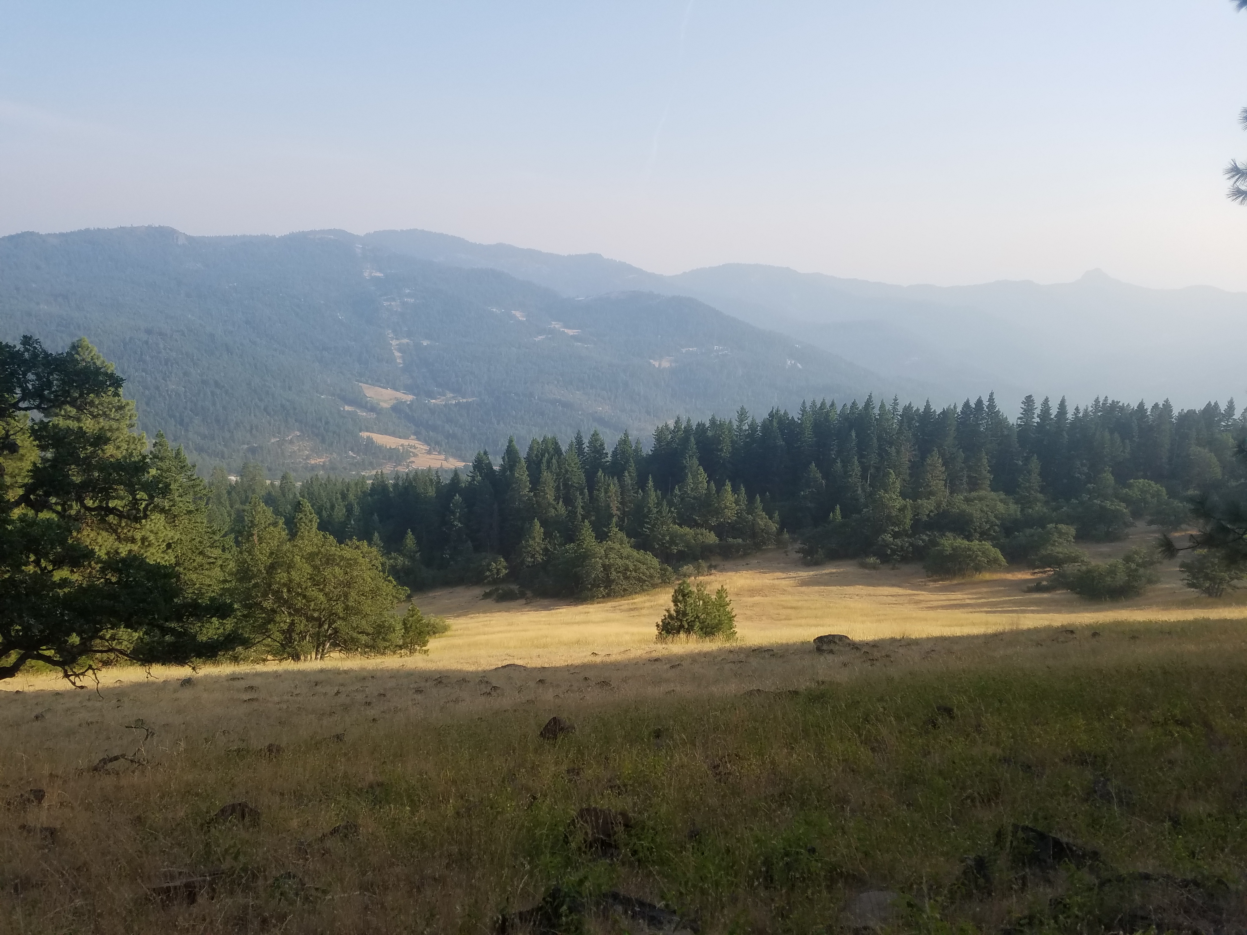
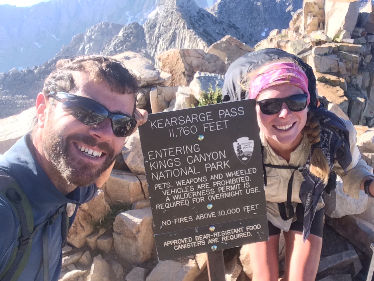
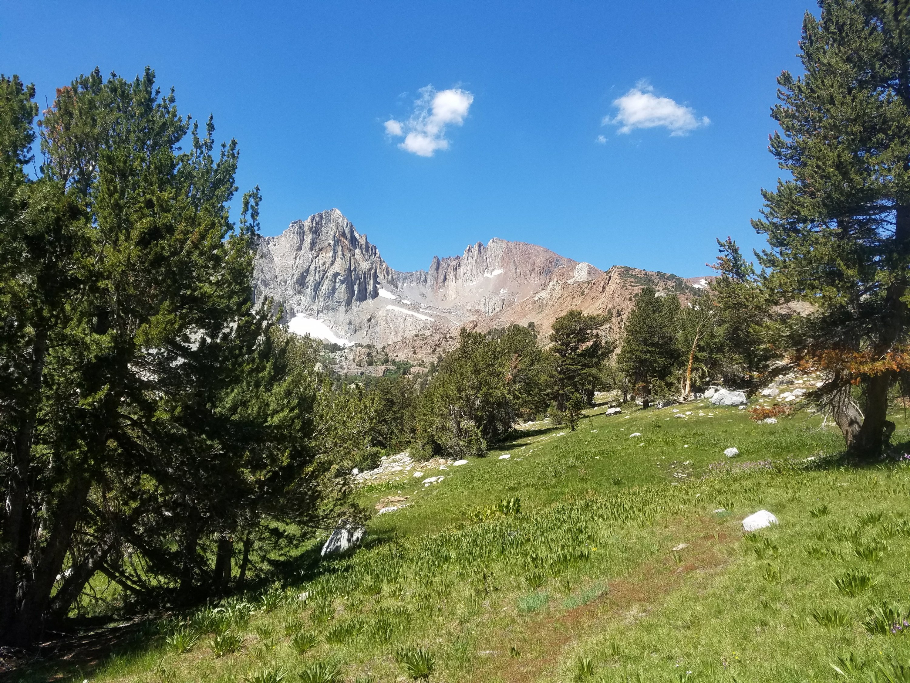
Today was a day filled with emotions. It was our last full day in the Sierra and our last miles on the PCT in California. It also had the highest highs and lowest lows on the trail.

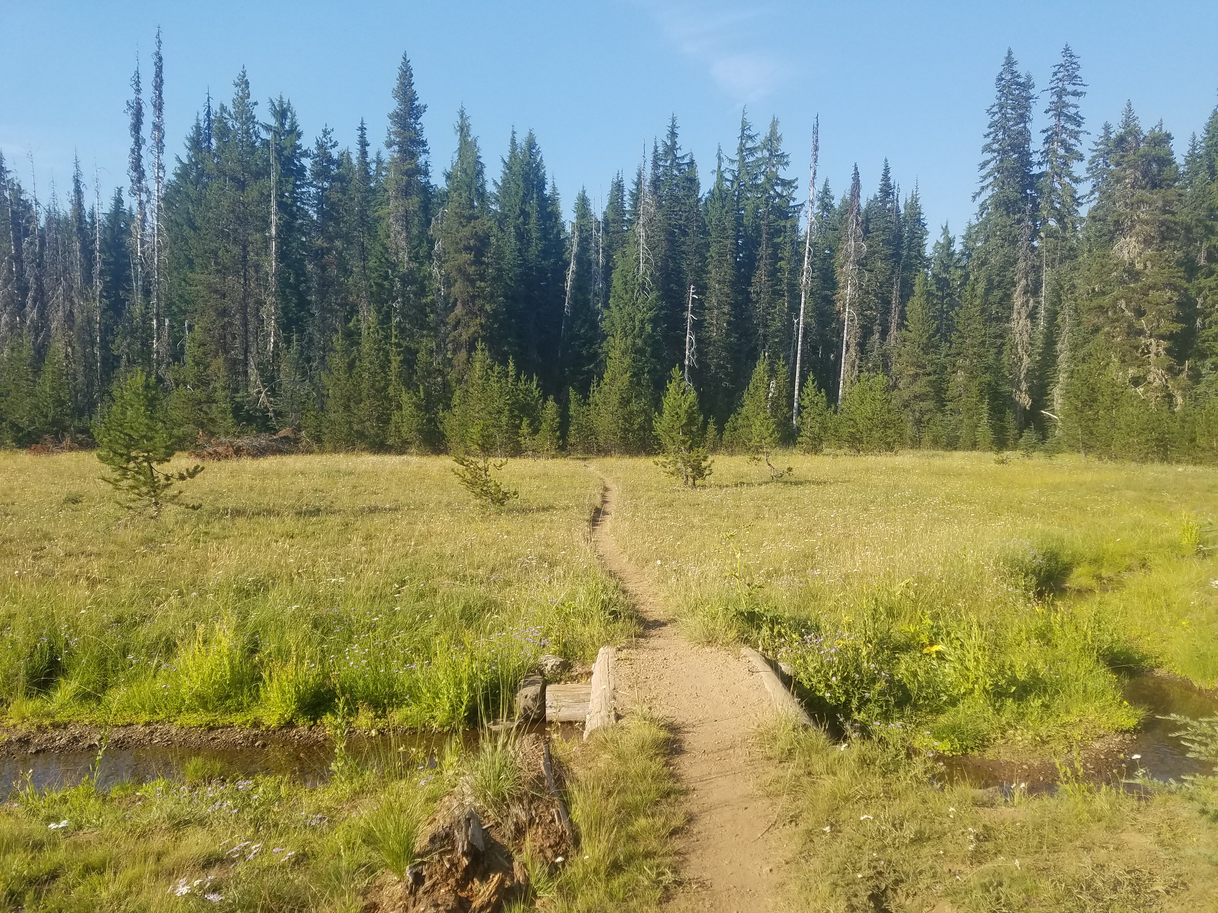
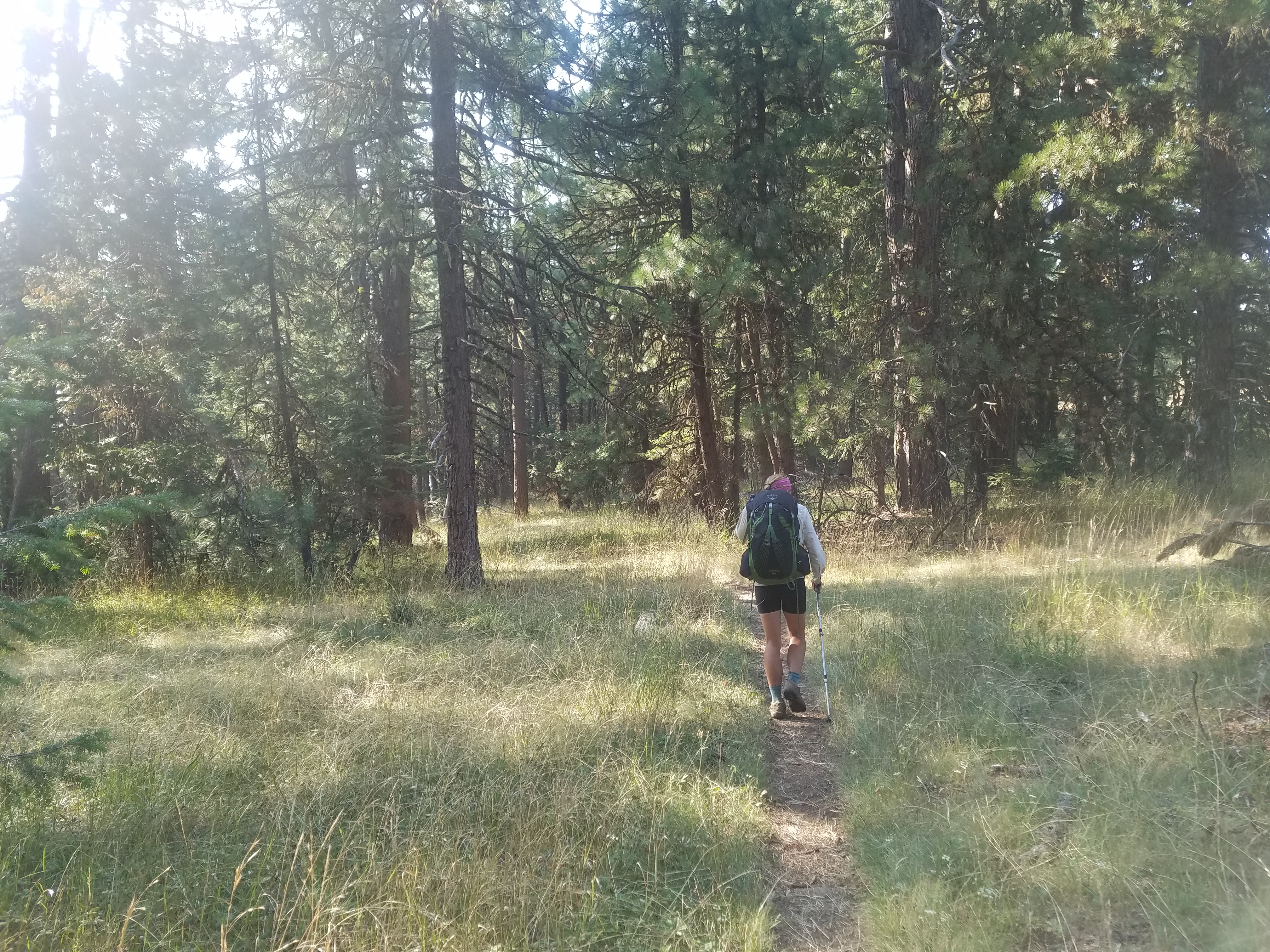
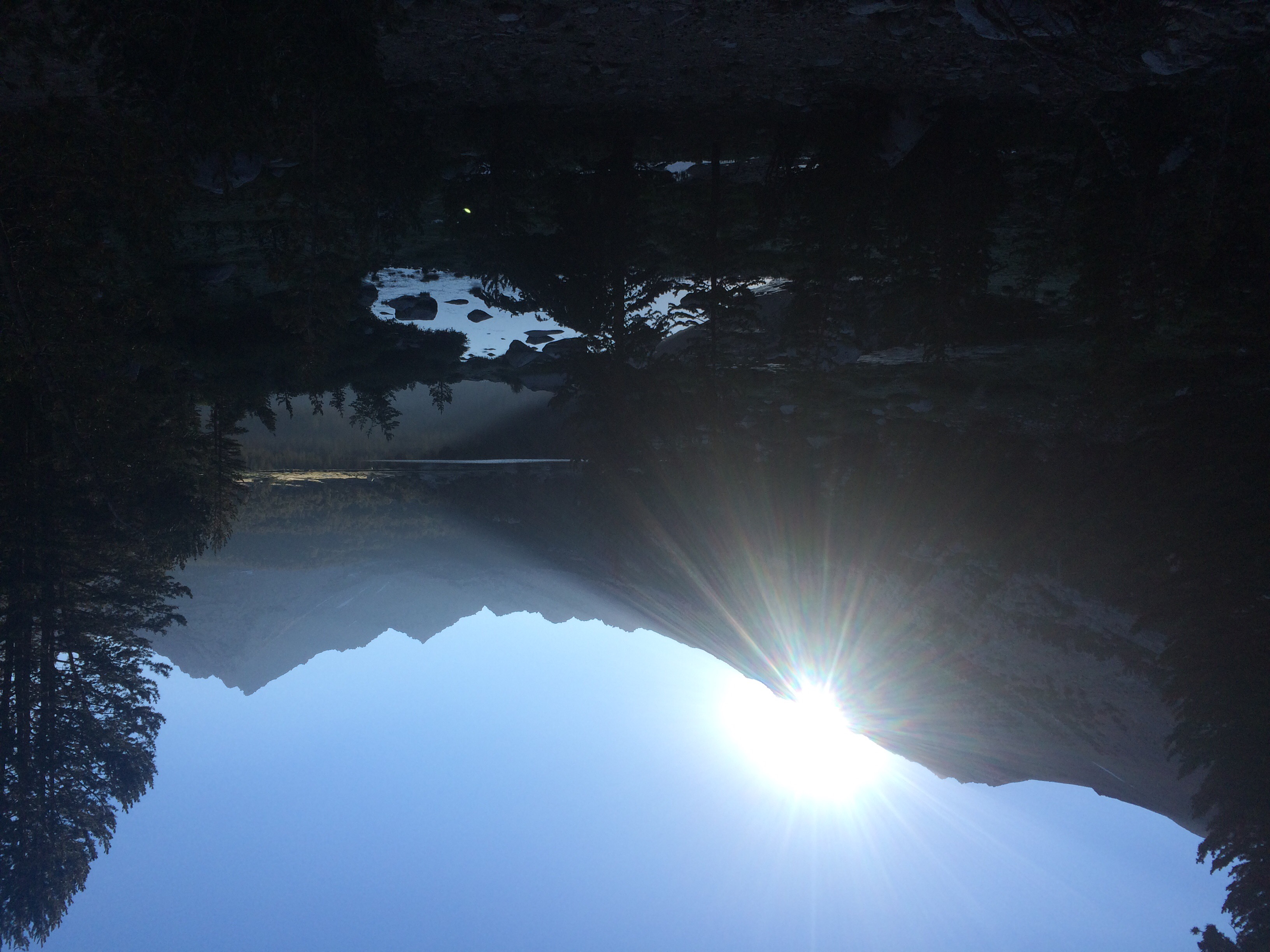
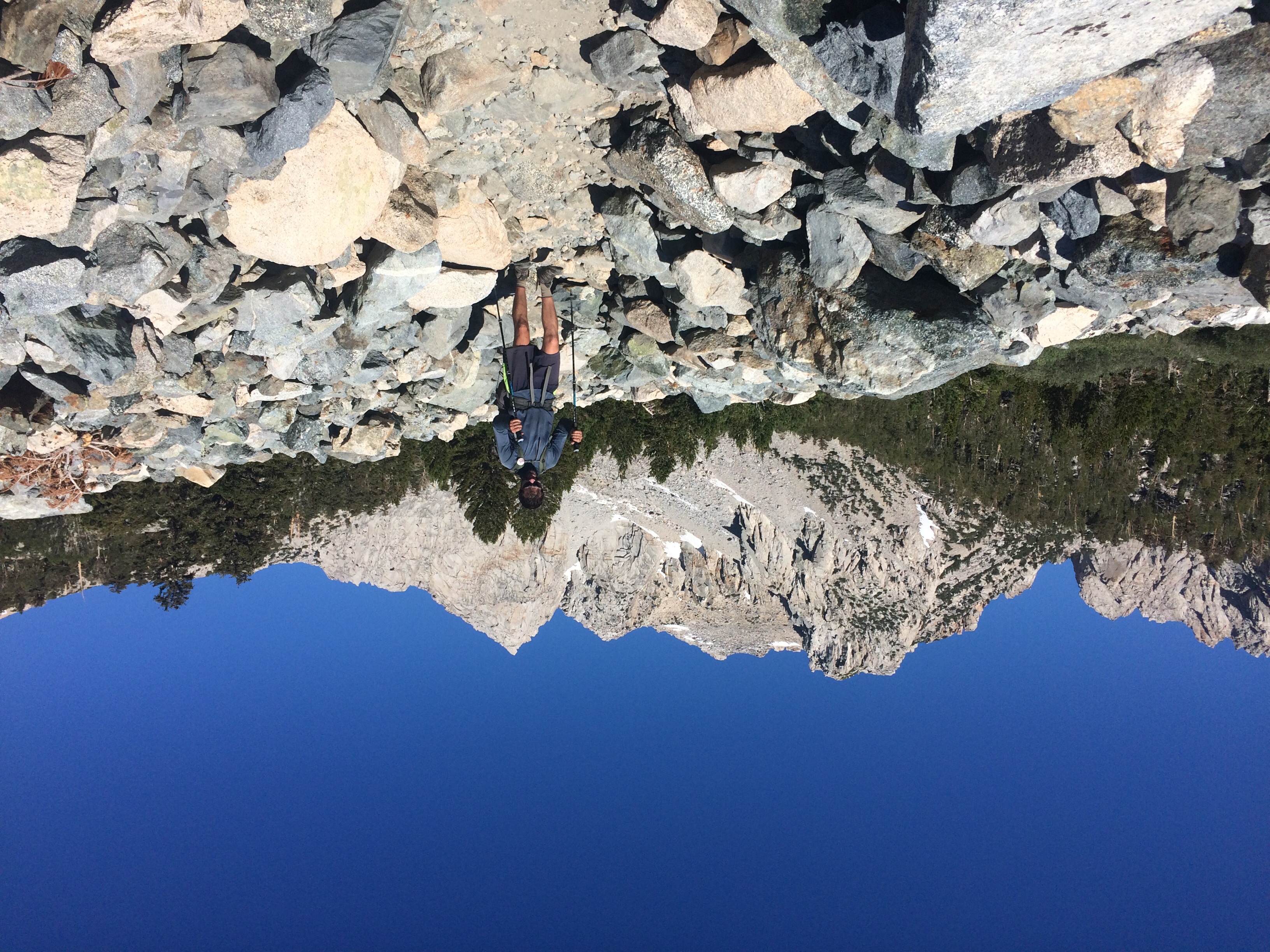
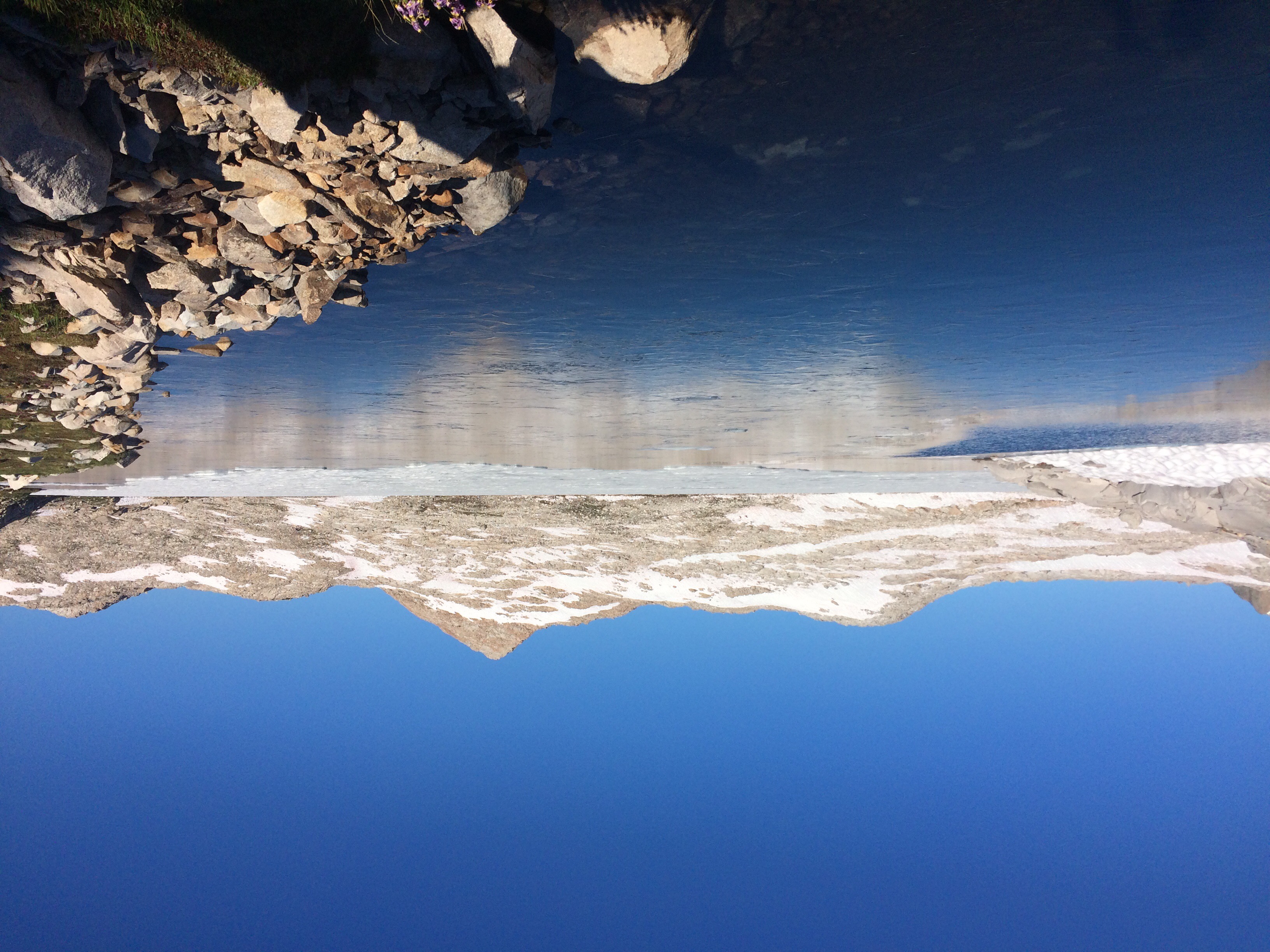
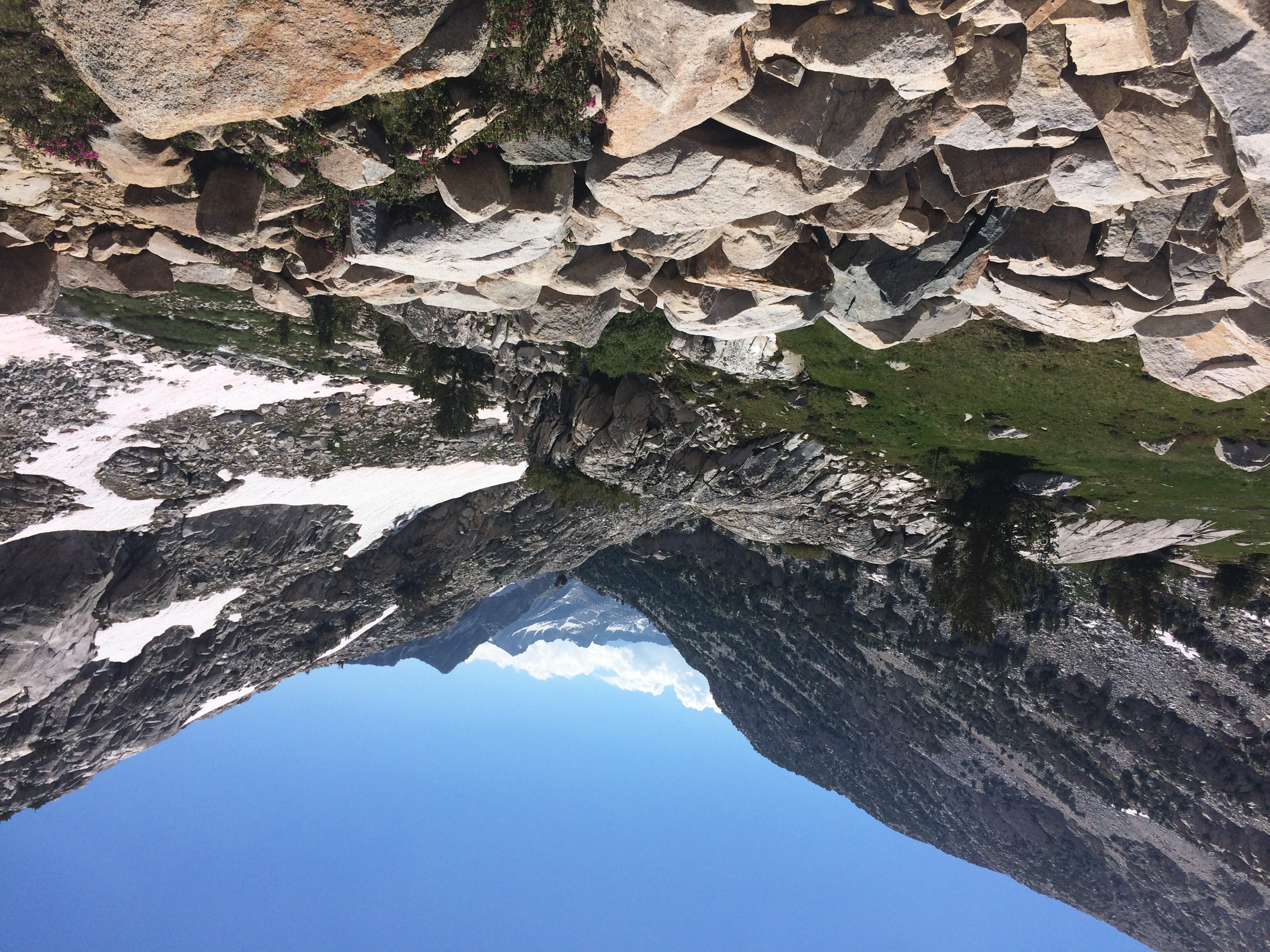
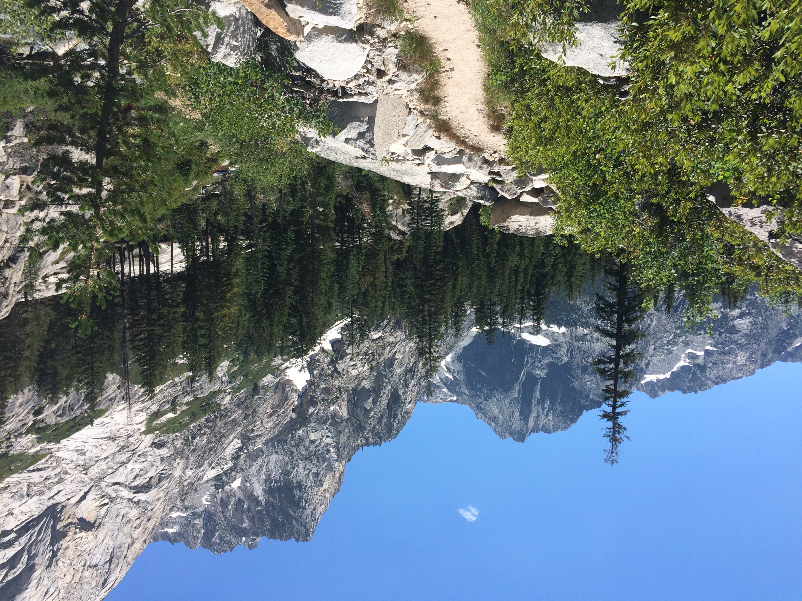
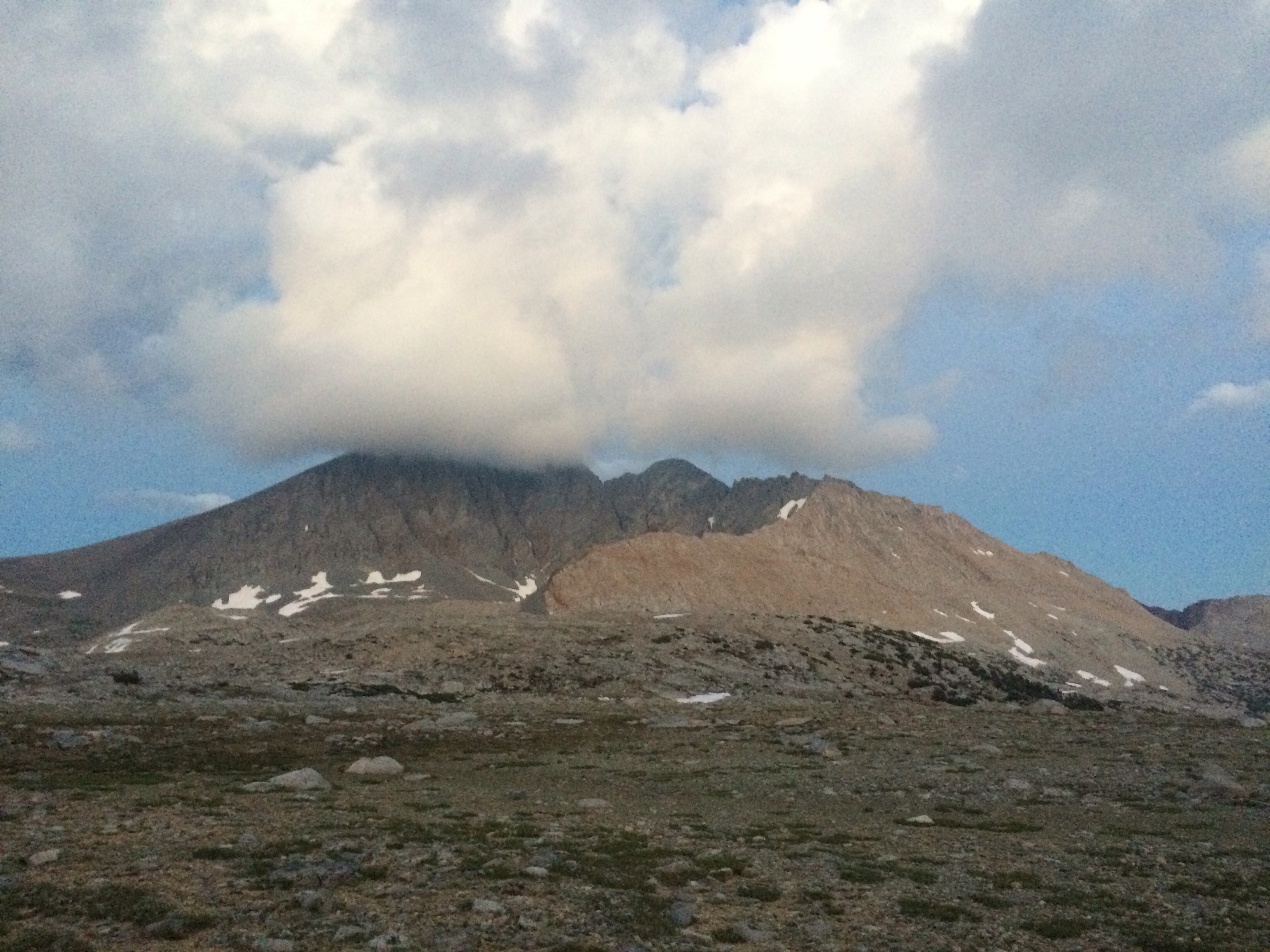
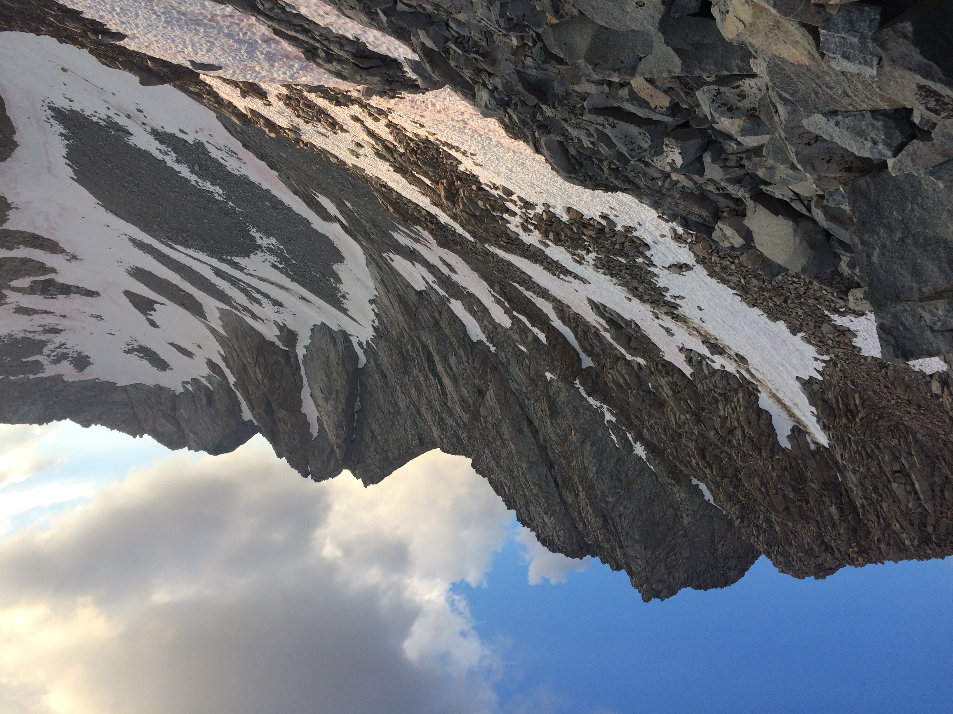
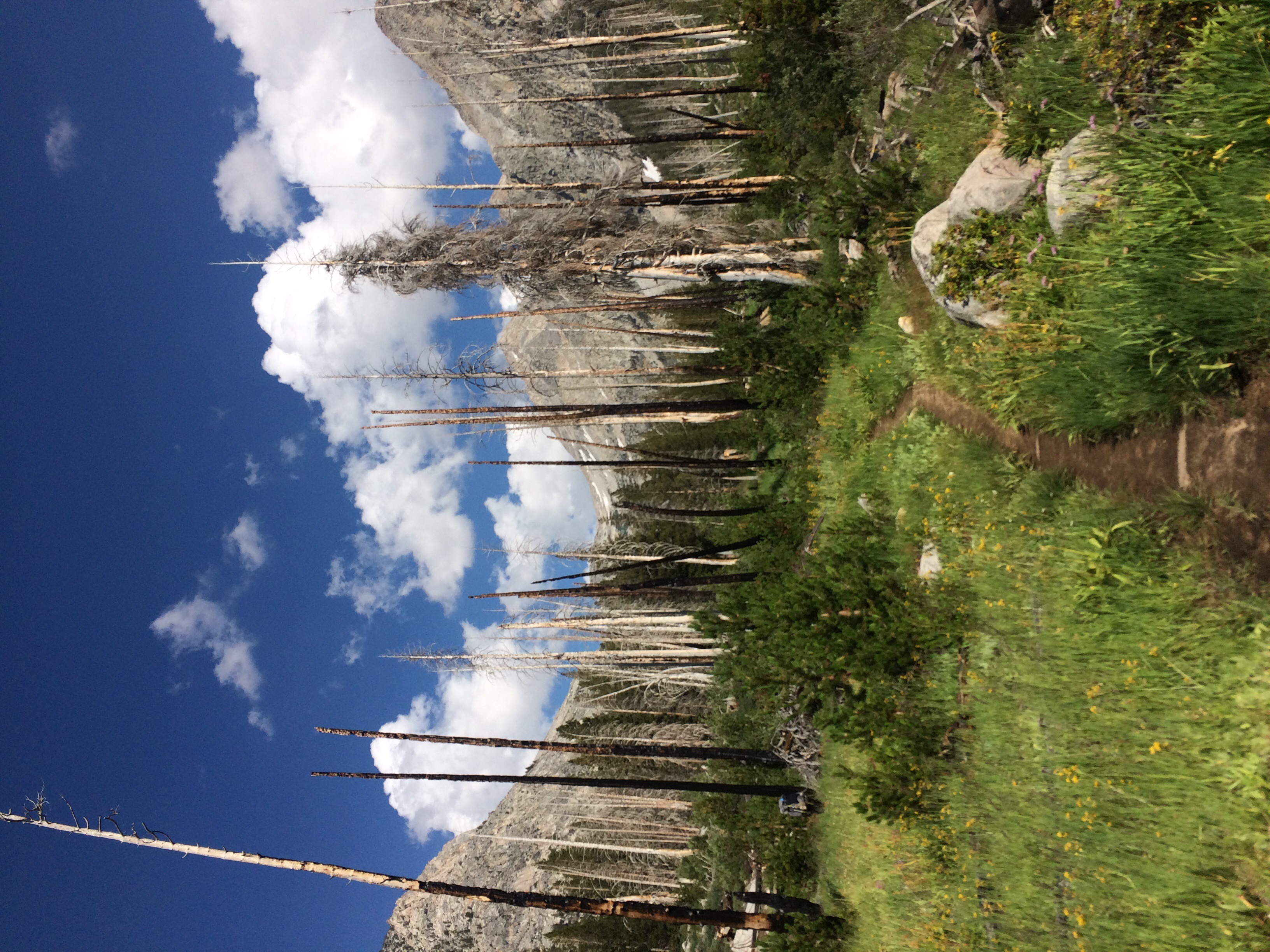
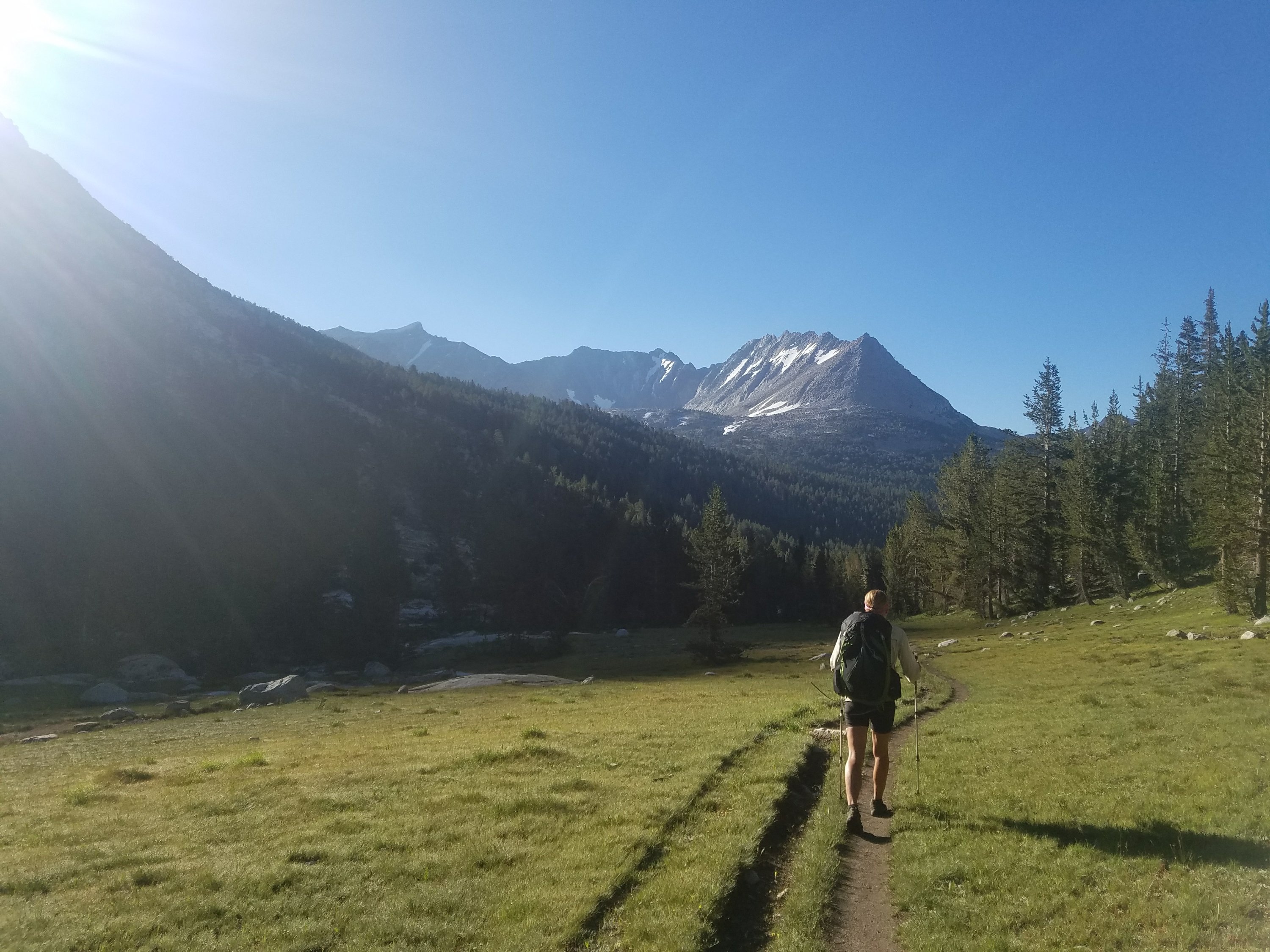
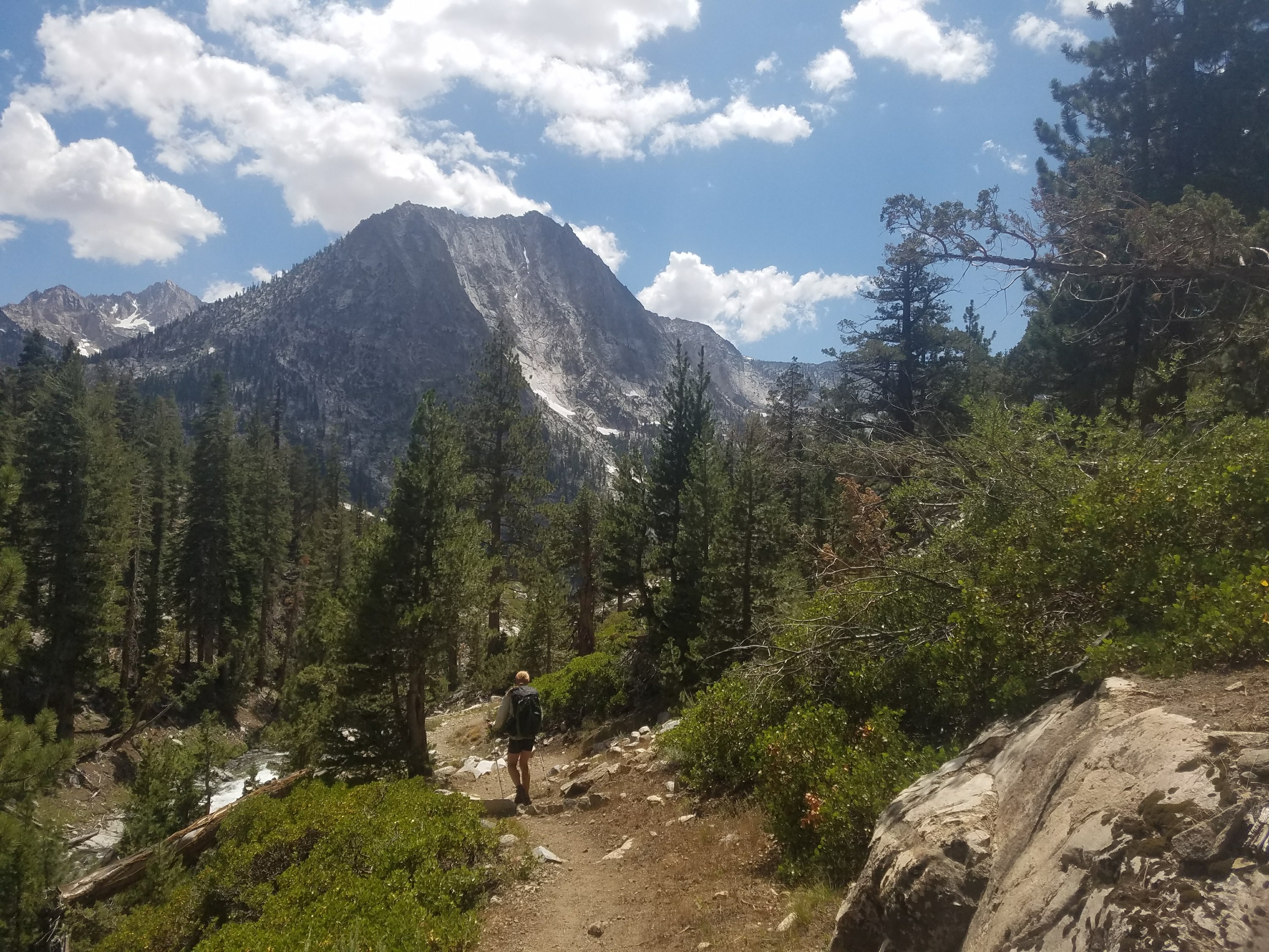
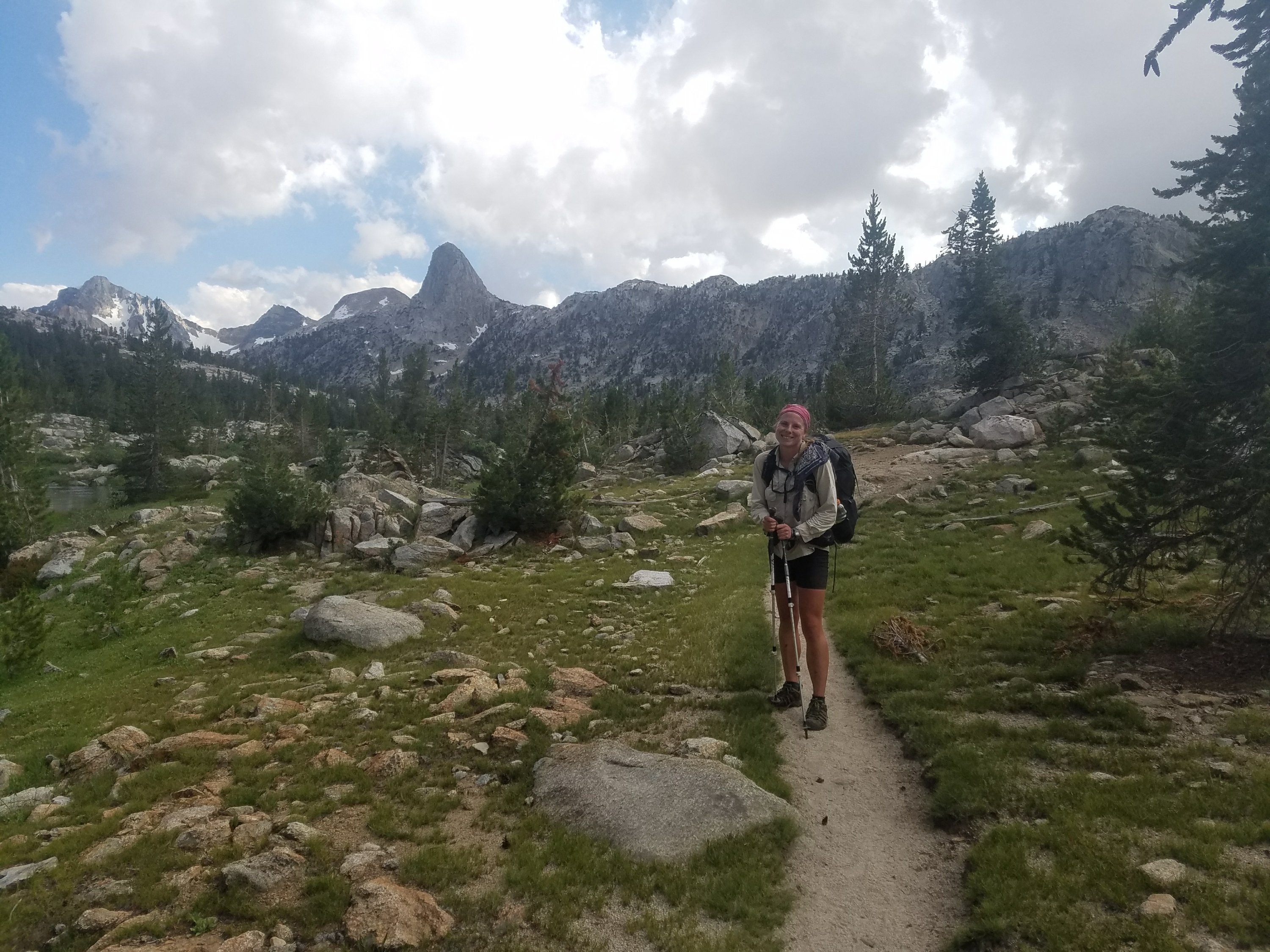
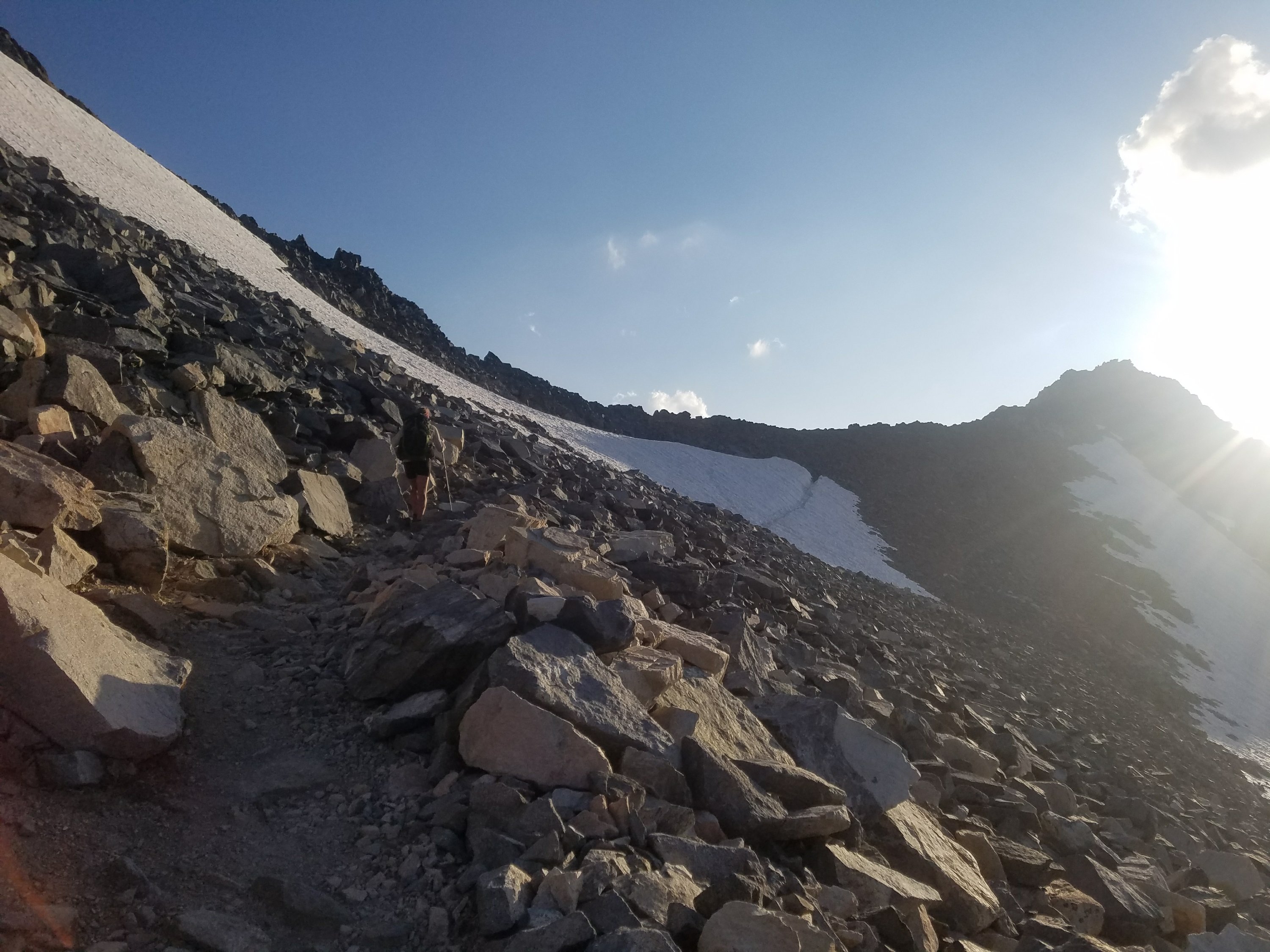
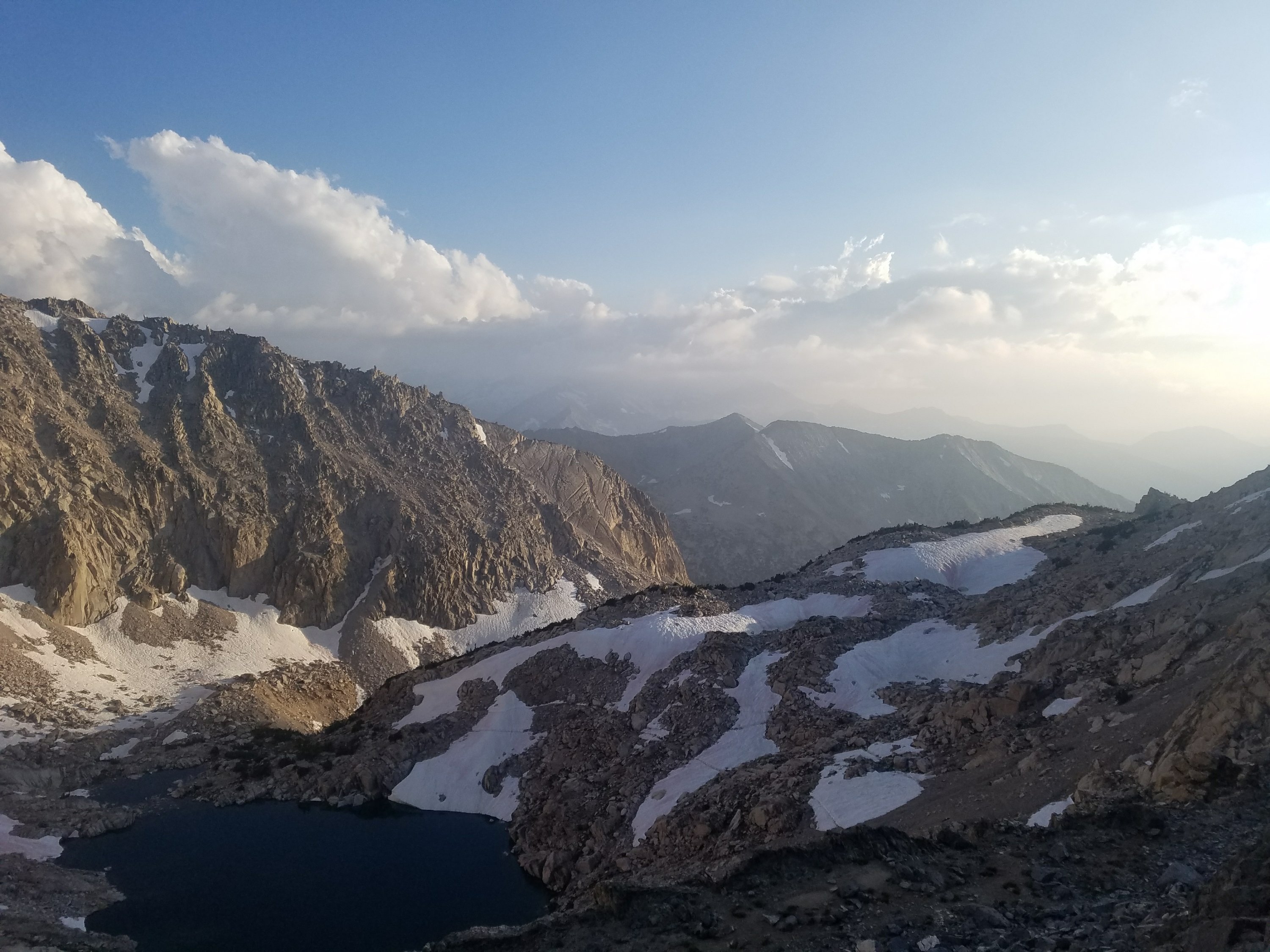
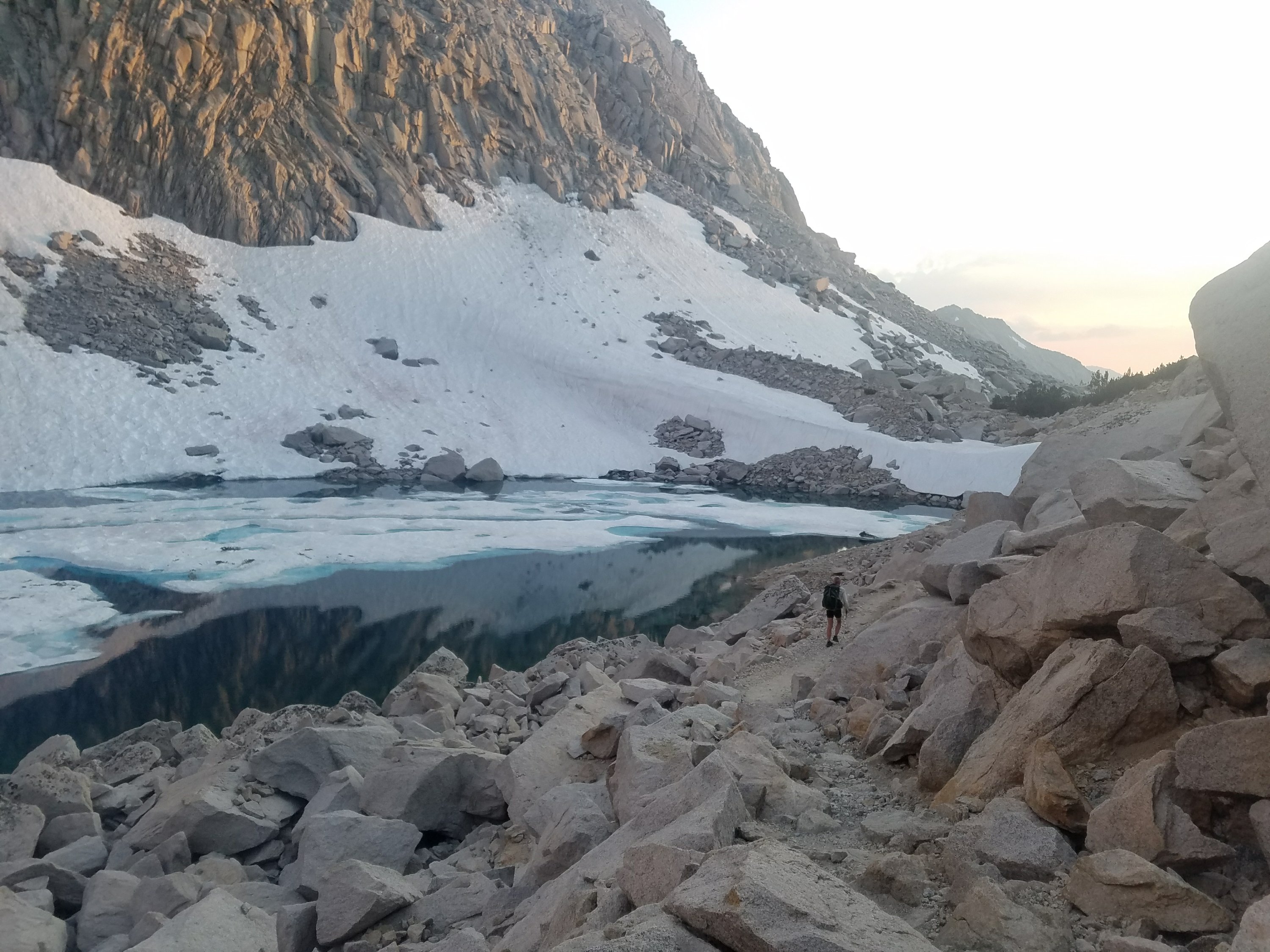
We woke up in the shadowed valley just south of Mather Pass. Both of us were very sore from yesterday’s long and late adventure over Mather Pass. We felt stiff and moved slowly packing our things. Yote and 2.Toe were packed and ready just before us but we weren’t far behind. As the sun rose and started to warm the chilly slope we descended to meet our first obstacle of the day.

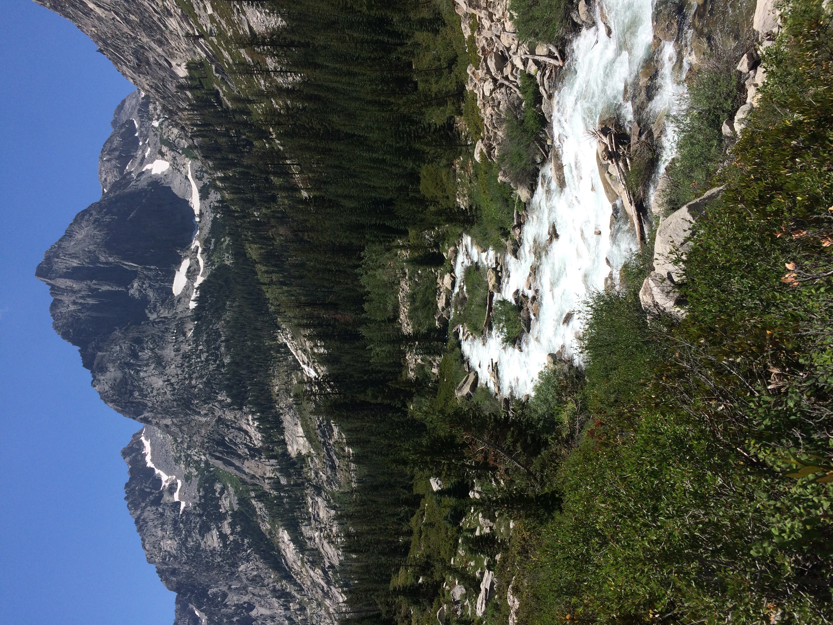
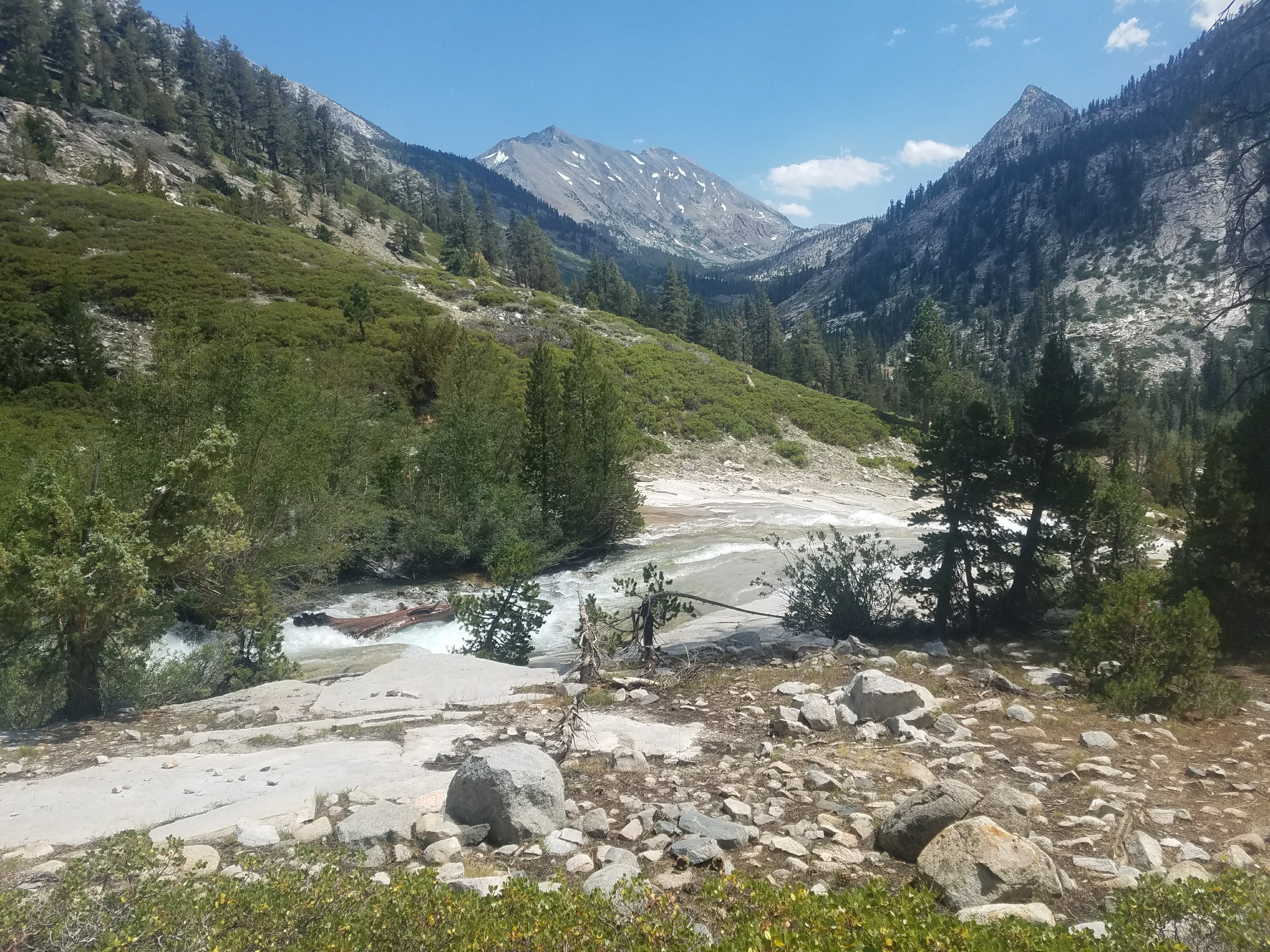
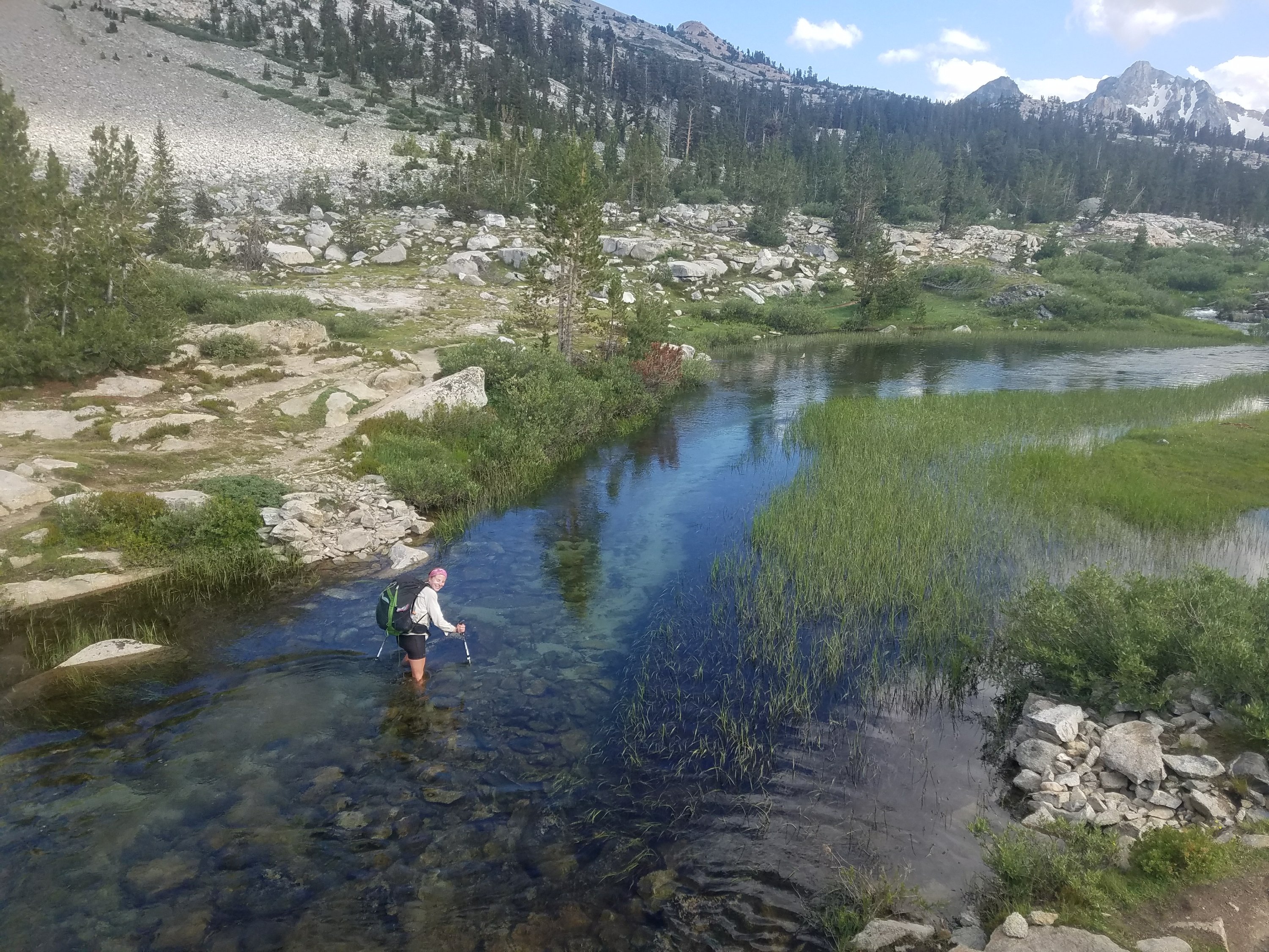
Today we were crossing South Fork Kings river where recently they discovered the body of a PCT hiker woman named Rika Morita, submerged near the alternate crossing. She disappeared during peak melt on July 8th after an argument with her boyfriend. They had separated and they both went on alone. This story of course made Sherpa feel very apprehensive about the crossing and the trail crossing wad supposedly still very treacherous. I was less concerned because I have spent a lot of time in rapid water both as a kid and as an adult so I feel relatively comfortable with identifying safe crossings. Also I tend to be much more risk tolerant which is why we make a good team.

As we approached the official crossing there was a sign saying that the crossing was still dangerous and recommending to take the alternate. The sign had no date on it and we receive so many warnings from inexperienced hikers that we all looked very suspiciously at it. After a quick discussion we all decided to go see for ourselves. I stupidly didn’t realize that this was the ill fated crossing and alternate of Rika Morita. I could sense as we descended the 1.5 miles that Sherpa was feeling more tense and I was starting to get anxious about her getting really scared and having a difficult time finding a comfortable and safe crossing. I started glancing at the water for a crossing option. We were still pretty high up in the meadow and the water was pretty mild. I asked if she wanted to cross but she replied no. So we went on and the water’s tempo started to pick up.

I started to think that we needed to get across before it became too scary. I soon realized we were past that point for Sherpa. I saw a log that appeared to cross the whole river and seemed, at first sight, very substantial. I told her I wanted to check it out and she agreed so I crossed and had a look at the log.

It was substantial, but it was also covered in slime so it looked a little risky. I went back and described what I saw to the three of them. Yote and 2.Toe decided they wanted a look and I told Sherpa it might be a little too sketchy for her comfort. She also wanted a look so we all approached it.

2.Toe decided to cross and hopped on the log and went across without incident. Yote followed a little more cautiously after he heard how slippery it was. It looked pretty scary and I told Sherpa she might want to scoot on the log instead of walking. She said that would be too difficult because the water was rushing right under the log so her feet would be in the rushing water.

At this point she was very scared and anxious. She said “I’m not doing this!” I asked her if she wanted to go back to the alternate but she didn’t want to backtrack. Then I asked if she wanted to continue on to see if there was a safe crossing and she said no. Amid the anxiety of the moment there were also lots of mosquitos biting us and making things more difficult.

I started to get frustrated because I felt like she didn’t want to go back or forward, or stay where we were. I said let’s at least go back to the trail where there were less mosquitos and I started tromping back to the trail. On the way there was a minor crossing which Sherpa had easily crossed on the way to the log. Now that she was scared it looked really difficult. I showed her where I crossed on a rock and when she went to put her foot on it, her foot slipped into the water. Normally this wouldn’t be a big deal because our feet are always wet and we often trudge through water multiple times a day, but she was already so terrified so it amplified the stress.

I was starting to get really unfairly frustrated. I should by now know how to handle these moments. She always comes around and we always find a solution that works for both of us. Instead I just wanted to have an answer on what she wanted to do next and she wasn’t in a state to be able to provide it. I asked again if she wanted to go forward or backward she replied neither.

This is a classic difficulty for us, she is looking for me to take the lead and find a solution and I am unwilling to lead her into a situation she doesn’t feel confident in. The challenge is that she will not feel confident anywhere on this river but she is going to cross it. She doesn’t give up. She has tenacity that is beautiful and unshakeable.

I wanted to hear her say what approach she wanted to take and she couldn’t do that so I angrily set up the tent to get away from the mosquitos and she was crying and frustrated with me because she just wanted me to lead her. We both felt trapped and I know better and should have taken a much more compassionate approach but unfortunately I didn’t have the wherewithal.

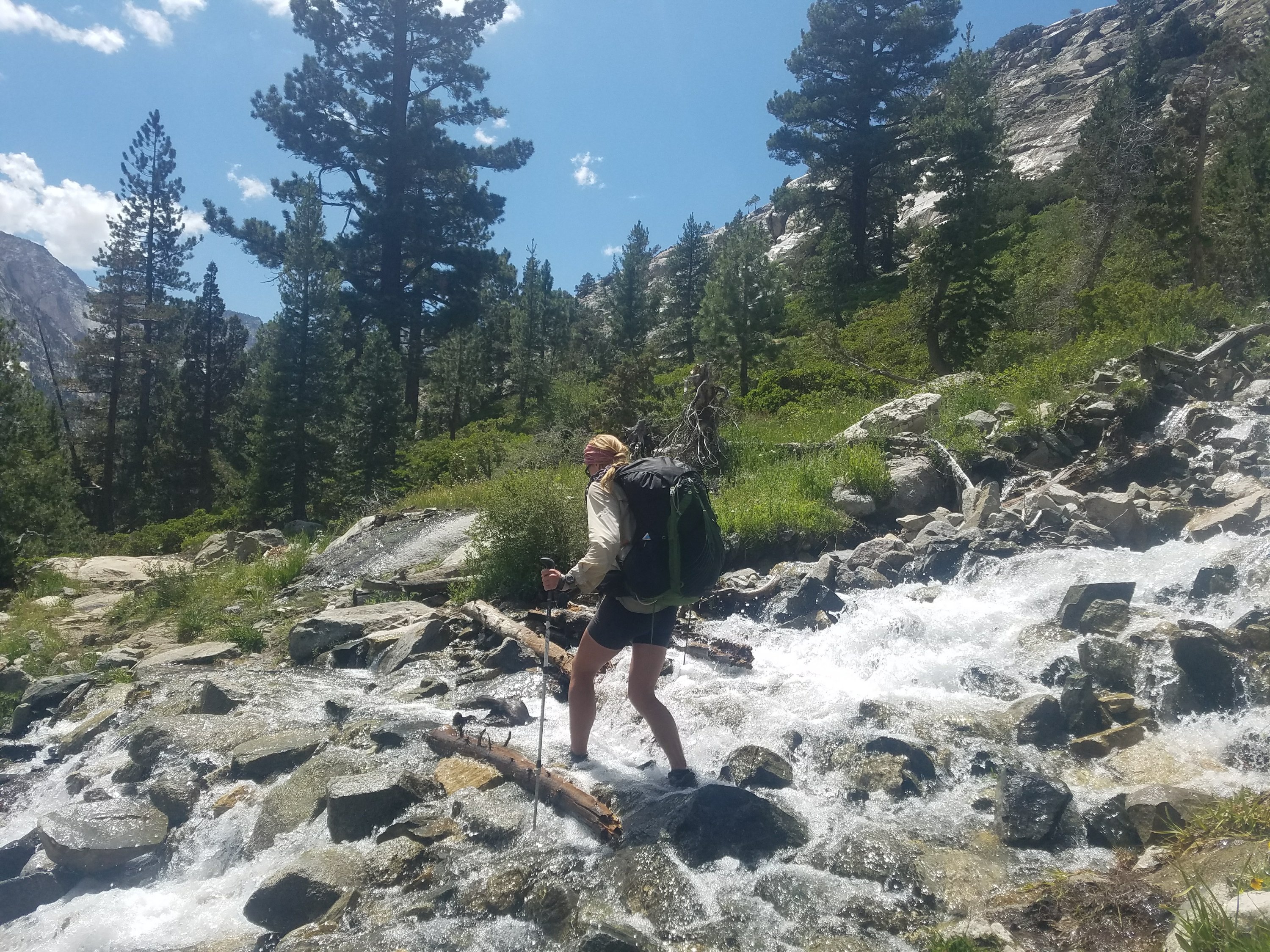
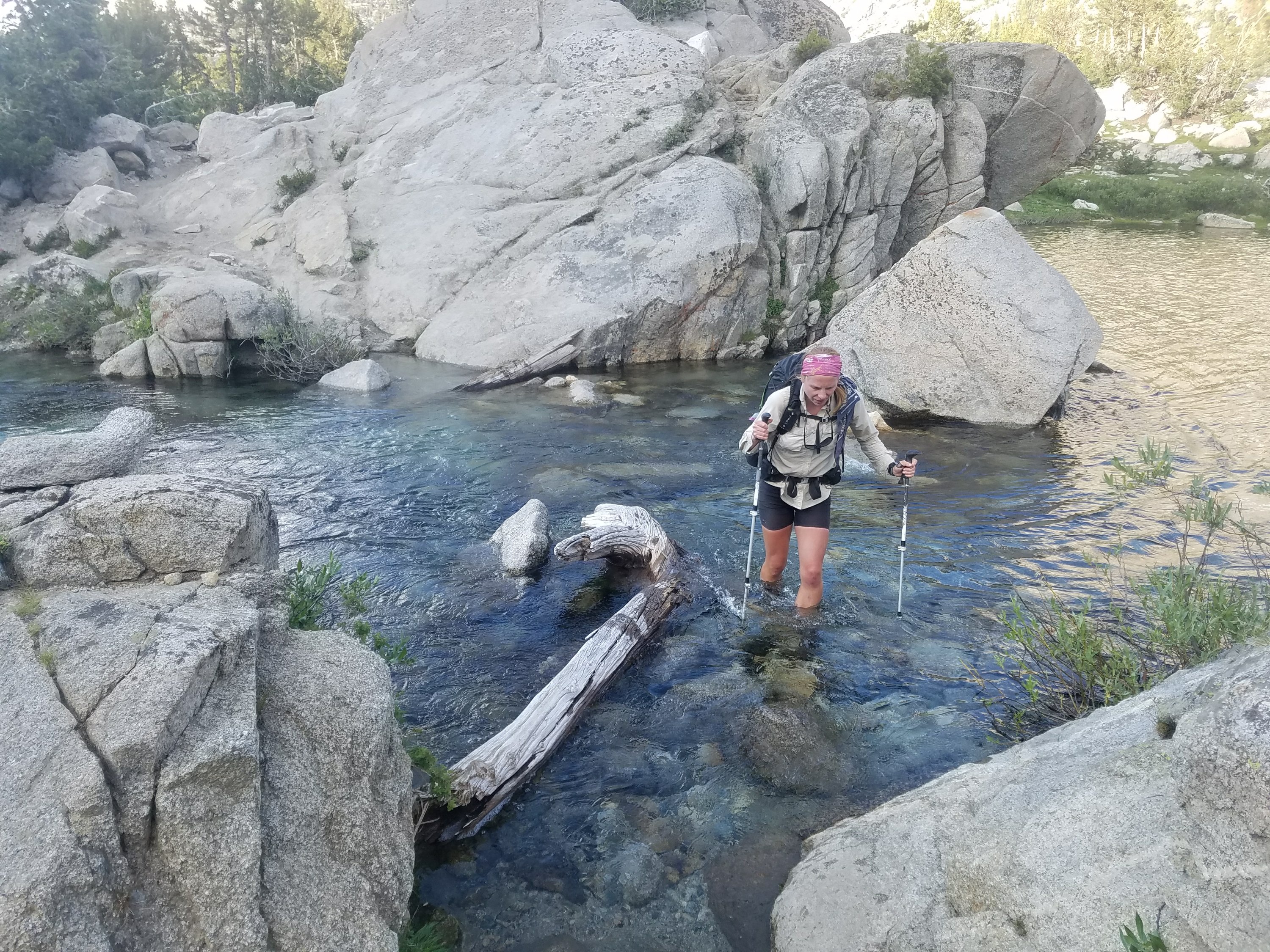
Finally after talking frustratedly at each other through the tent we decided to go forward and look for another crossing. As we went on the trail looked less and less maintained and there were many downed trees. Sherpa was getting frustrated with me again and wanted to be walking near the river. I realized we just needed to get across at the first opportunity possible because the crossing was growing in our minds and becoming impossible.

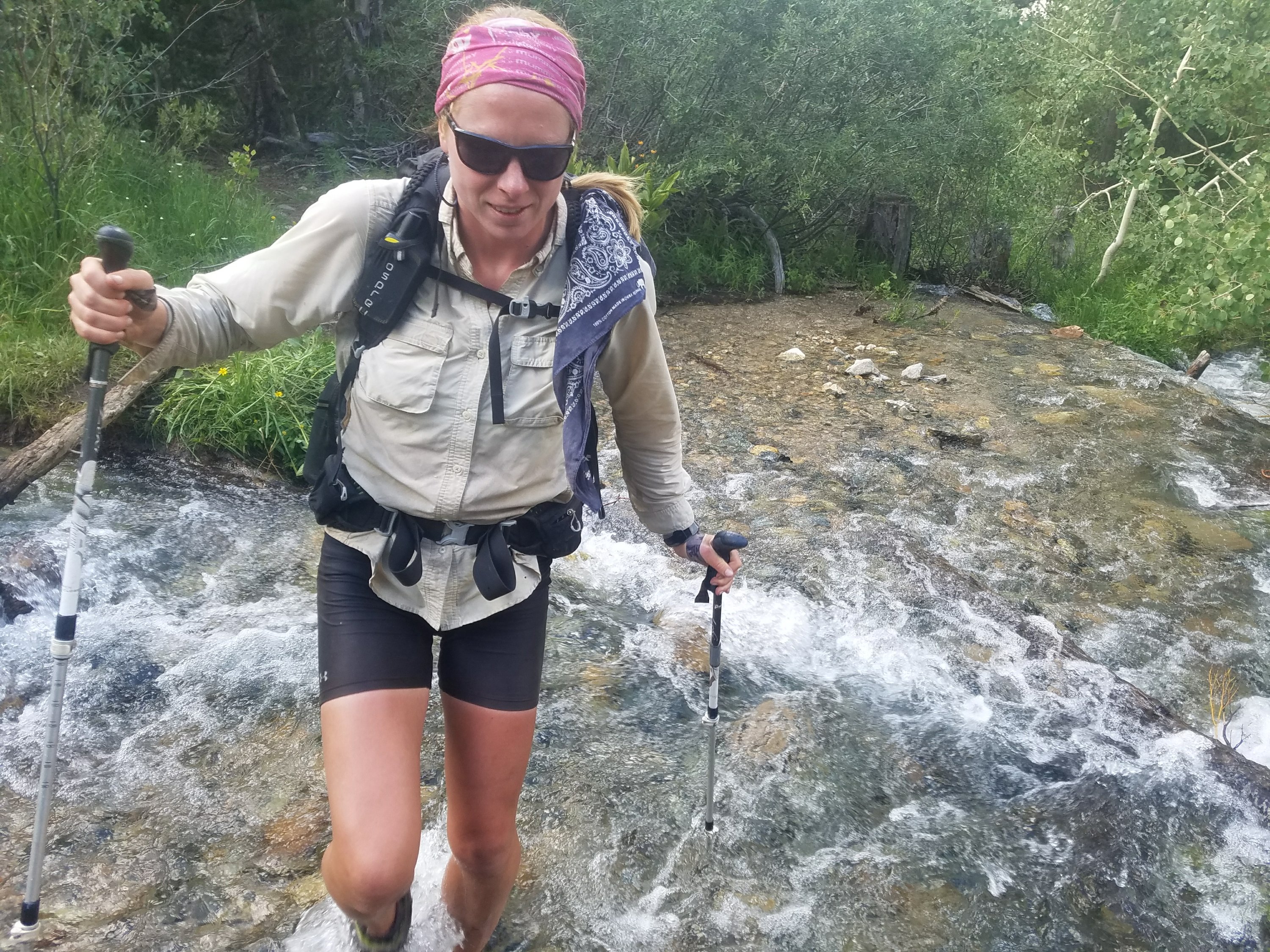
We approached the water and I found a soft looking spot and waded into the water to test it without really explaining what I was doing. Sherpa on the bank was crying, terrified and thought I was going to die. I couldn’t hear her because of the water but turned around and saw she was falling apart for fear of my safety.

I came back and finally was able to access compassion for her overwhelming anxiety. I was so wrapped up in my own frustration that I couldn’t give her the attention she needed.

I held her for a moment and asked her to try to calm herself down and she started to relax. I told her that I was sorry for not being compassionate. I told her that I felt the crossing was safe and we could do it together. She calmed down and agreed.

We stepped across the river slowly and though the footing was awkward and there were moments where she felt like she was going to fall, we were able to pick our way safely across.

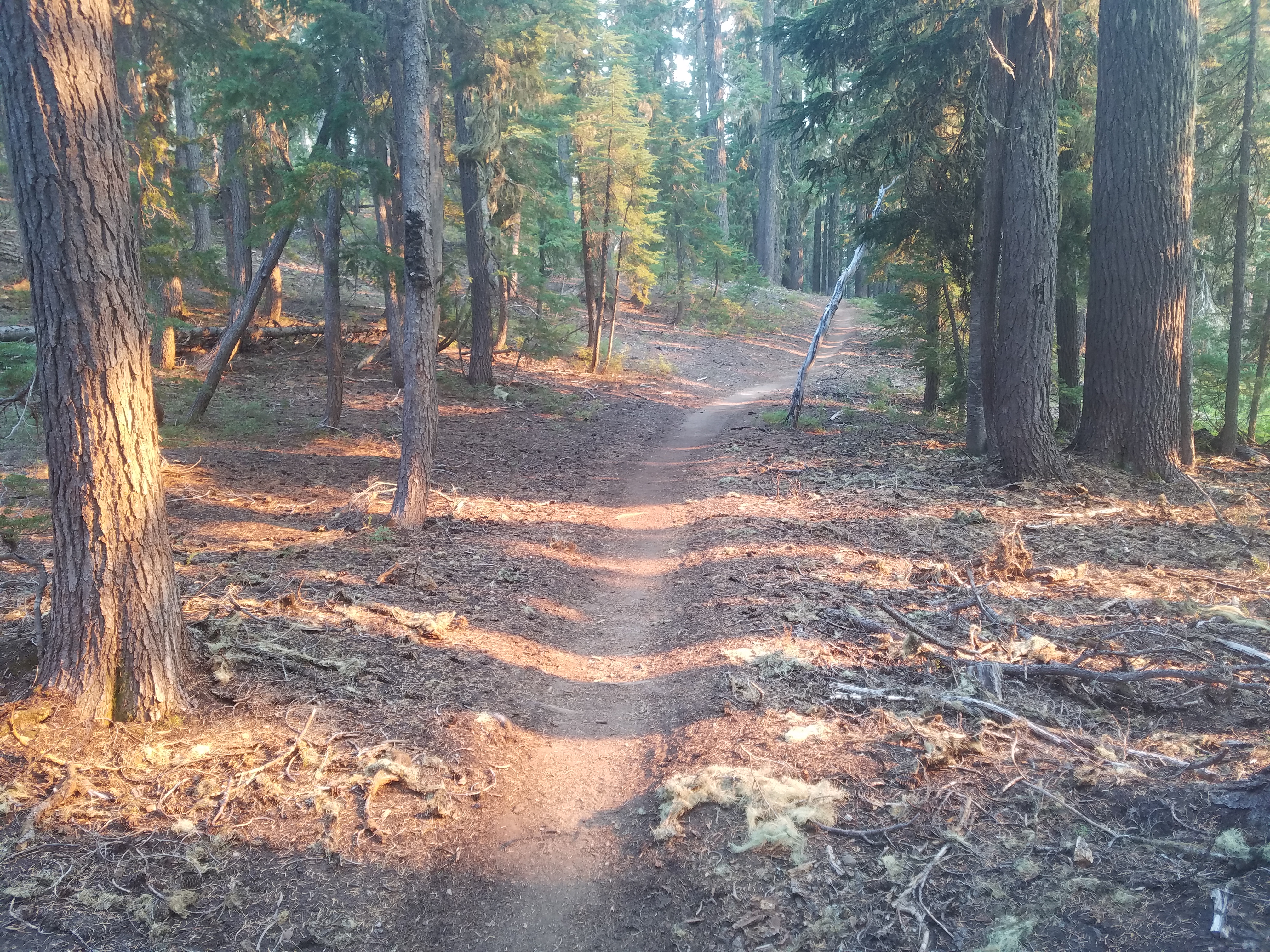
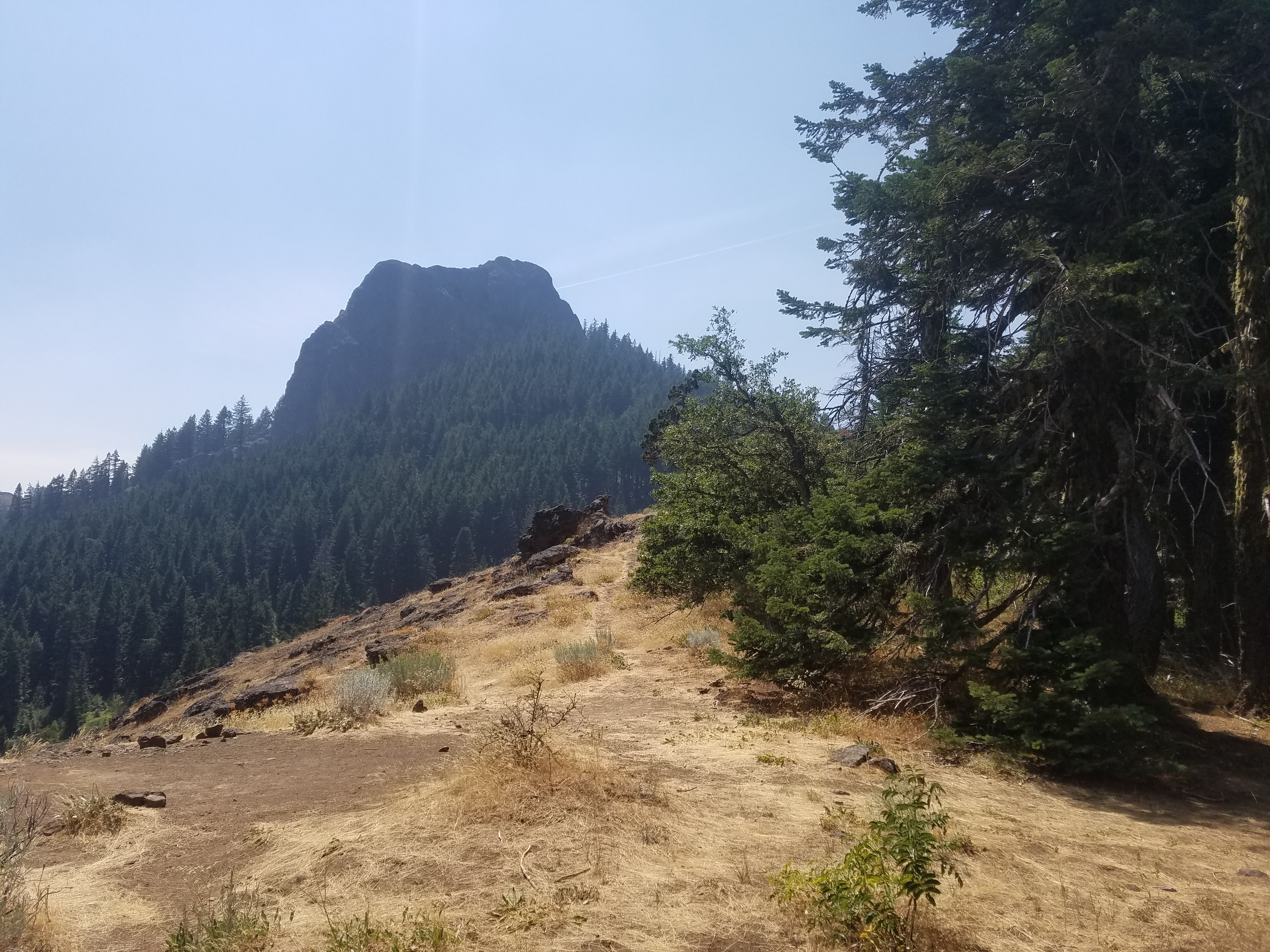
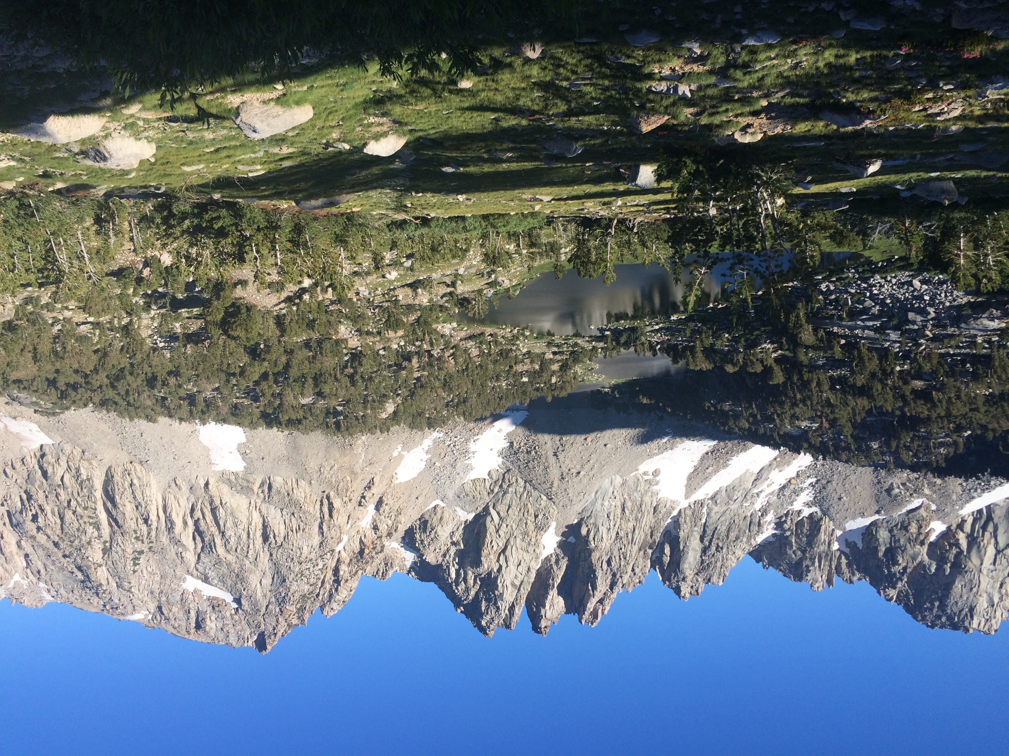
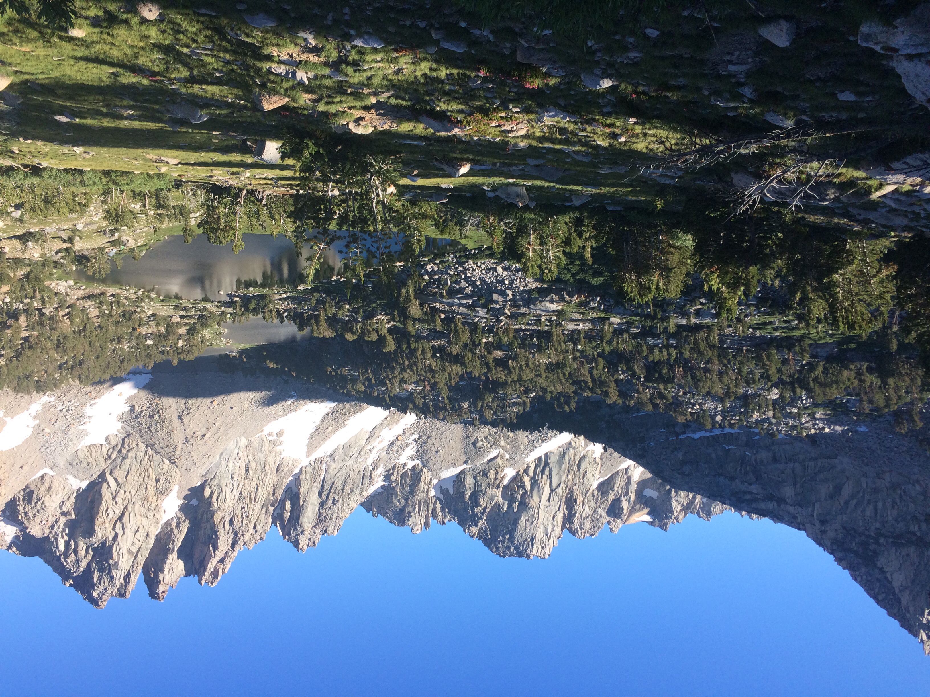
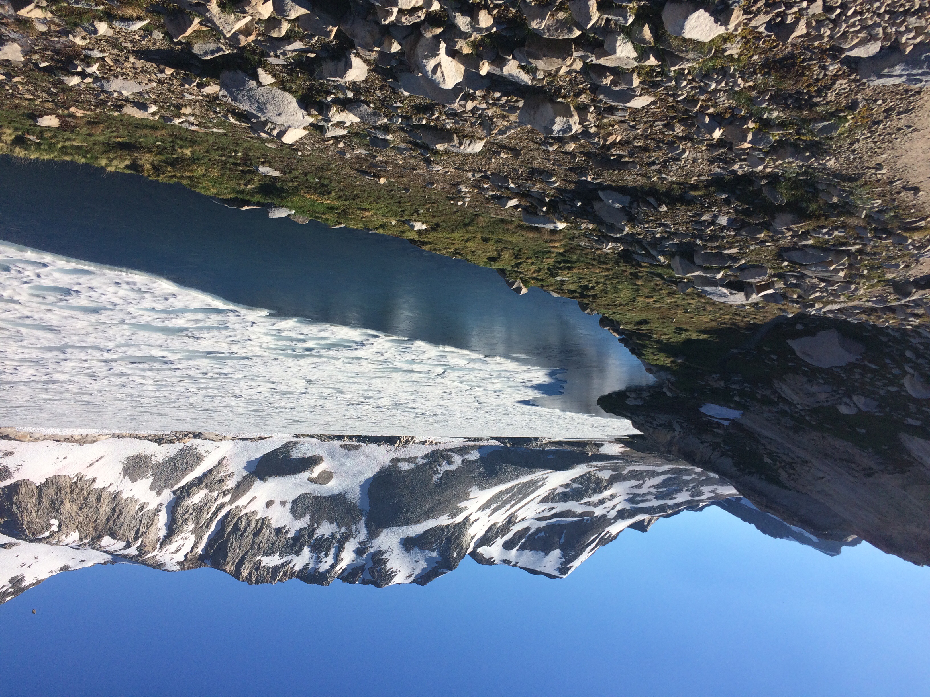
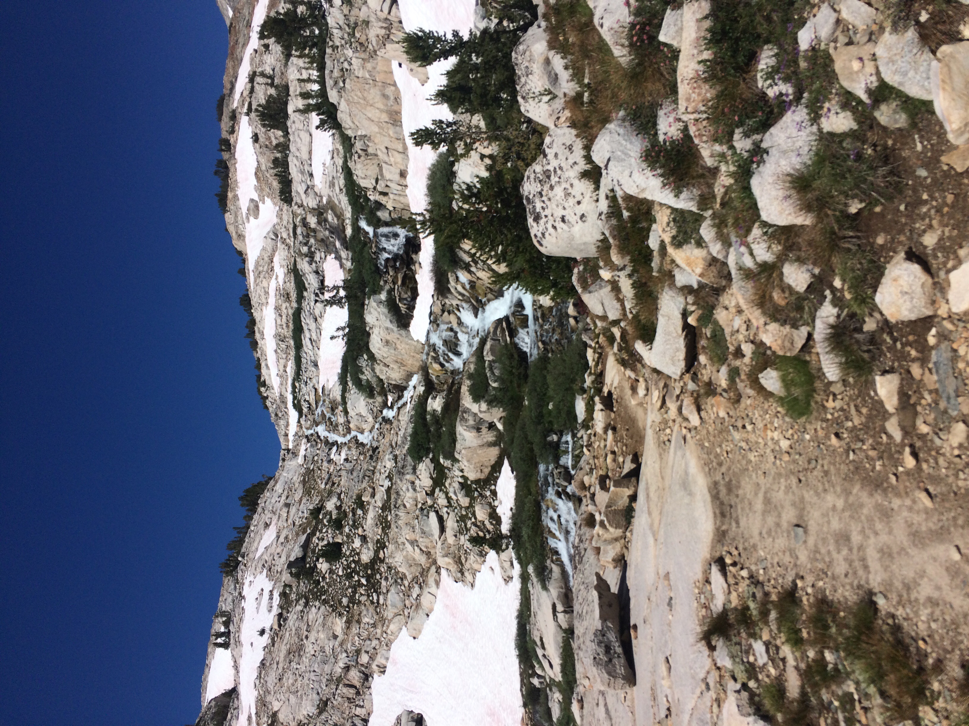
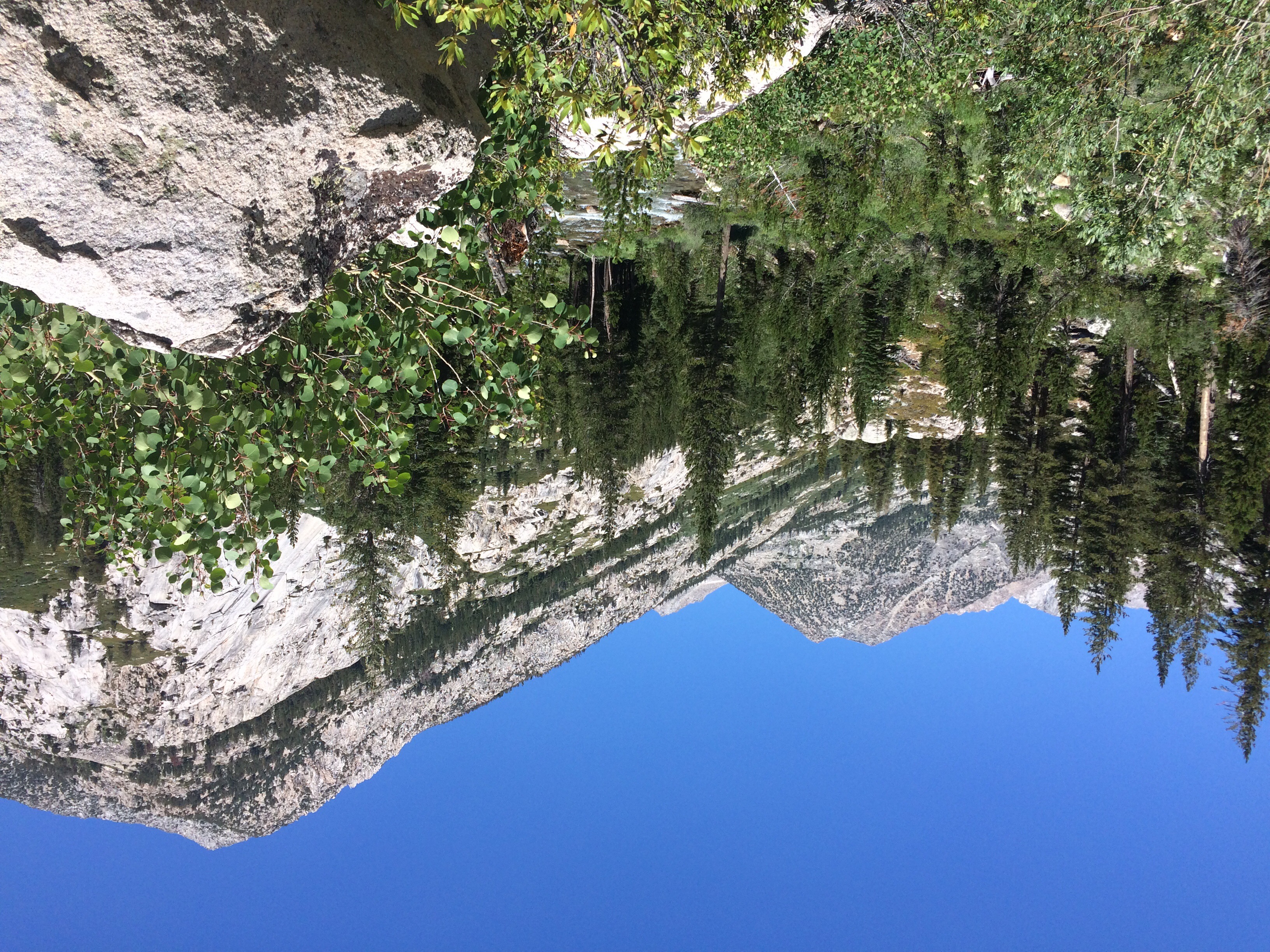
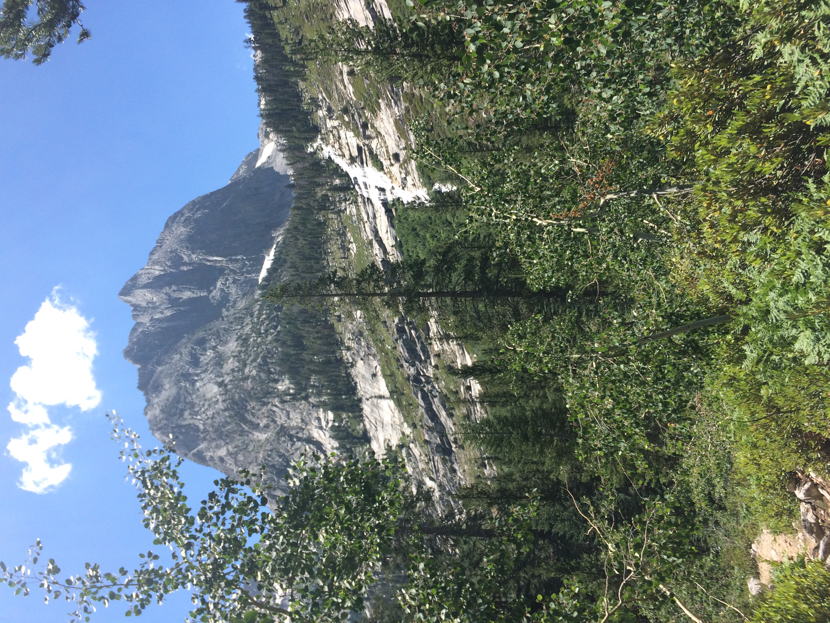
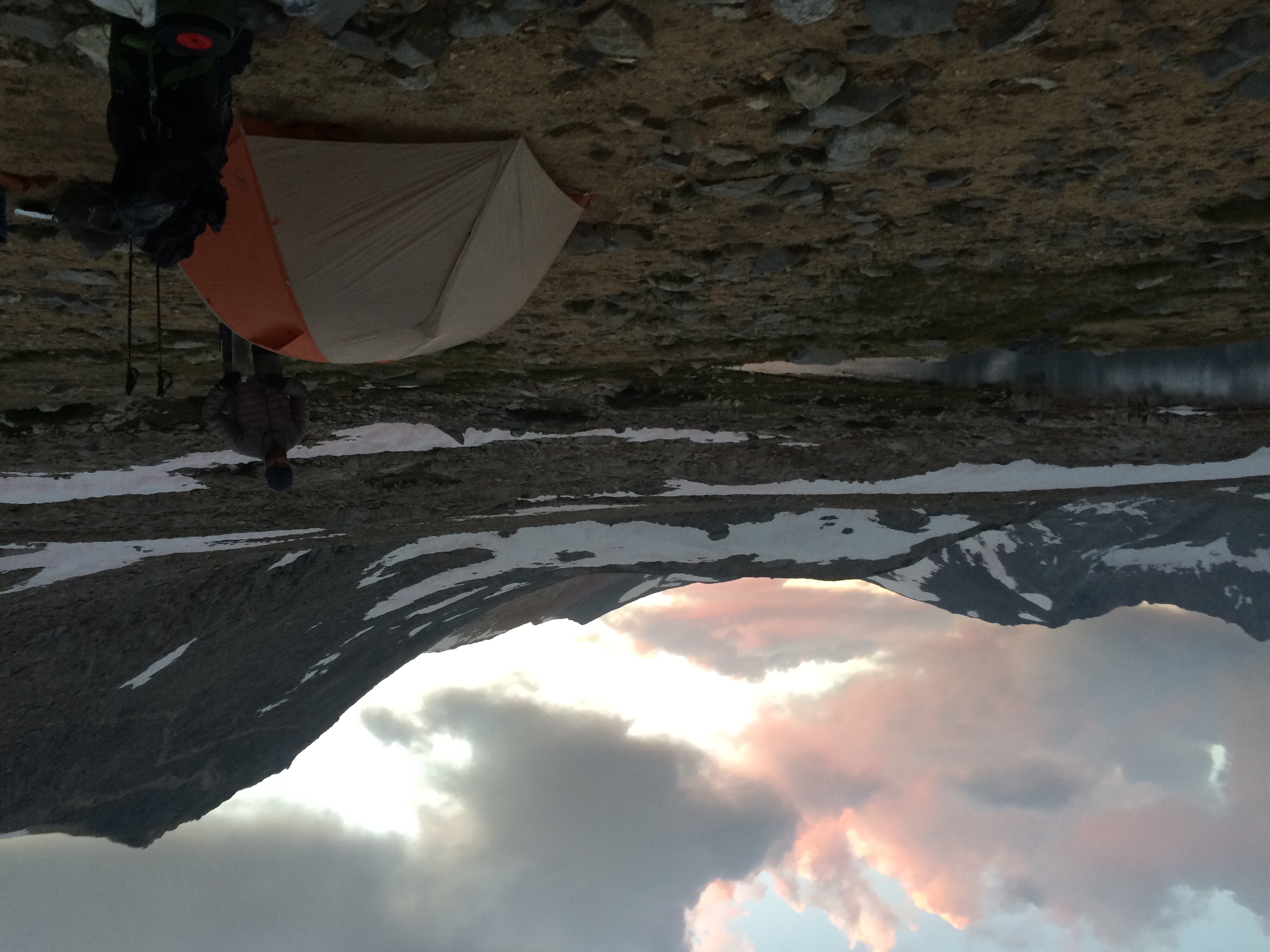
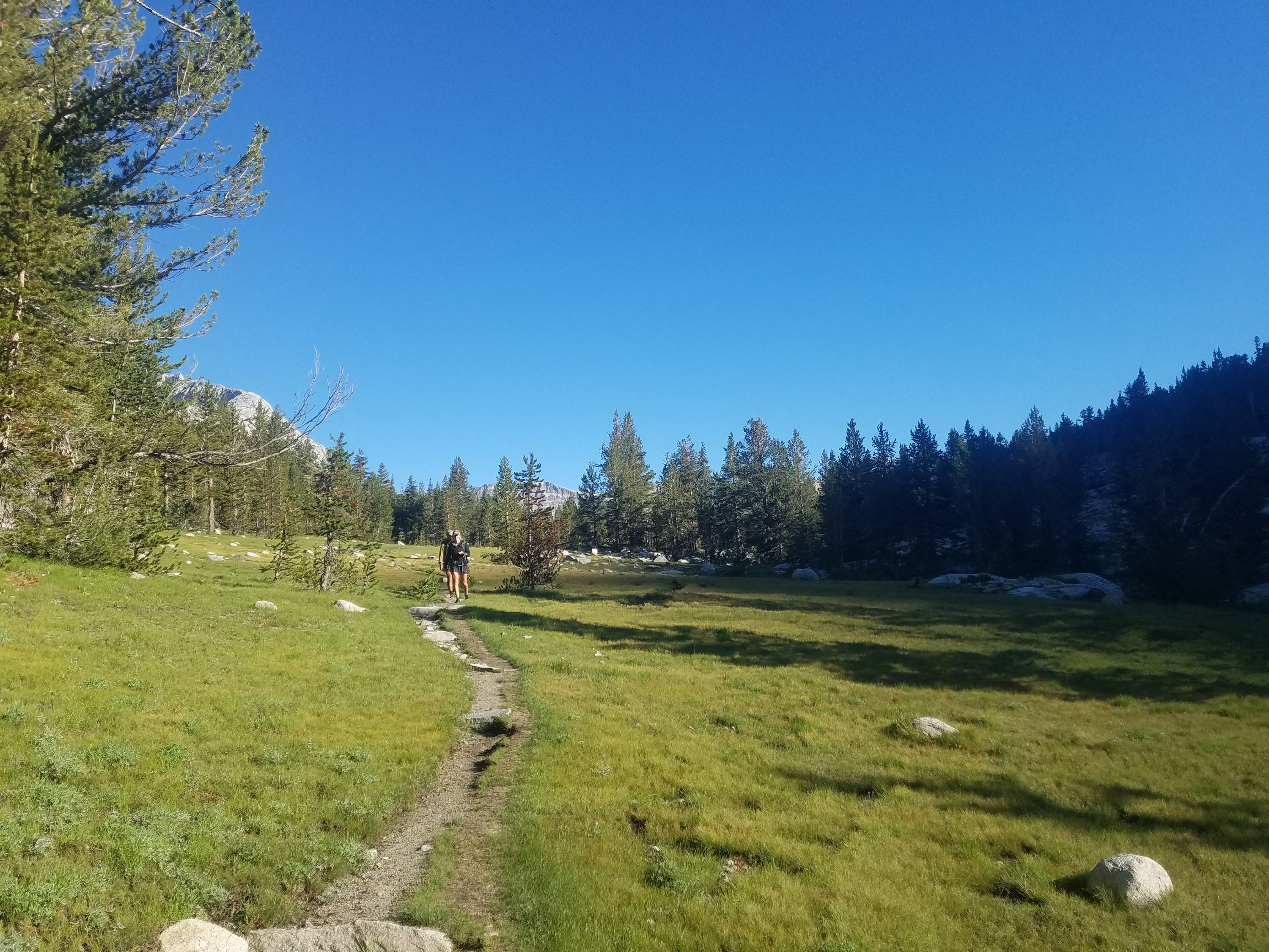
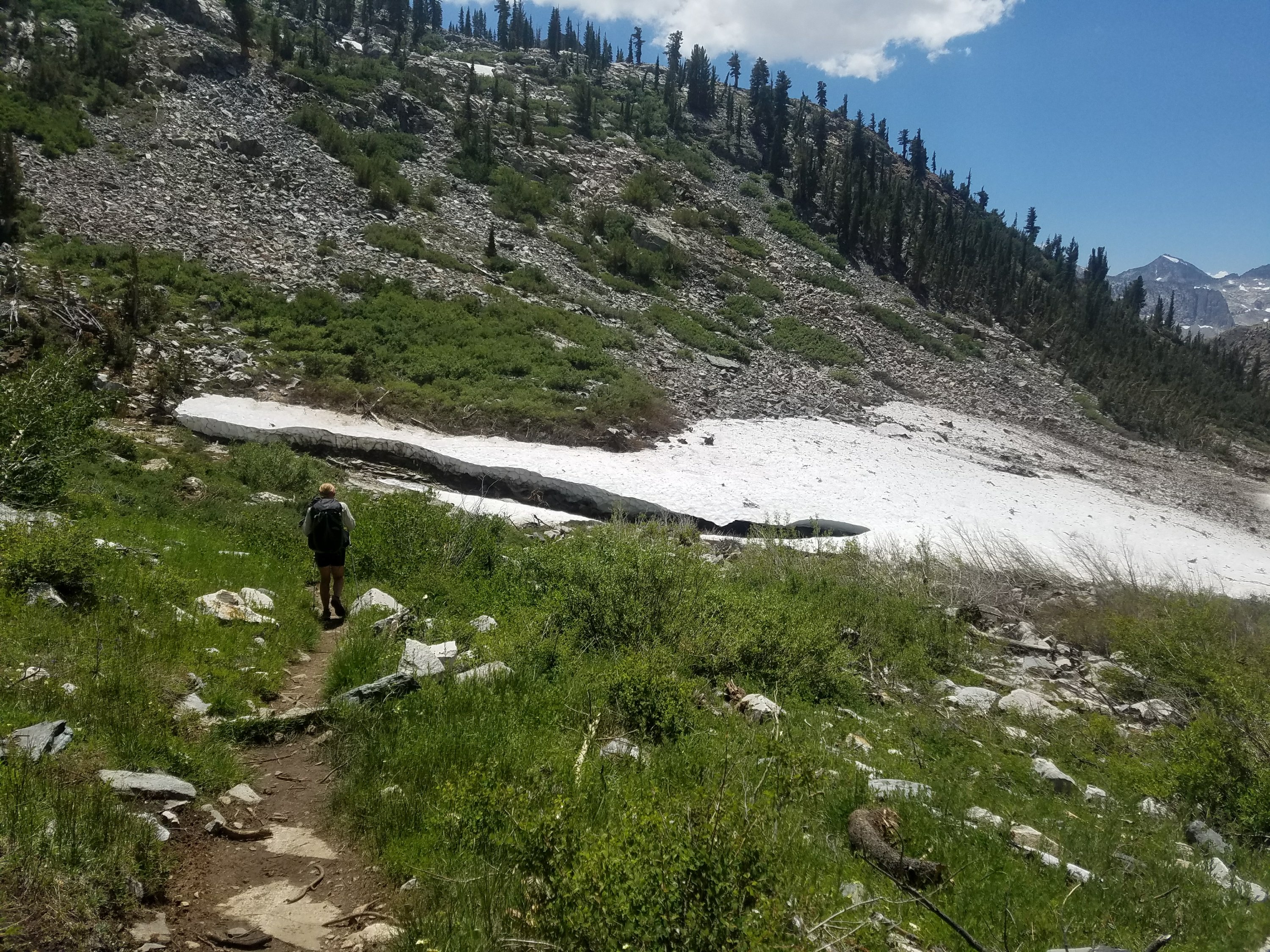
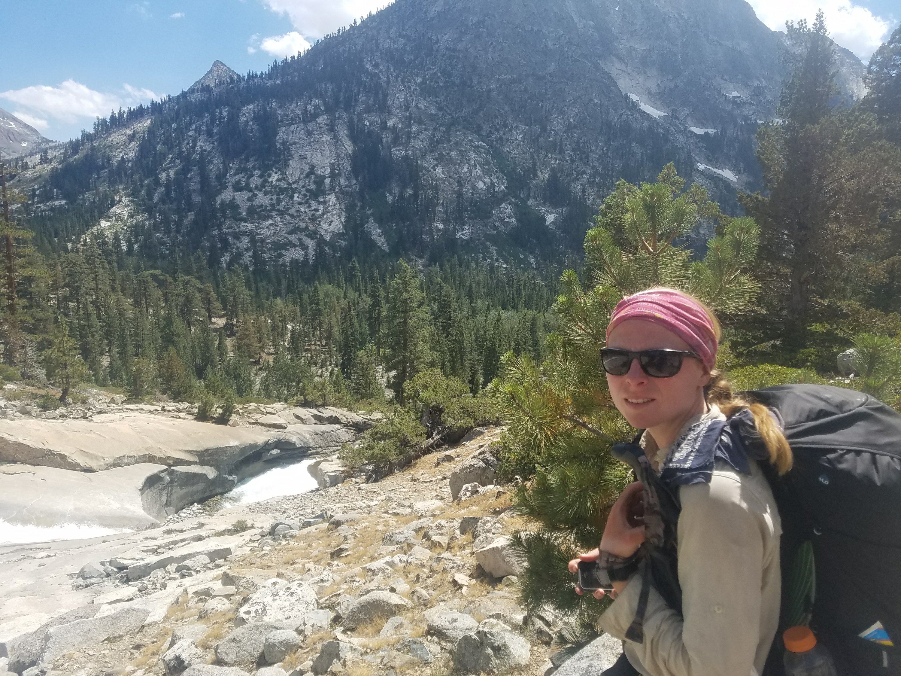
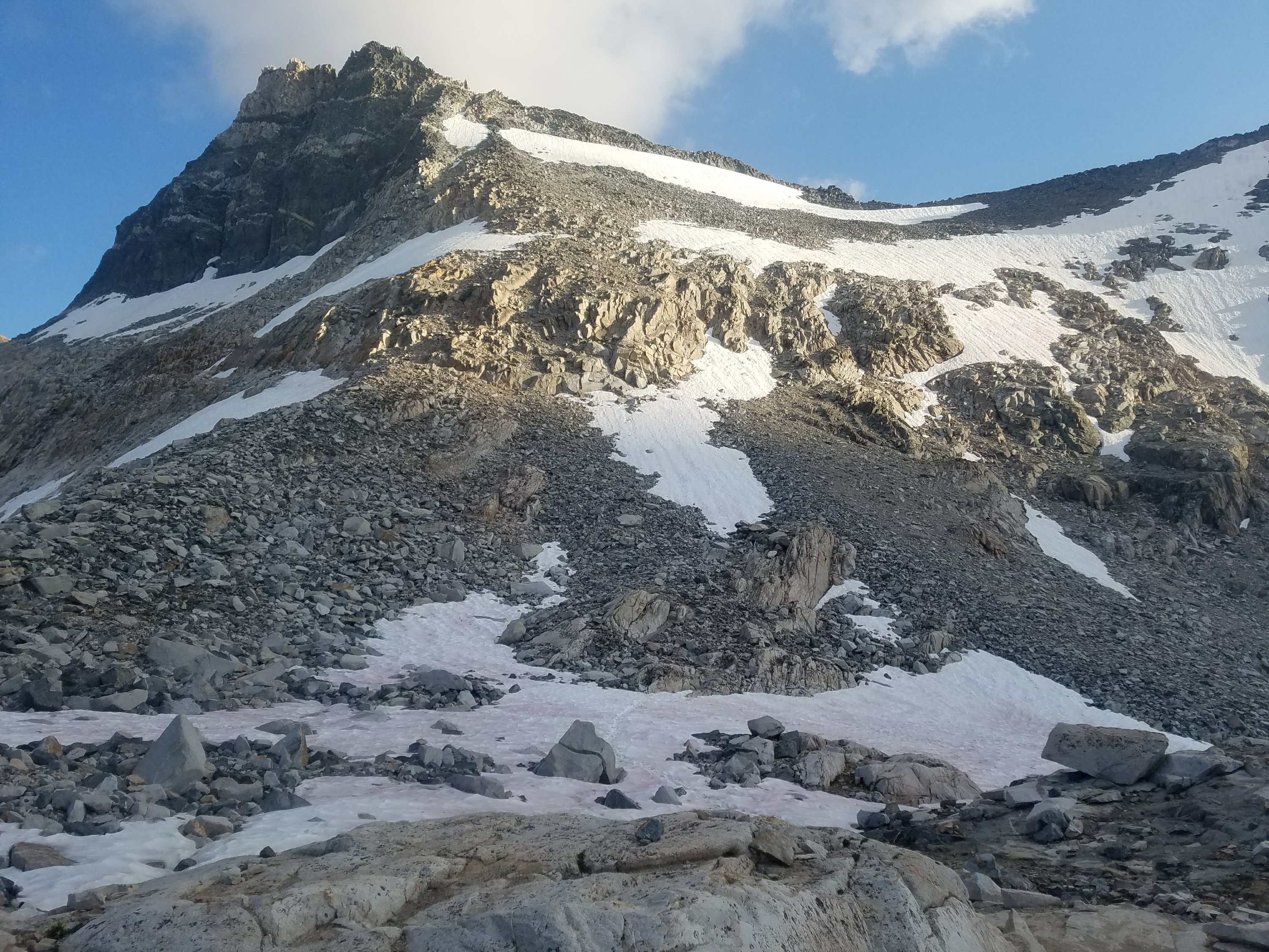
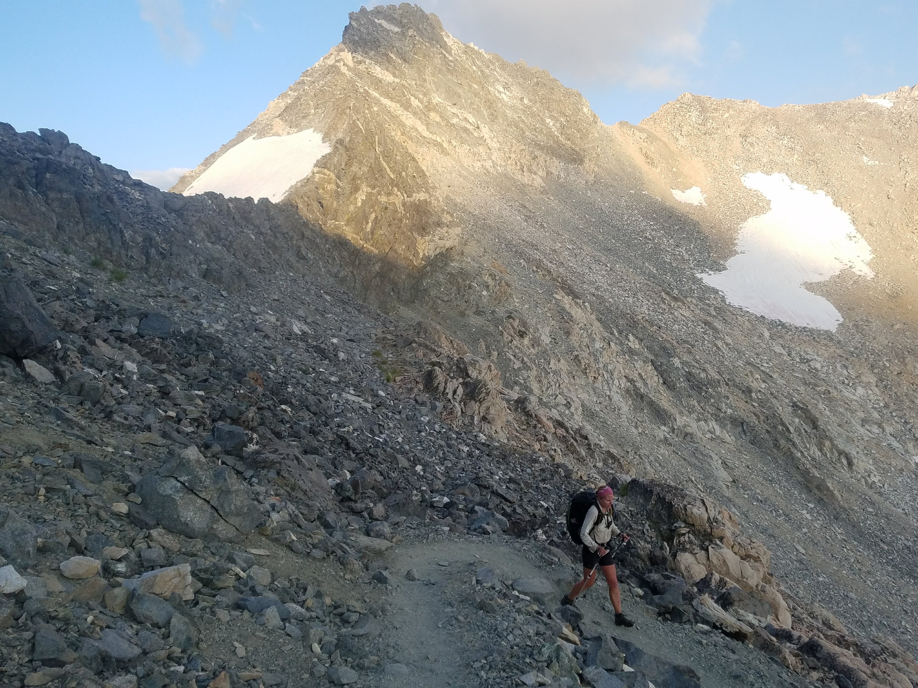
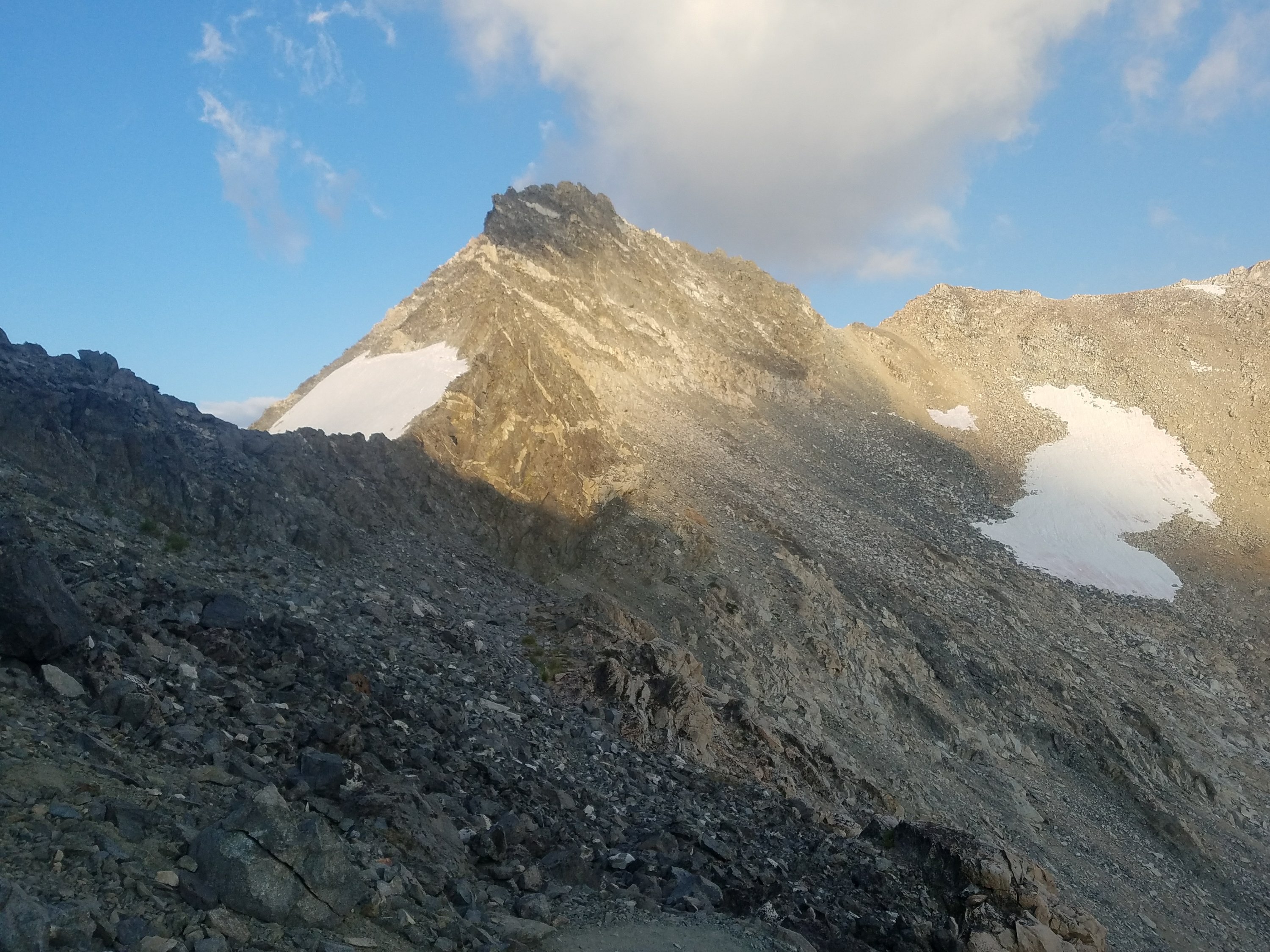
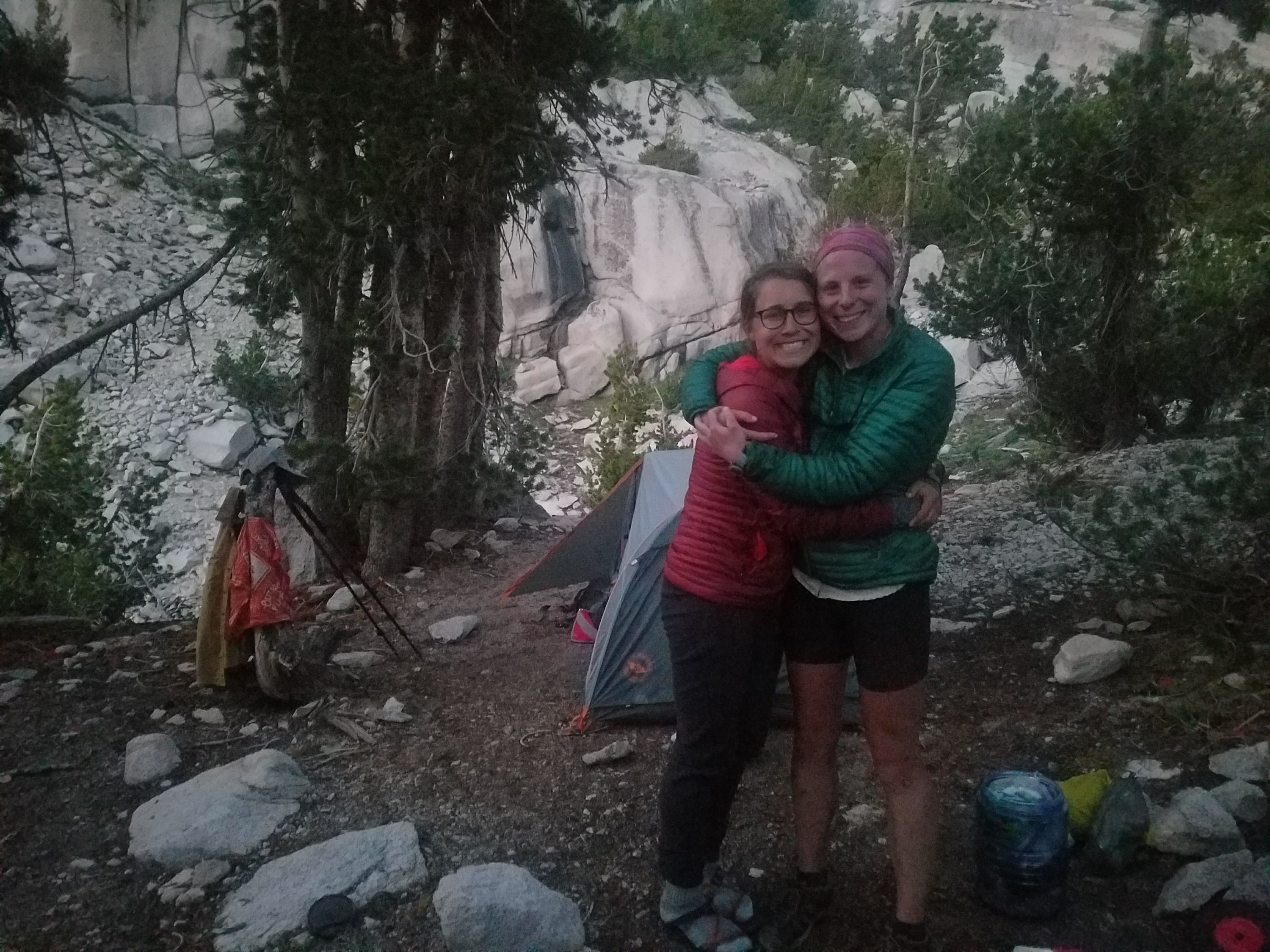
On the other side we took a moment to mend and I apologized for my impatience. We both felt drained but it was the last major crossing we faced. This was one of the hardest moments in the trail and we were relieved that it was over but the mental strain left us very tired as we started a 4 mile climb up Pinchot Pass.

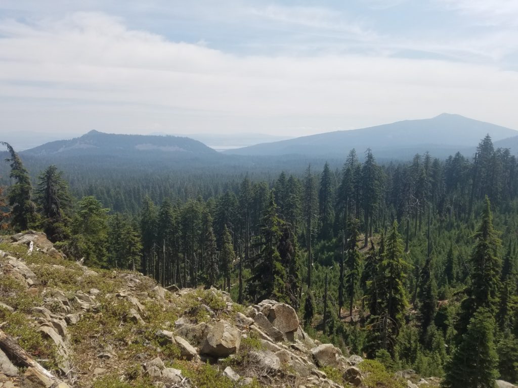
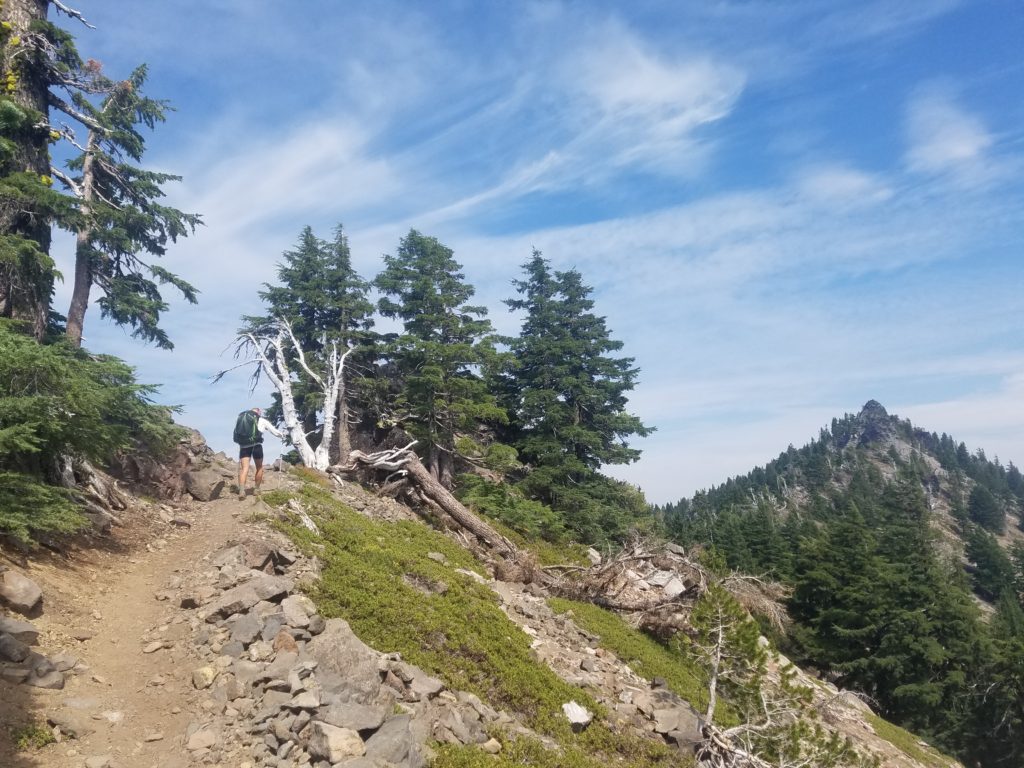
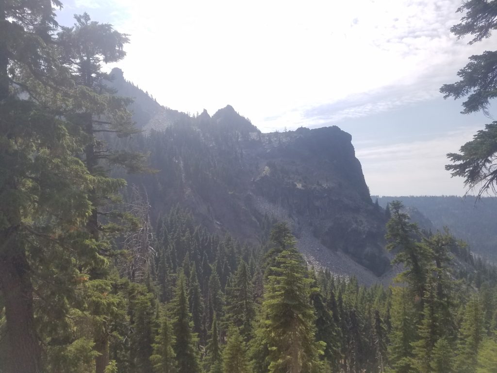
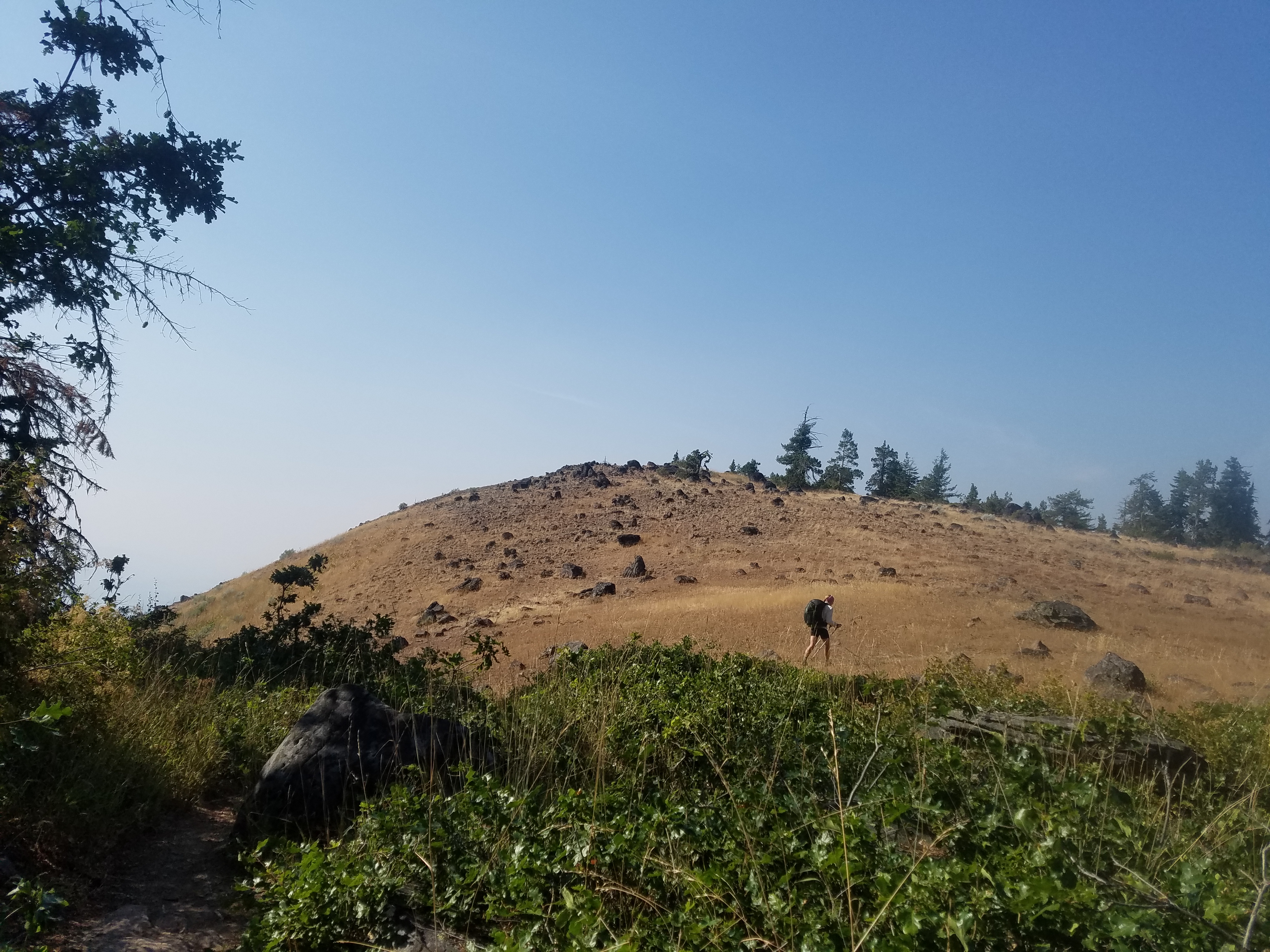
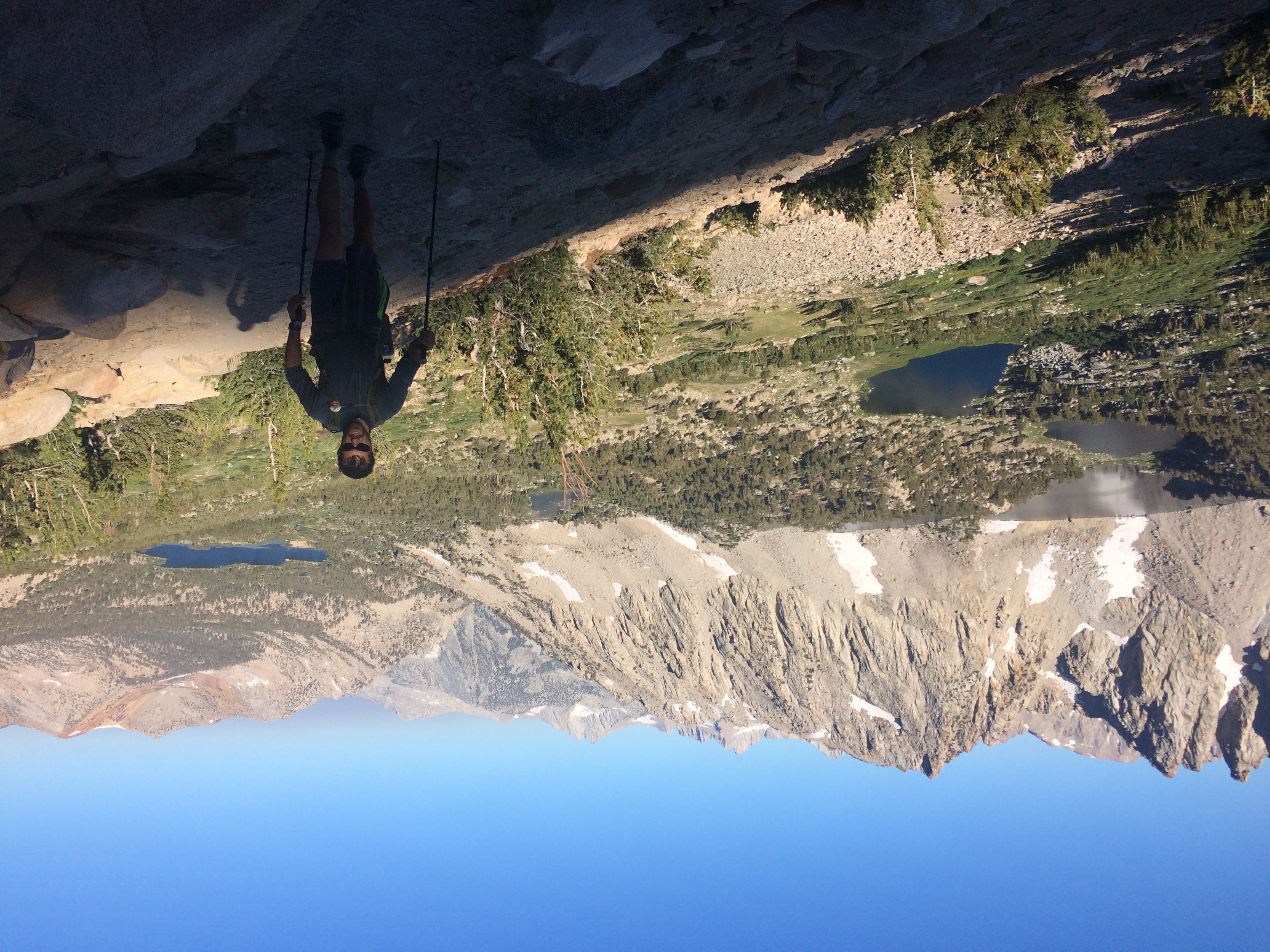
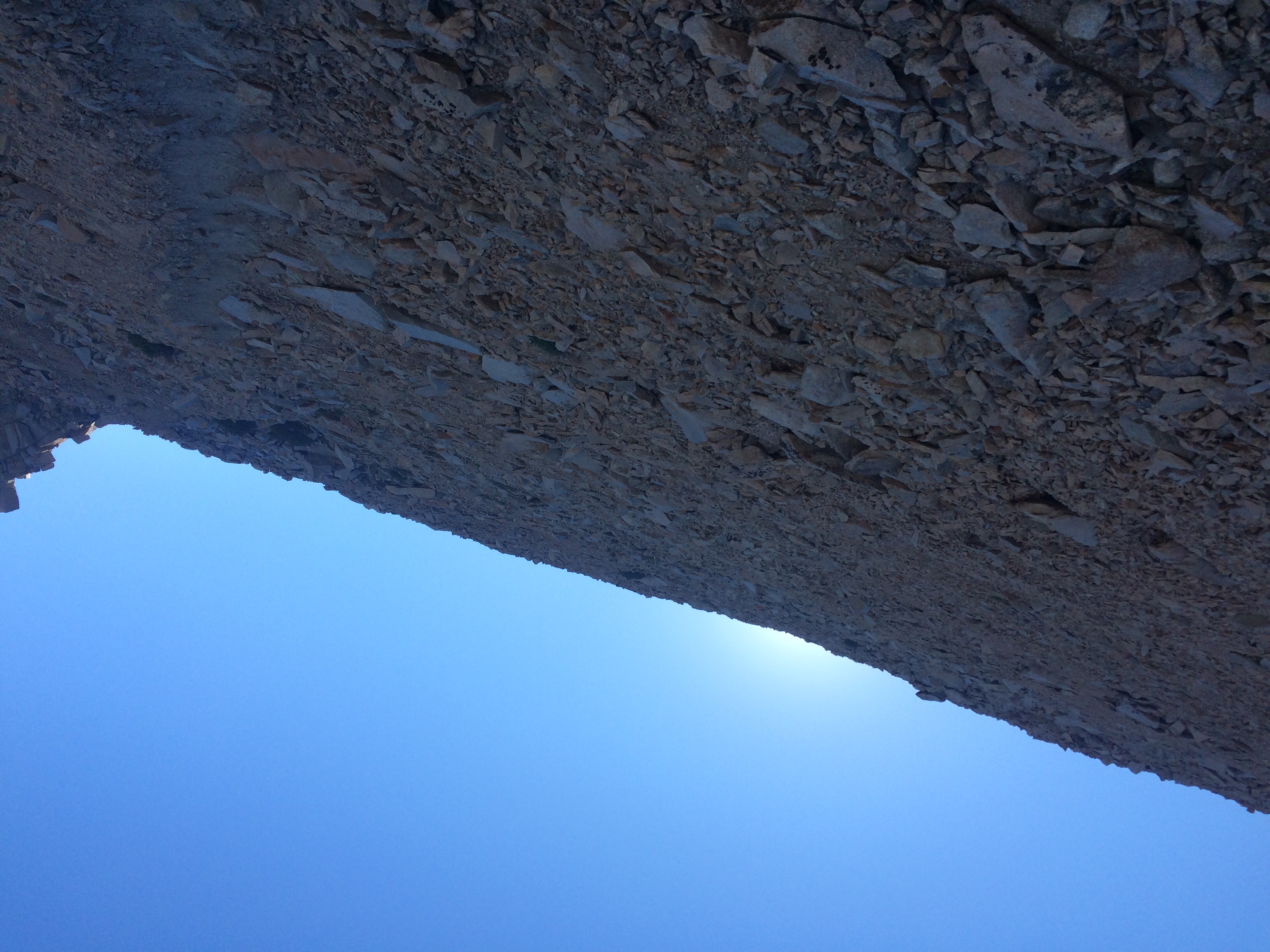
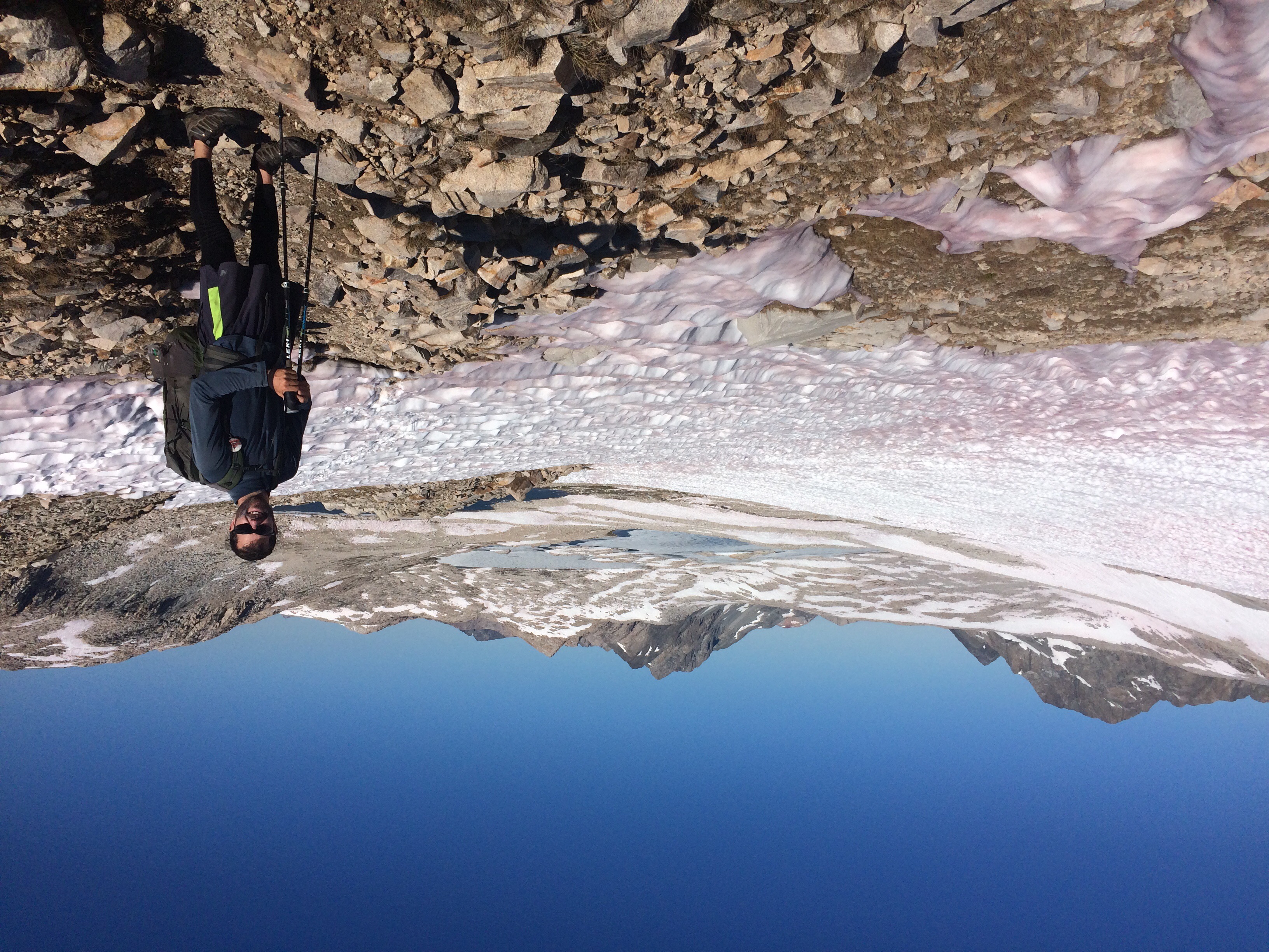
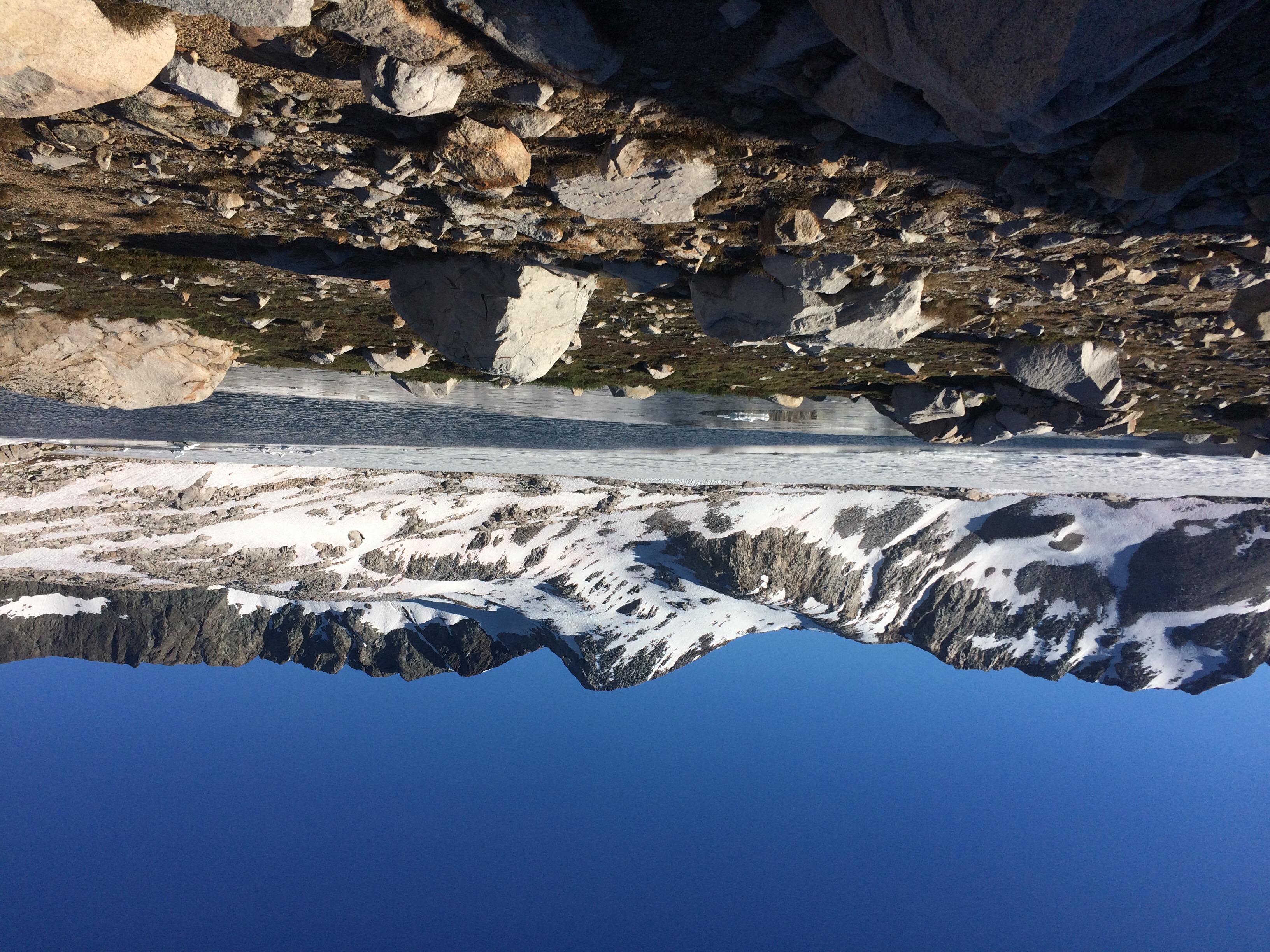
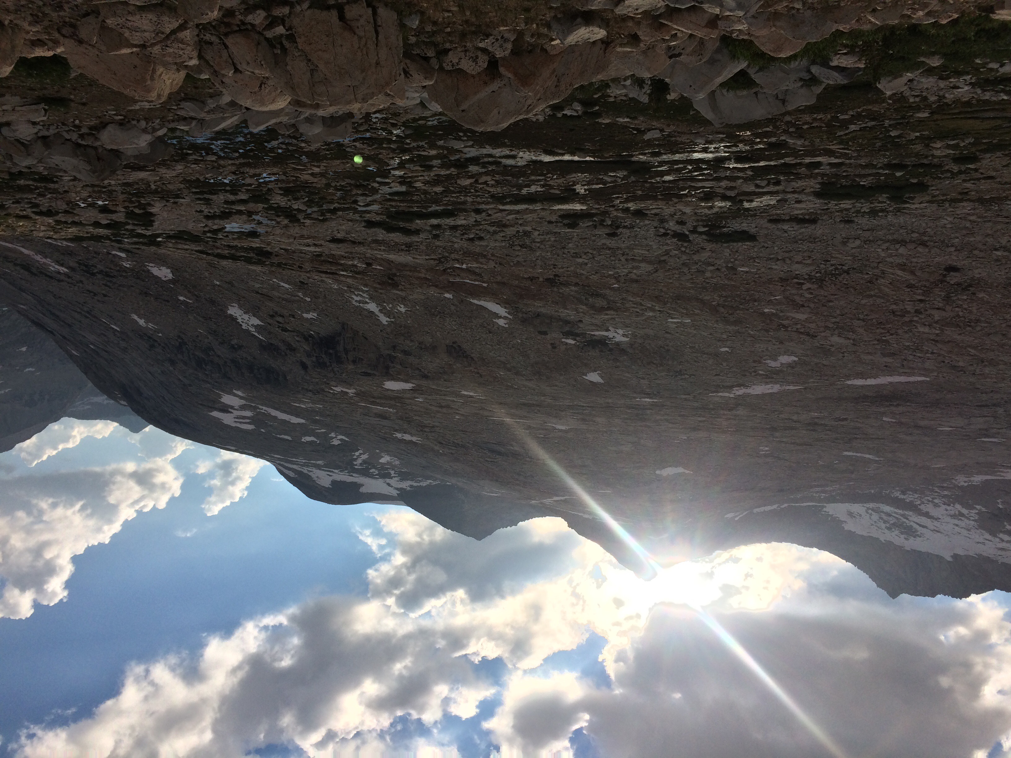
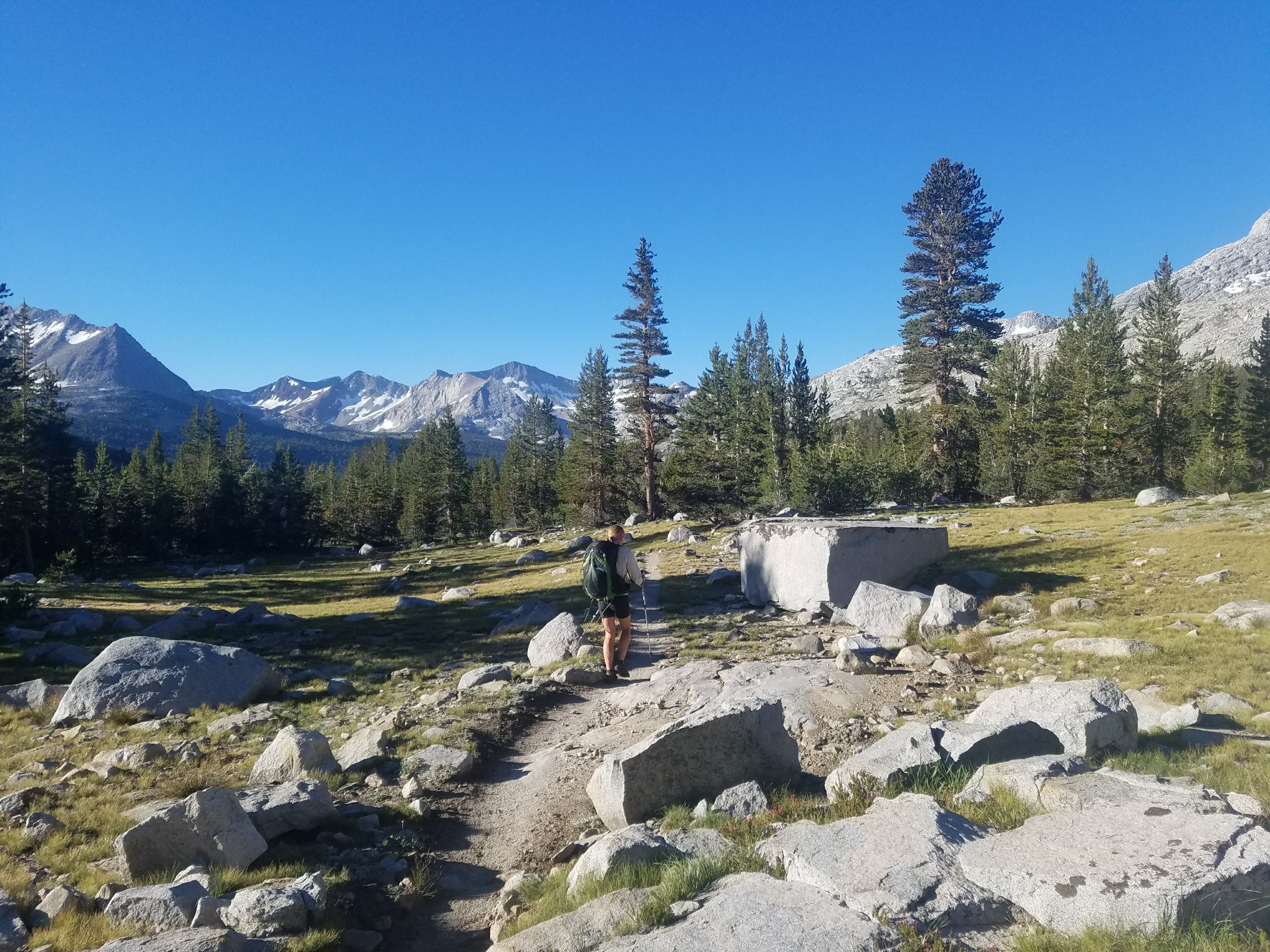
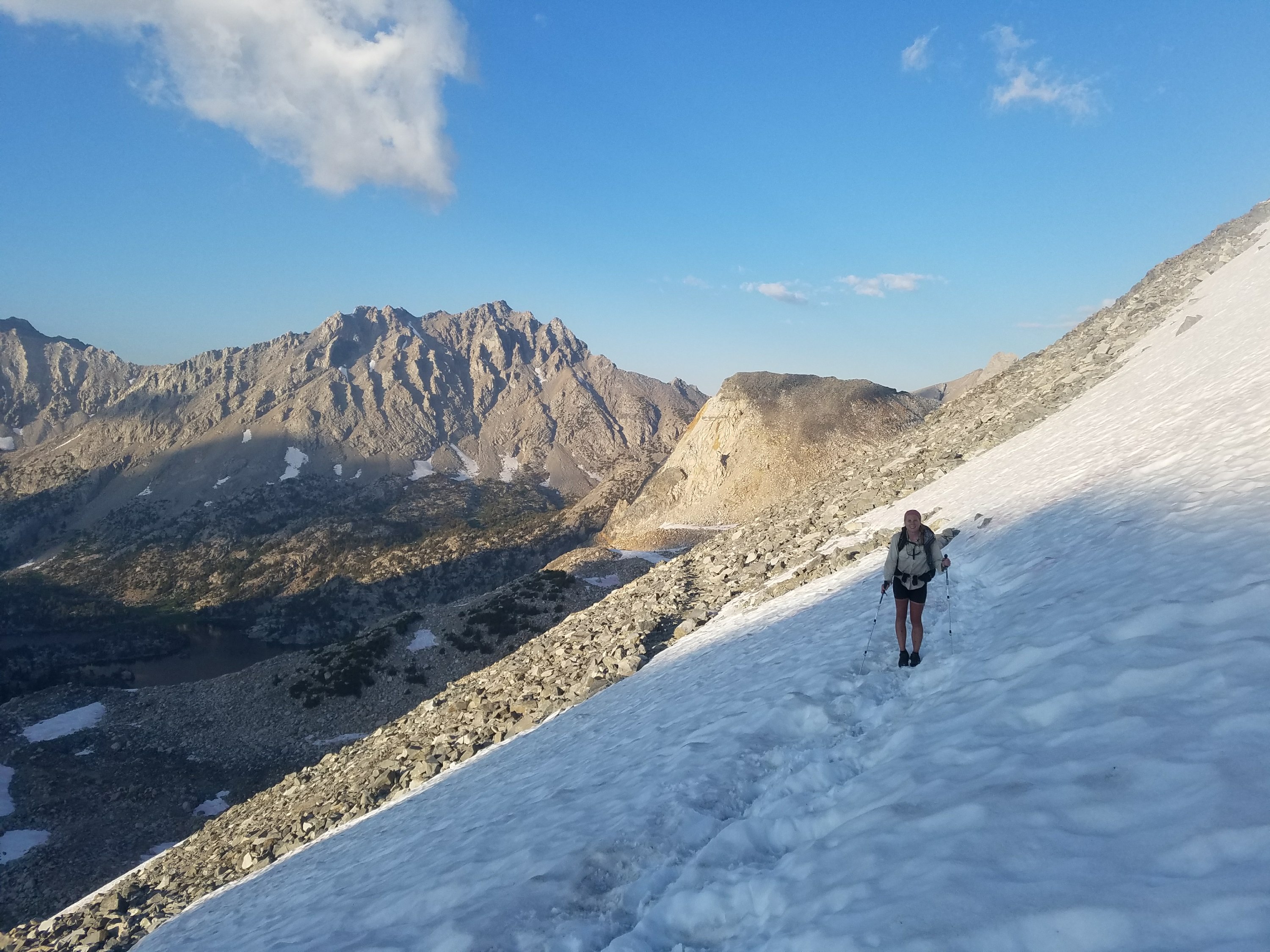
The climb was slow and exhausting though beautiful. We started passing JMT’rs and soon we spotted 2.Toe and Yote ahead at the top of the pass. They called to us and we called back in our typical howl that we like to do to know who it is. We bedraggled ourselves the rest of the way. It was so nice to be at the top because every step felt harder than the last. I can’t imagine how difficult each step on a climb like Everest must be!

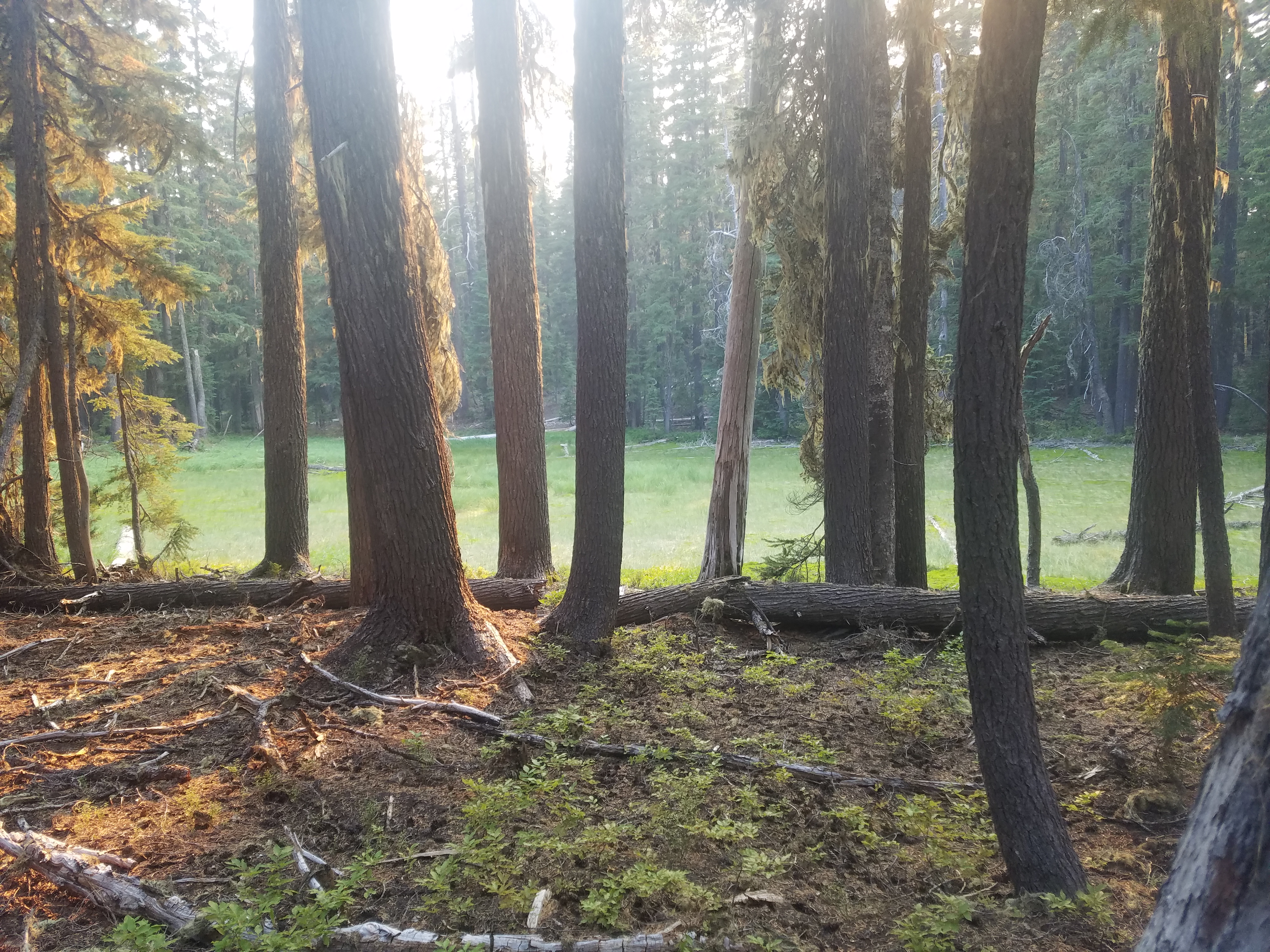
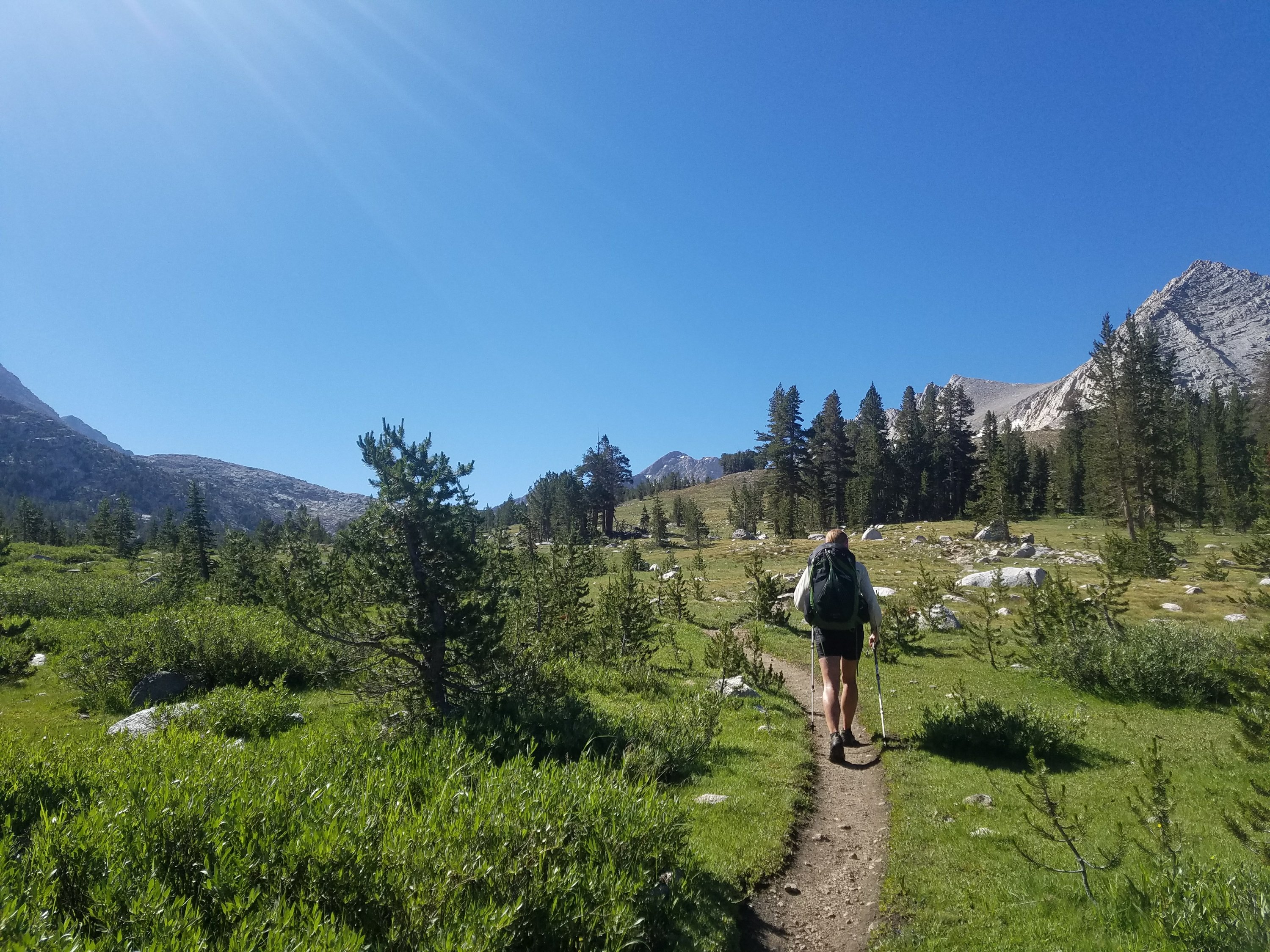
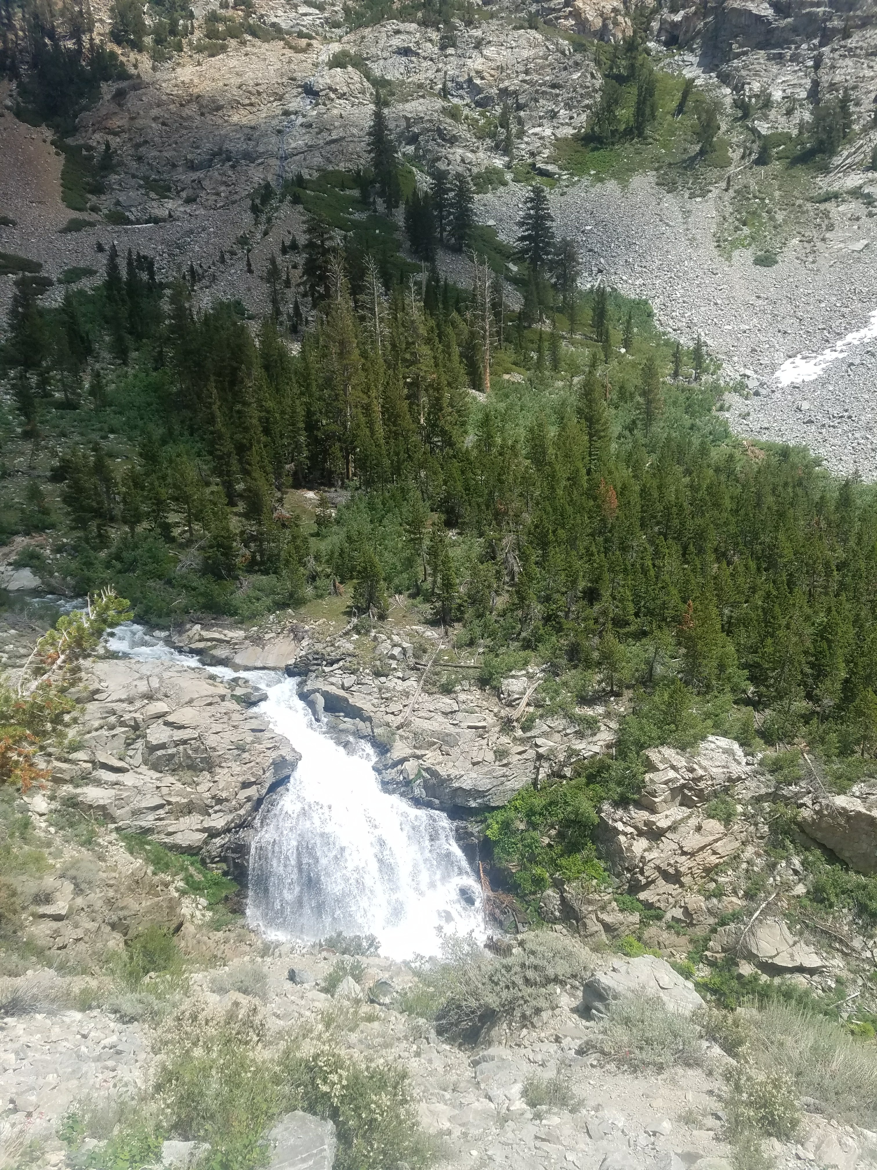
We took a break at the top and started to feel better and more relaxed. We snacked and chatted together. We then picked up our bags and began the 7 mile descent. It was at first pretty gentle but we were spent and it felt tough. We soon found ourselves going down huge stone steps that were very exhausting. We couldn’t wait to reach the bottom.

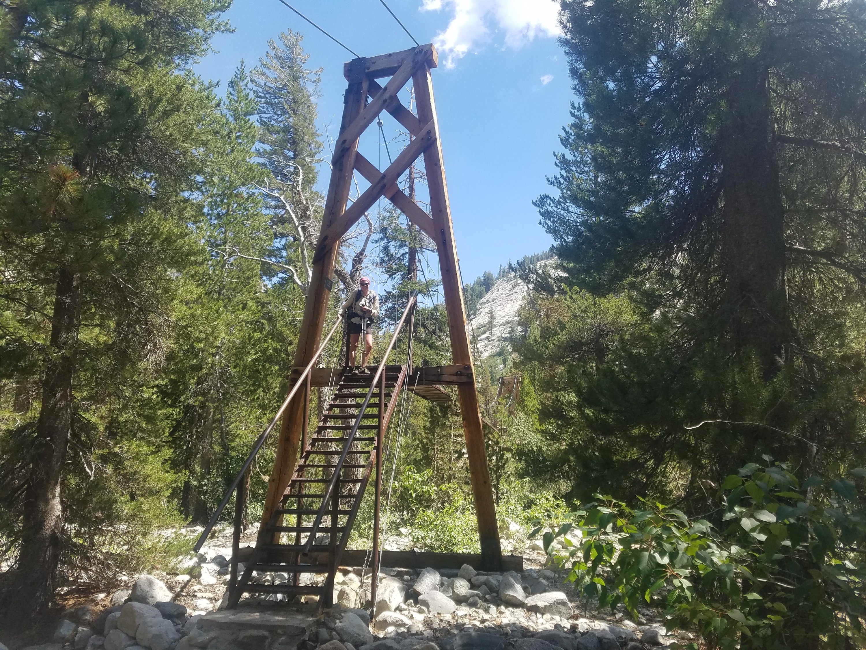
Finally, when we had reached our absolute limit, we were at the bottom and at a beautiful suspension foot bridge. Sherpa was scared and excited so I took her picture and she crossed. I followed and we sat down for lunch.

We were so grateful to be sitting and not walking. It had been a really tough morning. We were going to be sad to leave the beautiful Seirra Nevada but we were tired and ready for a break.

We sat for an hour and Sherpa said if we could leave by 3:15 then there was a good chance she would be willing to go over Glen Pass, which I had been advocating for inspite of being so tired. I didn’t want to do two passes on the way out of town tomorrow but it would be a tough day today.

We both took ibprophine and drank a caffeinated beverage and put our game faces on!

The approach to Glen happened to be pretty mild and our day was turning around. We started chatting and feeling good. The miles and JMT’rs flew by. I got in trouble for making the Jaws sound track melody every time we spotted a slow JMT’r ahead. But it was fun getting in trouble and passing hikers as if they were standing still.

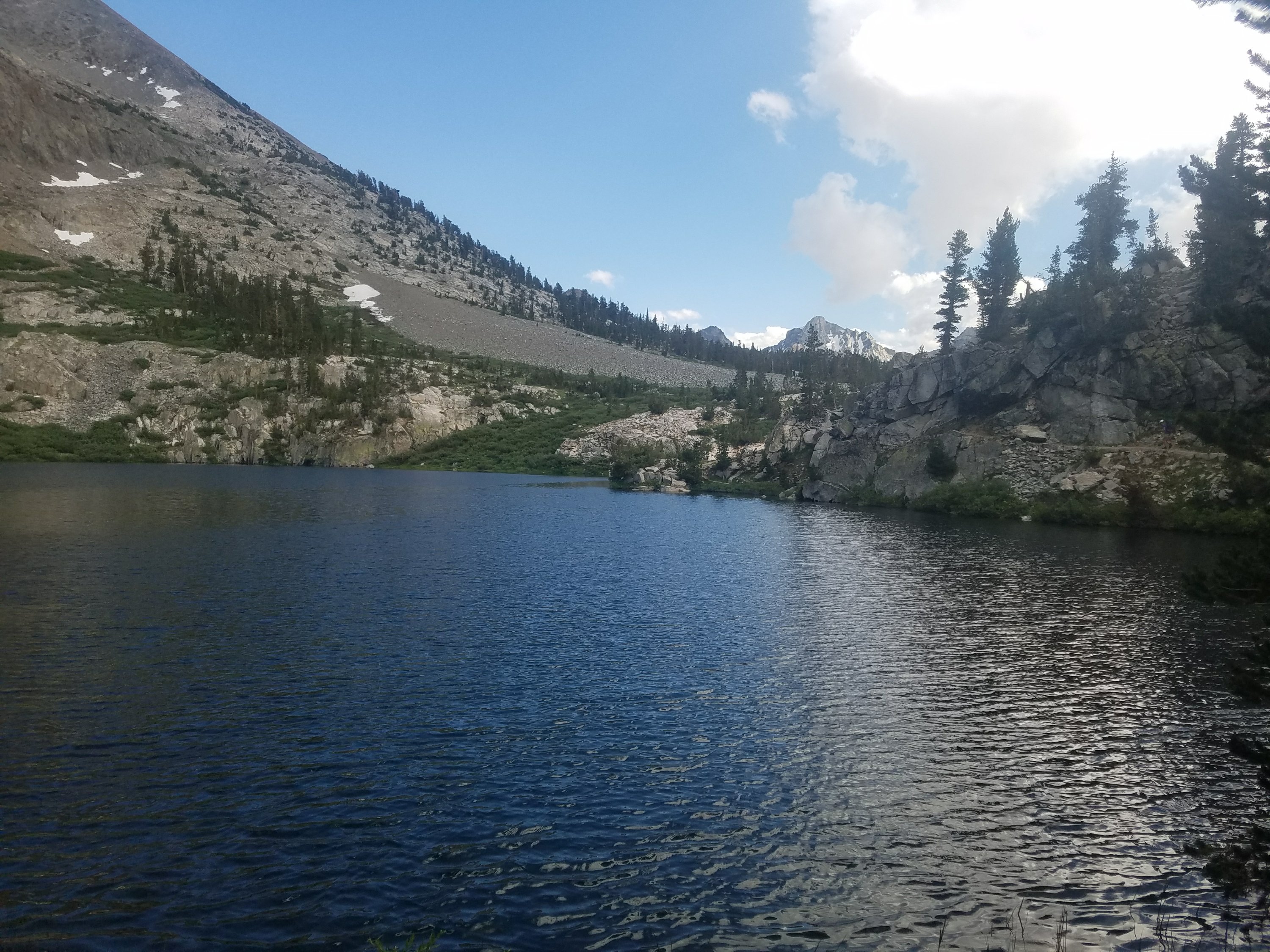
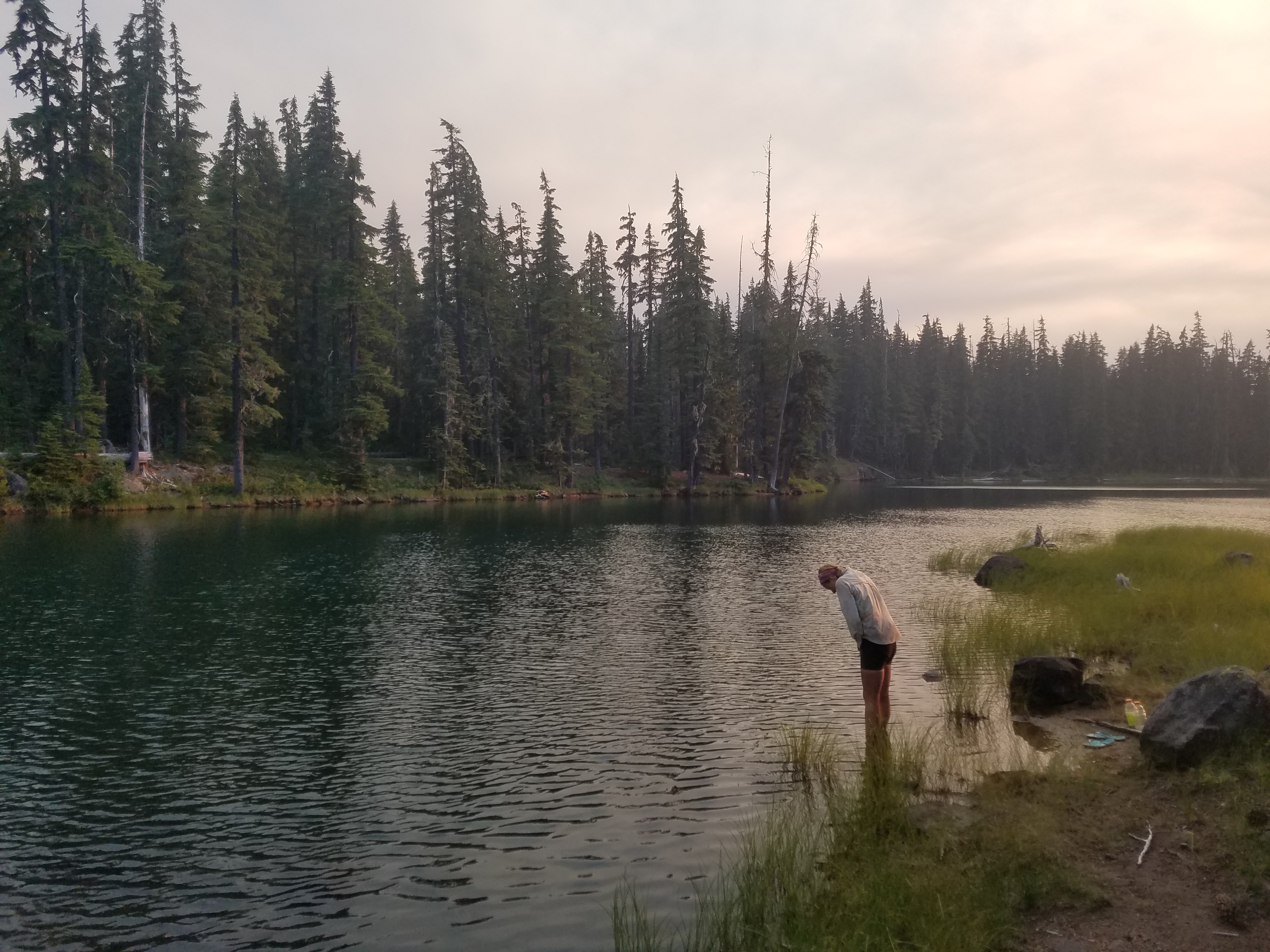
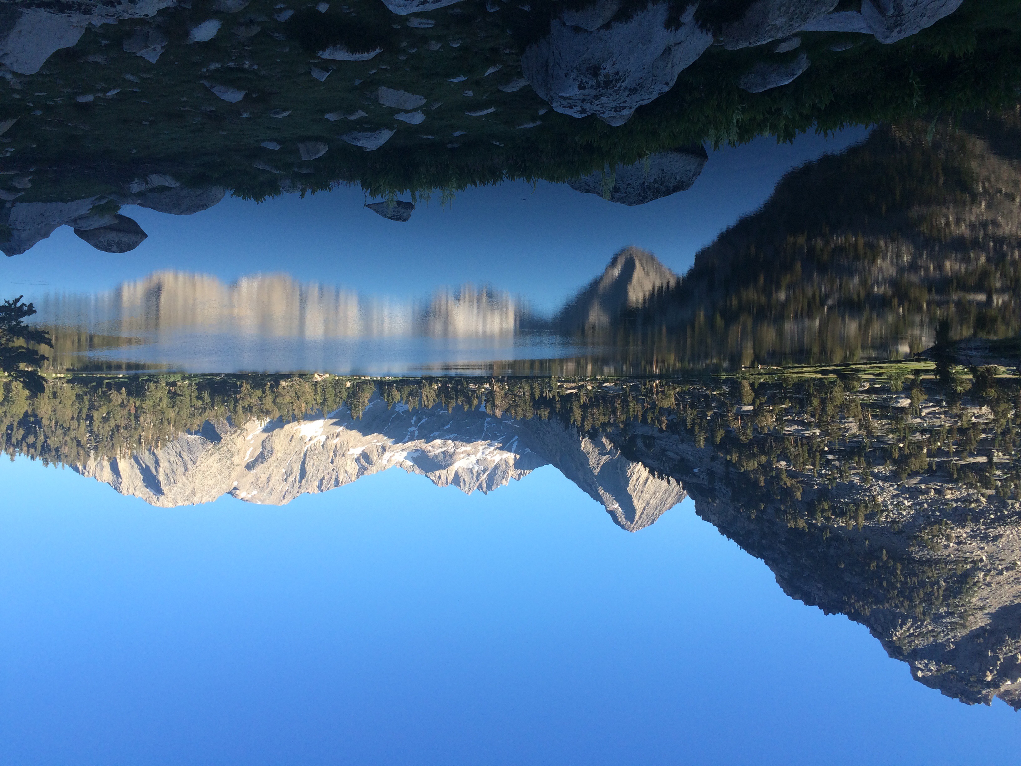
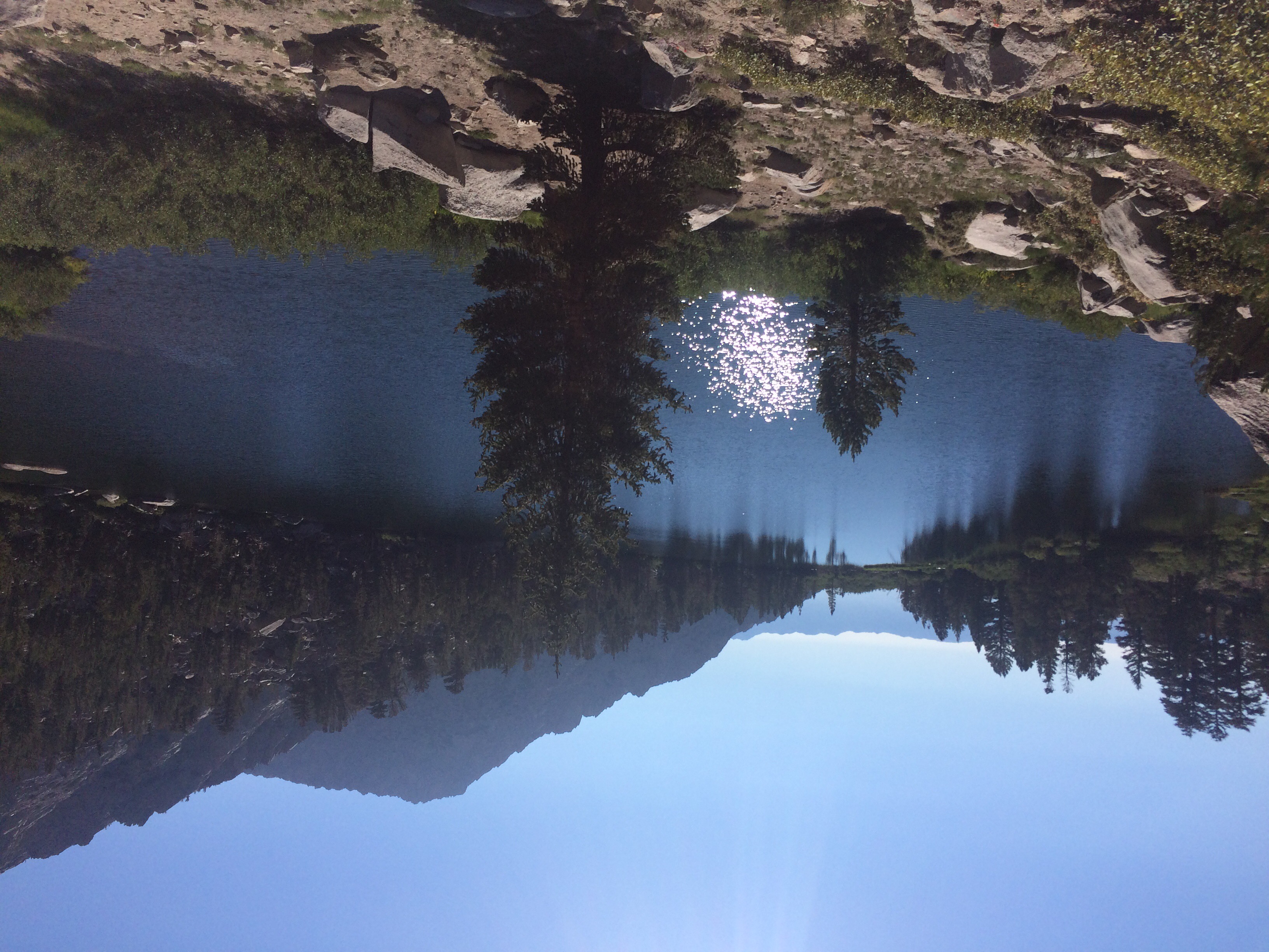
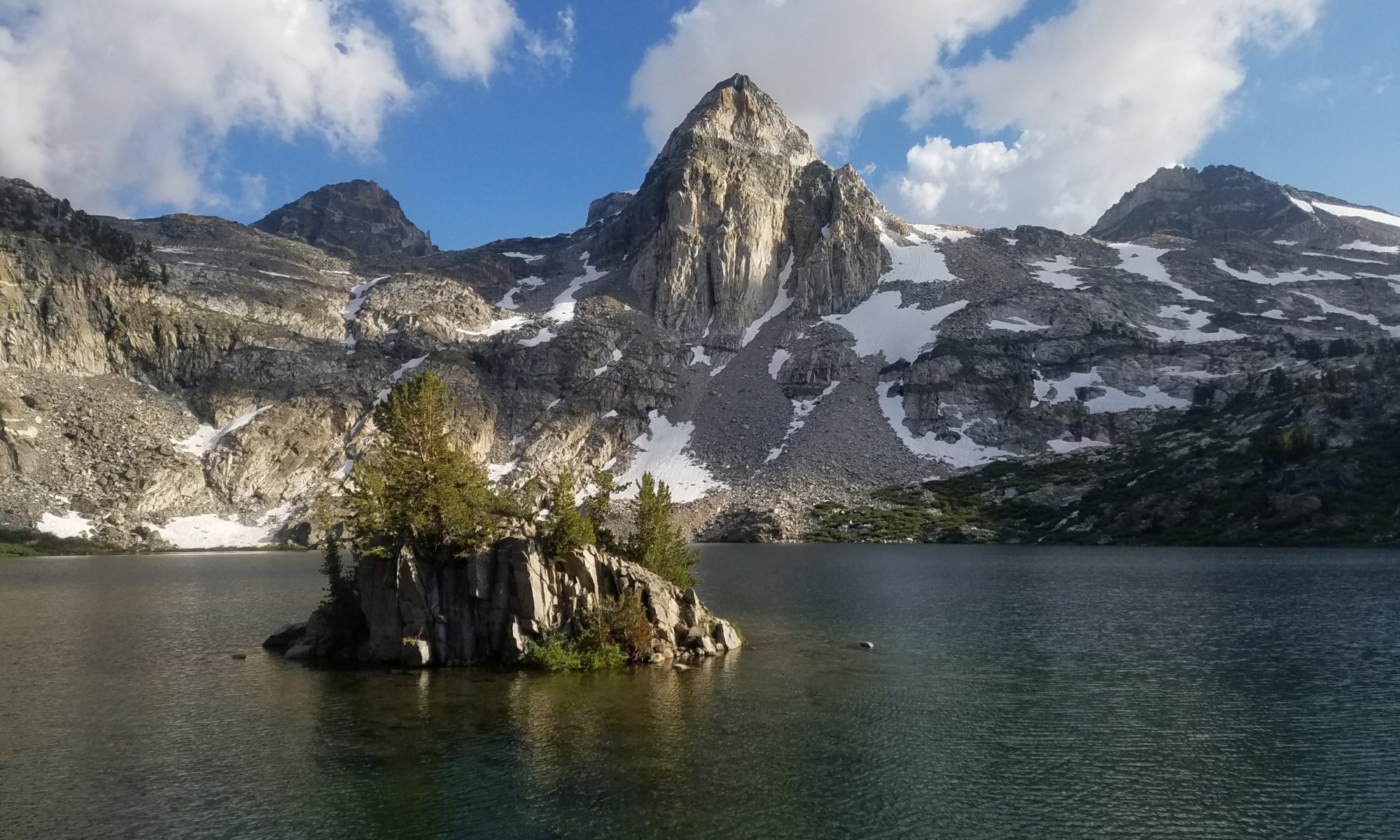
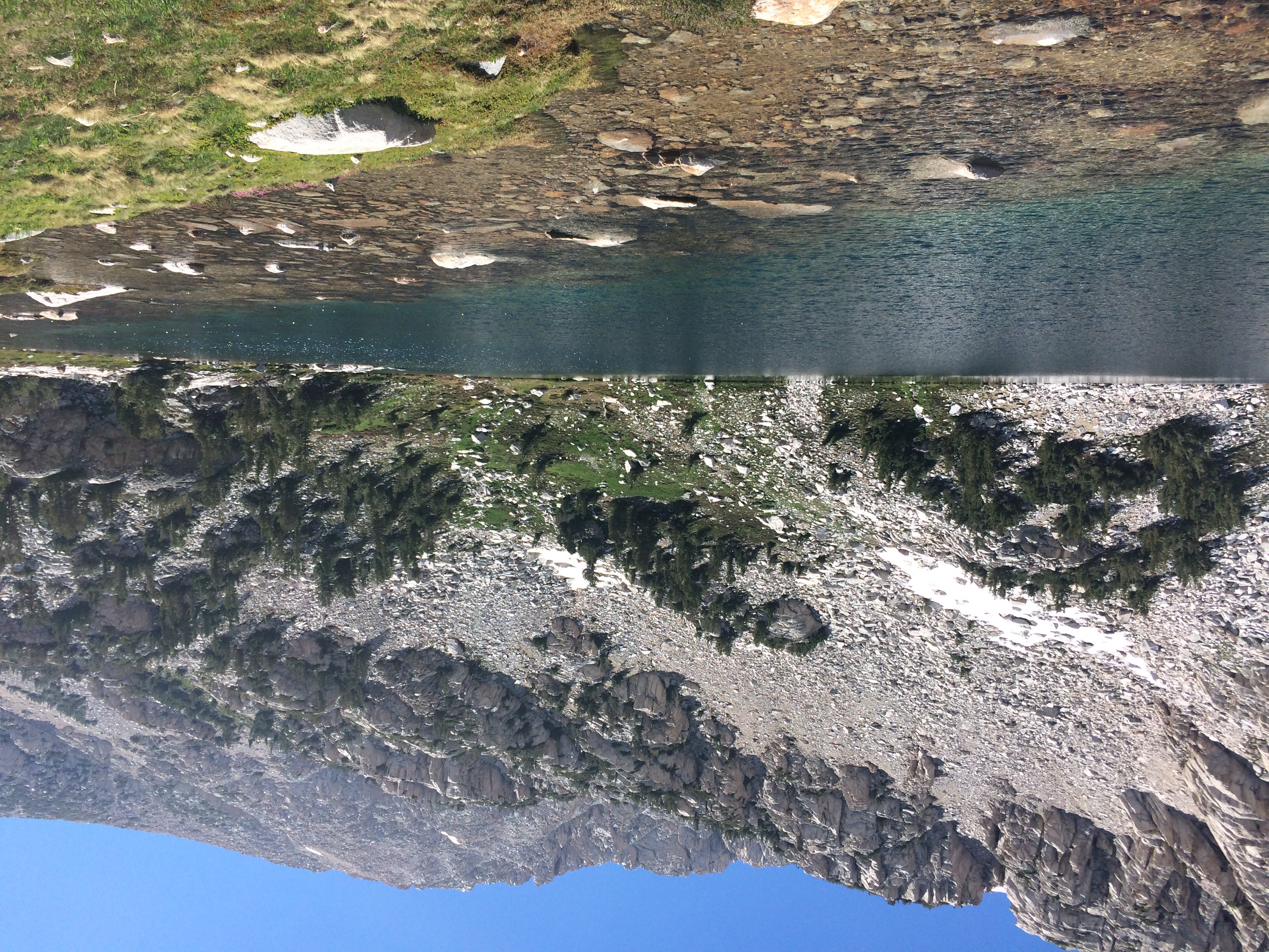
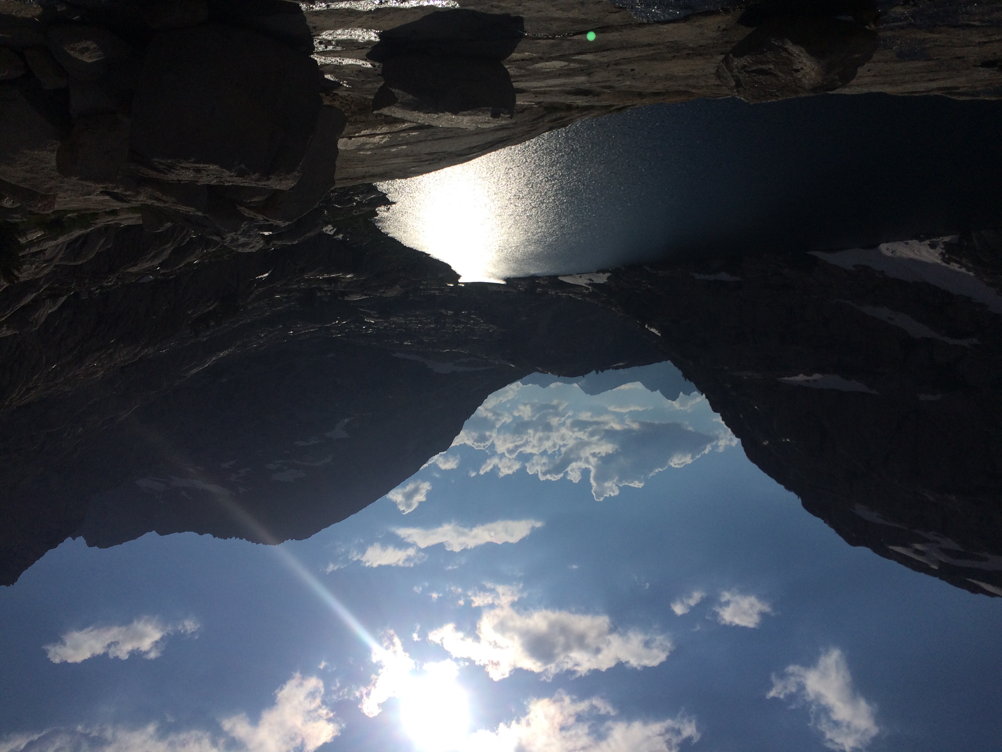
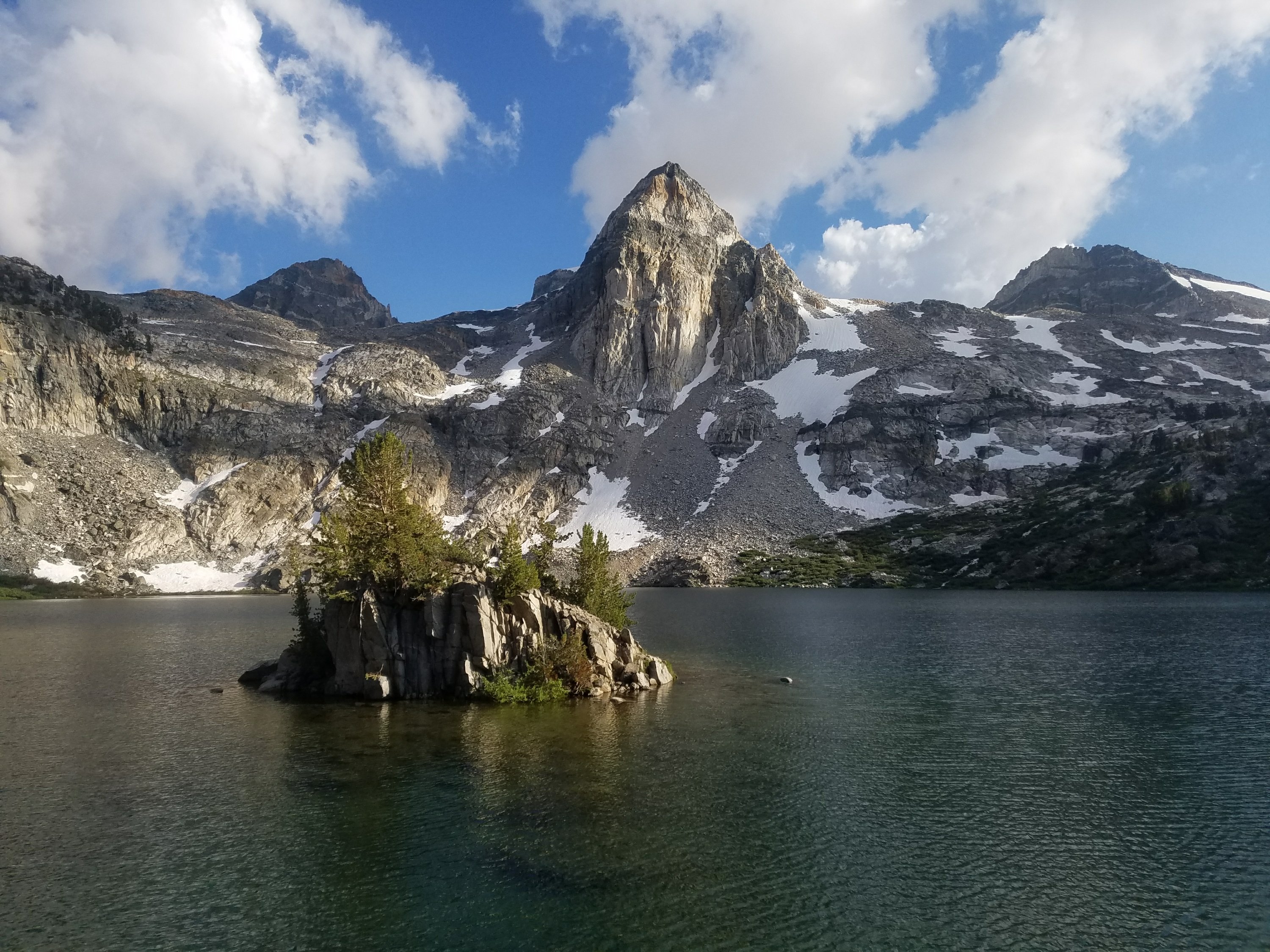
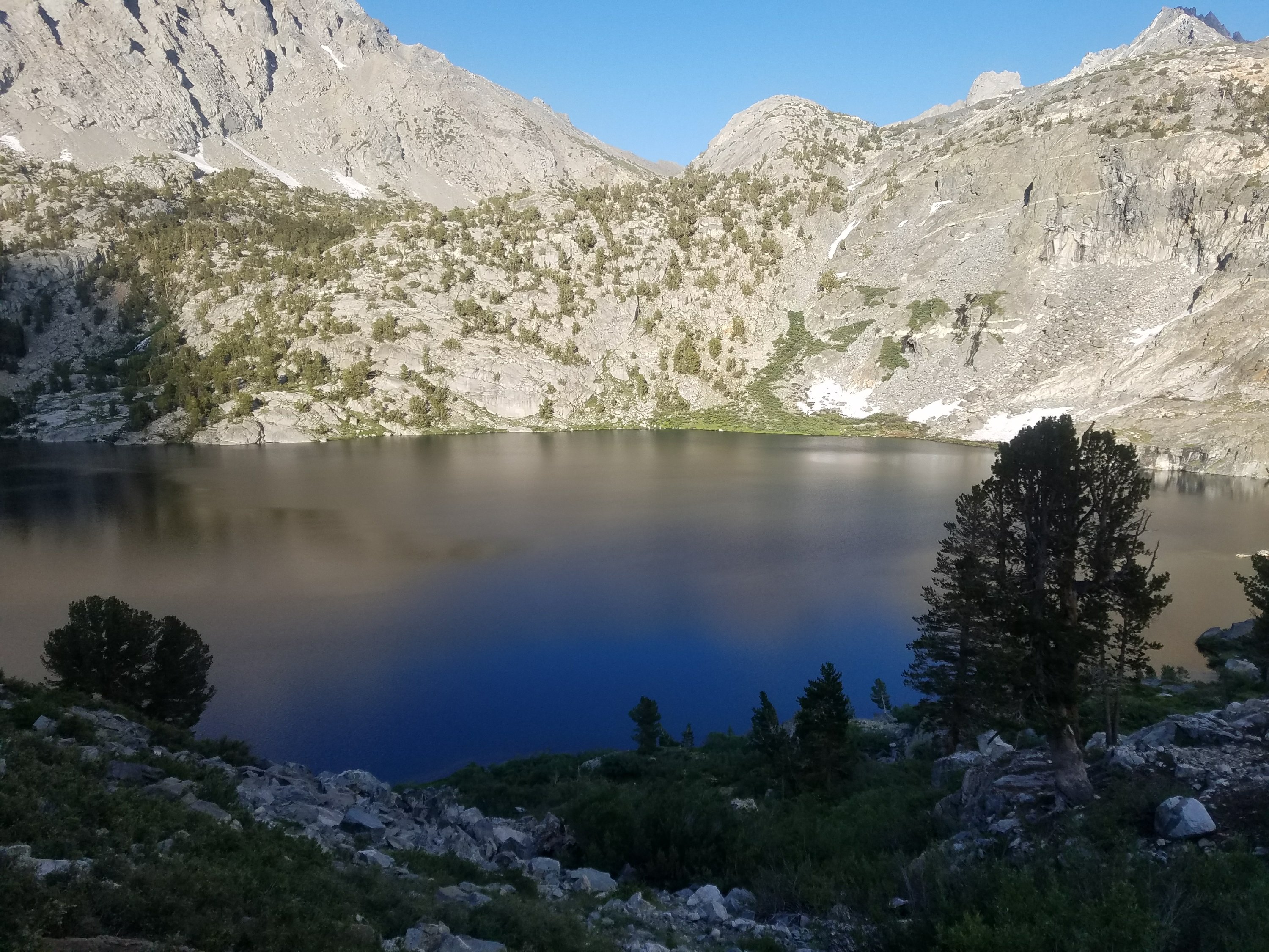
Soon we reached Rae Lake and it was so beautiful. Along with all the drama of the day we were also excited because we were hopeful that we would cross paths with Carly, Sherpa’s good friend, who was hiking the JMT. Sherpa said she was going to cry when she saw her because she was so excited and proud of her. We were creepily looking at every hiker trying to see if it was Carly but no luck thus far.

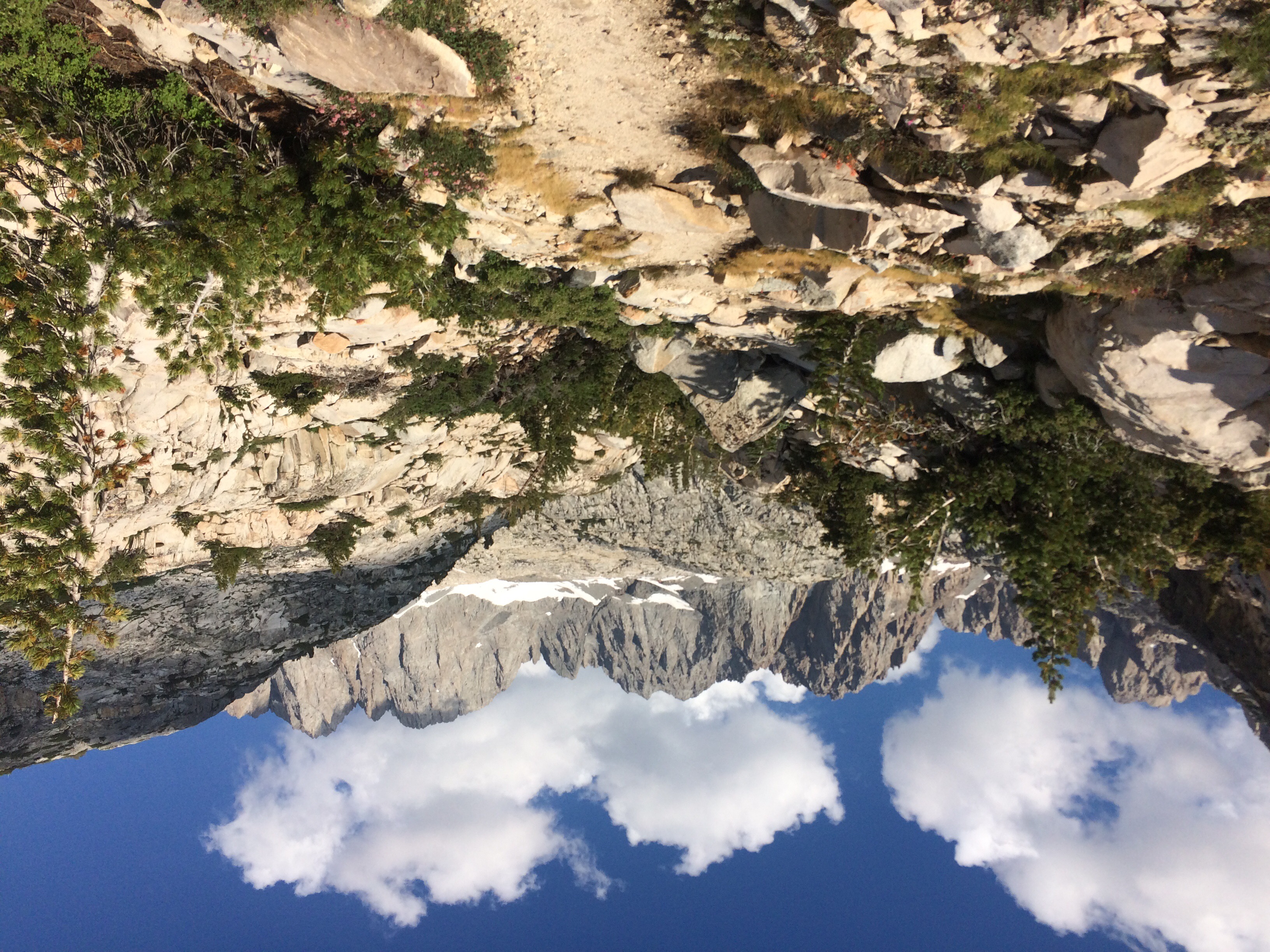
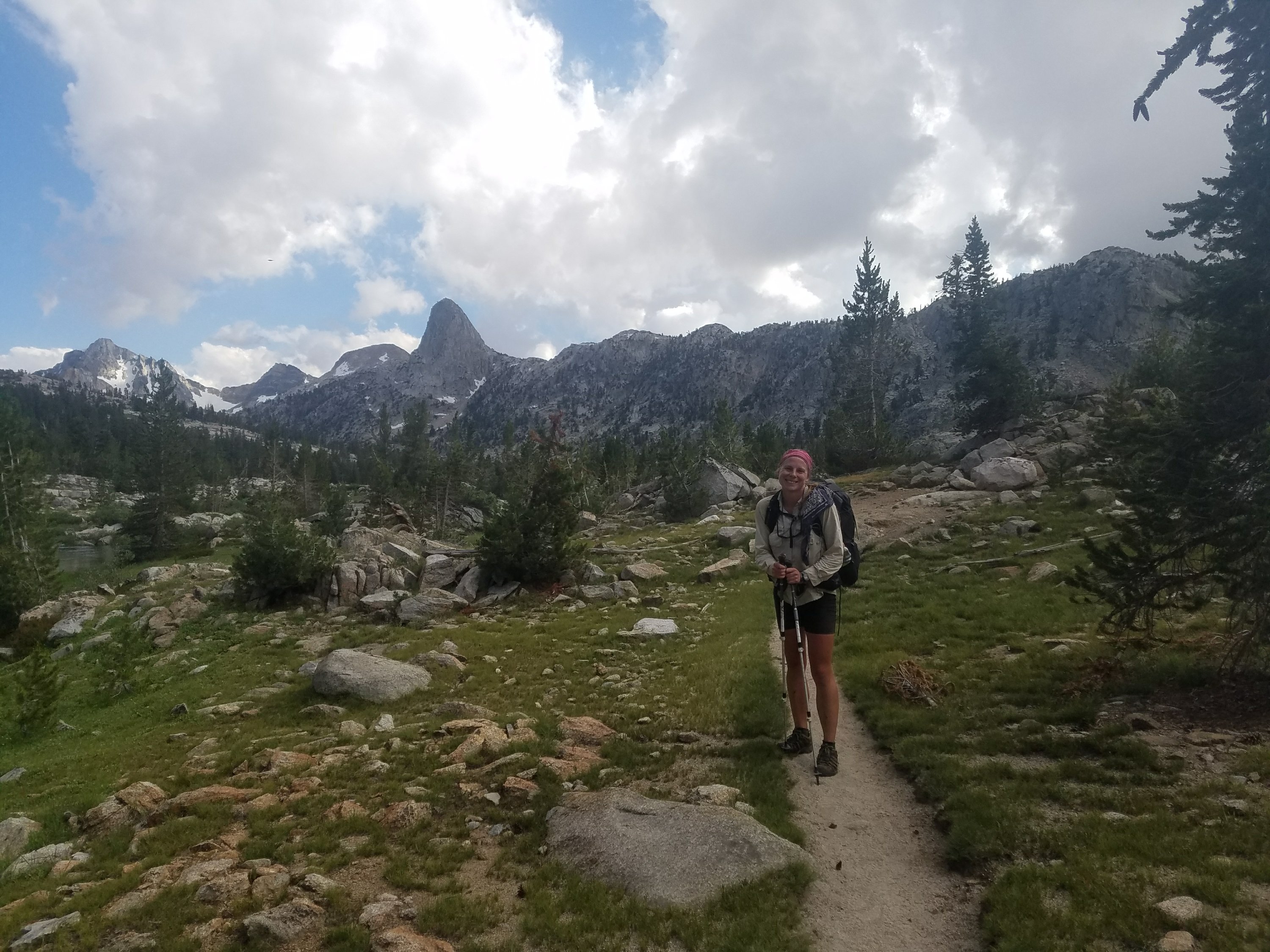
Sherpa graciously agreed to leave this pristine campsite next to a unbelievably beautiful lake. So we started the last push to the top of Glen Pass.

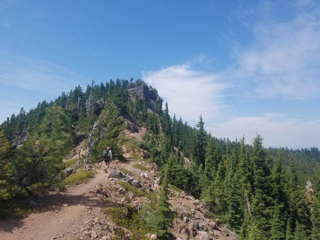
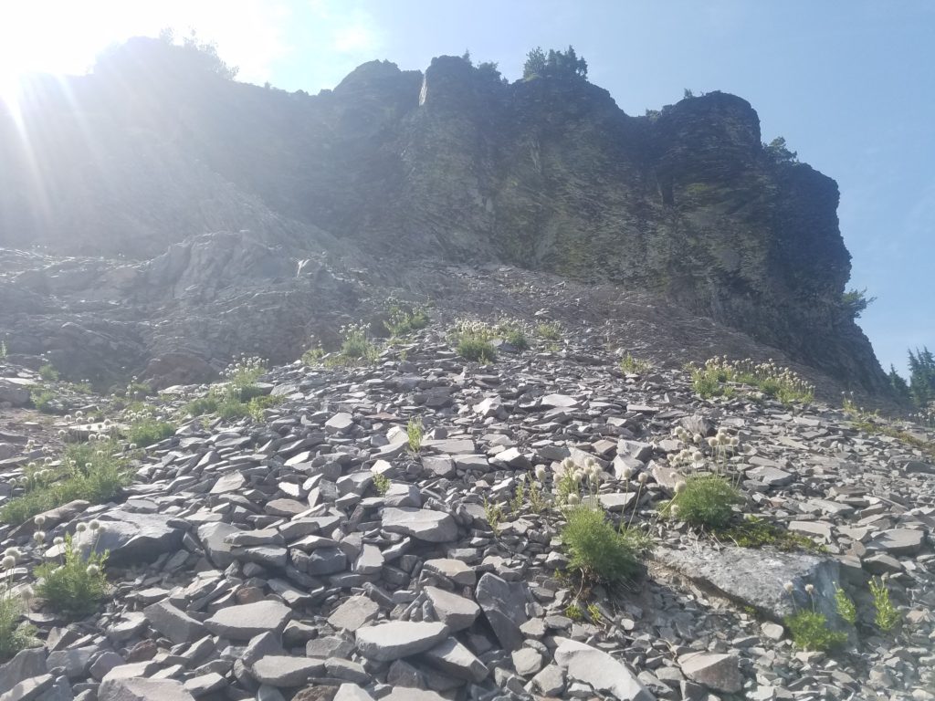
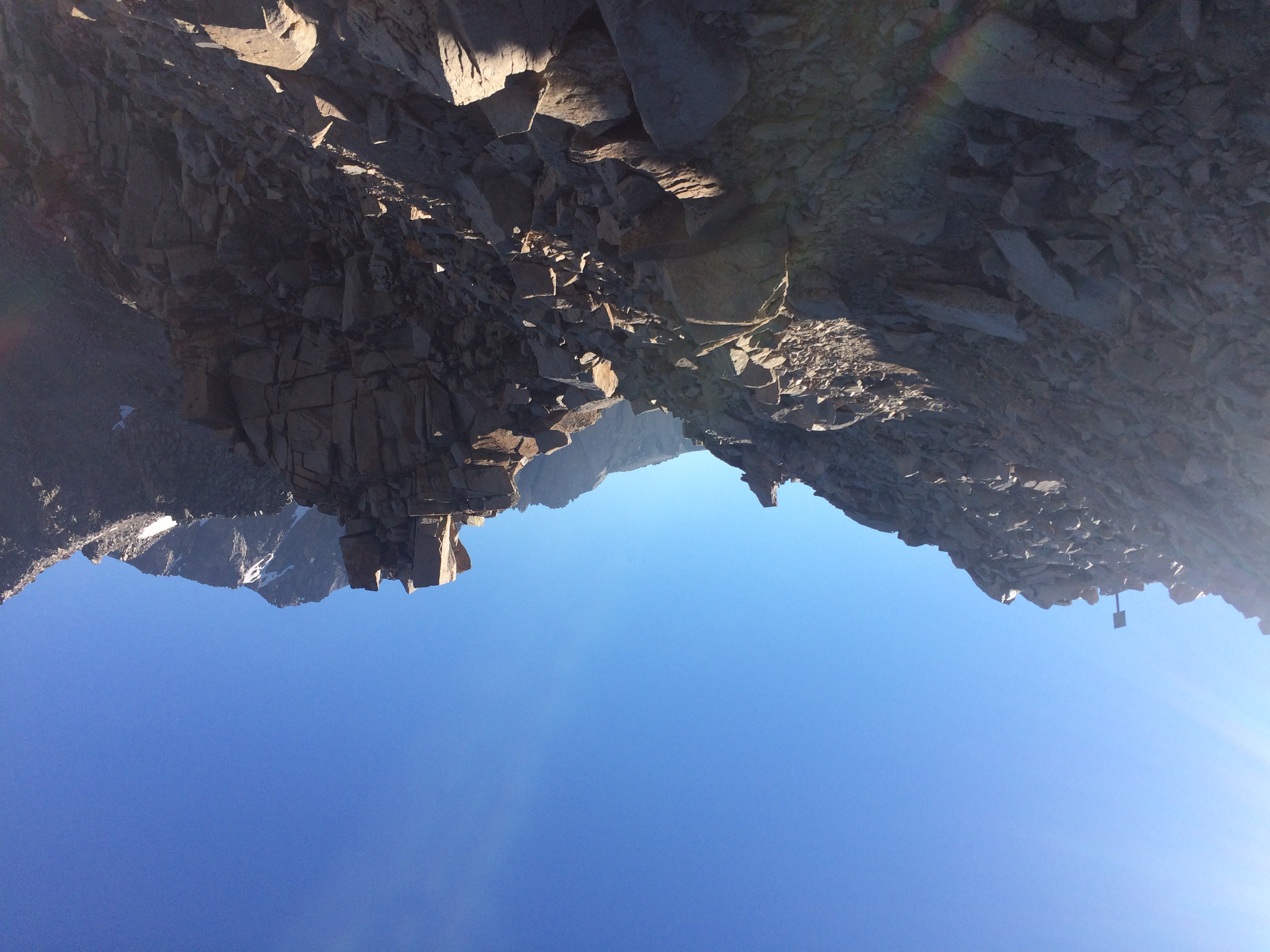
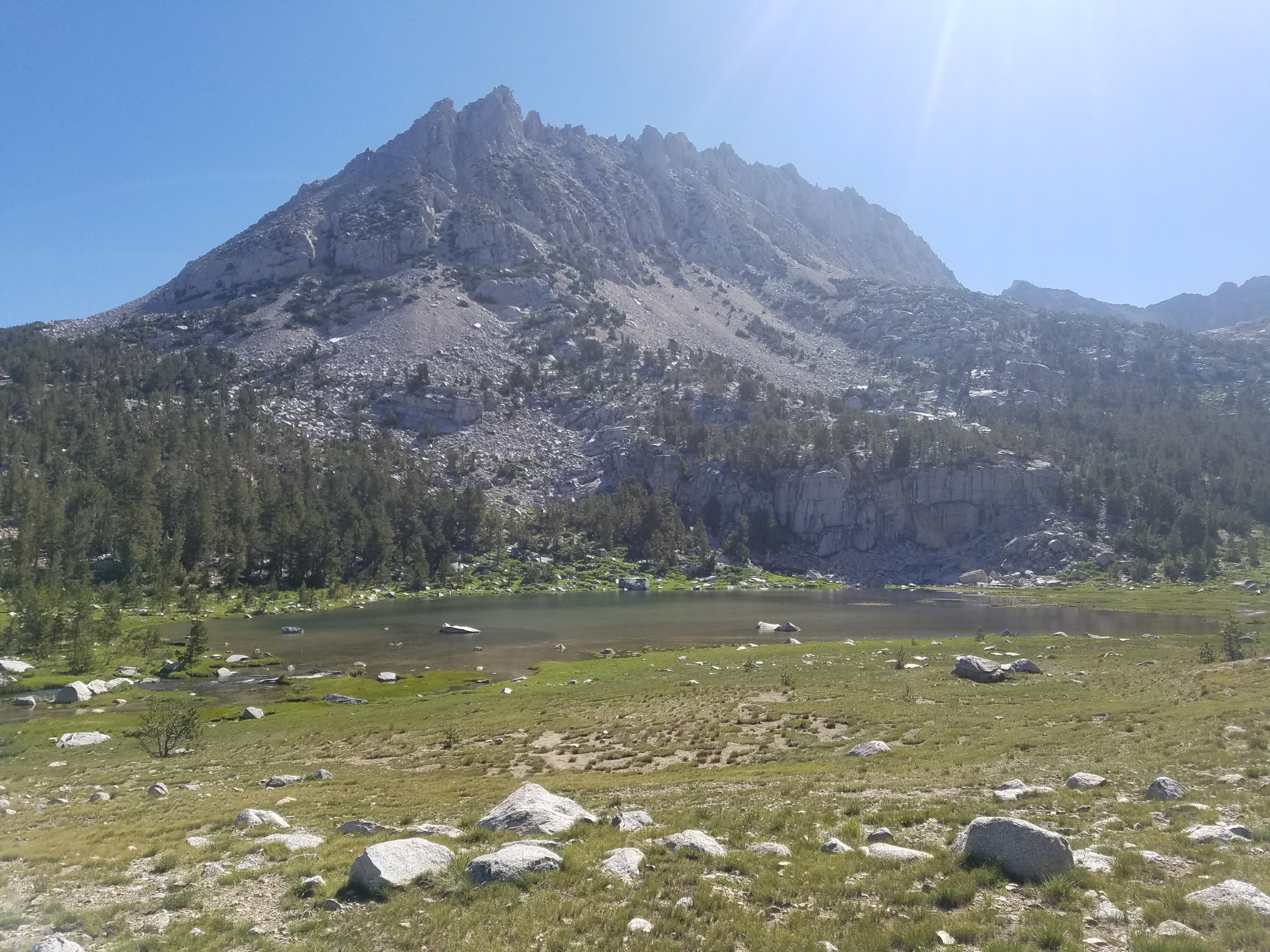
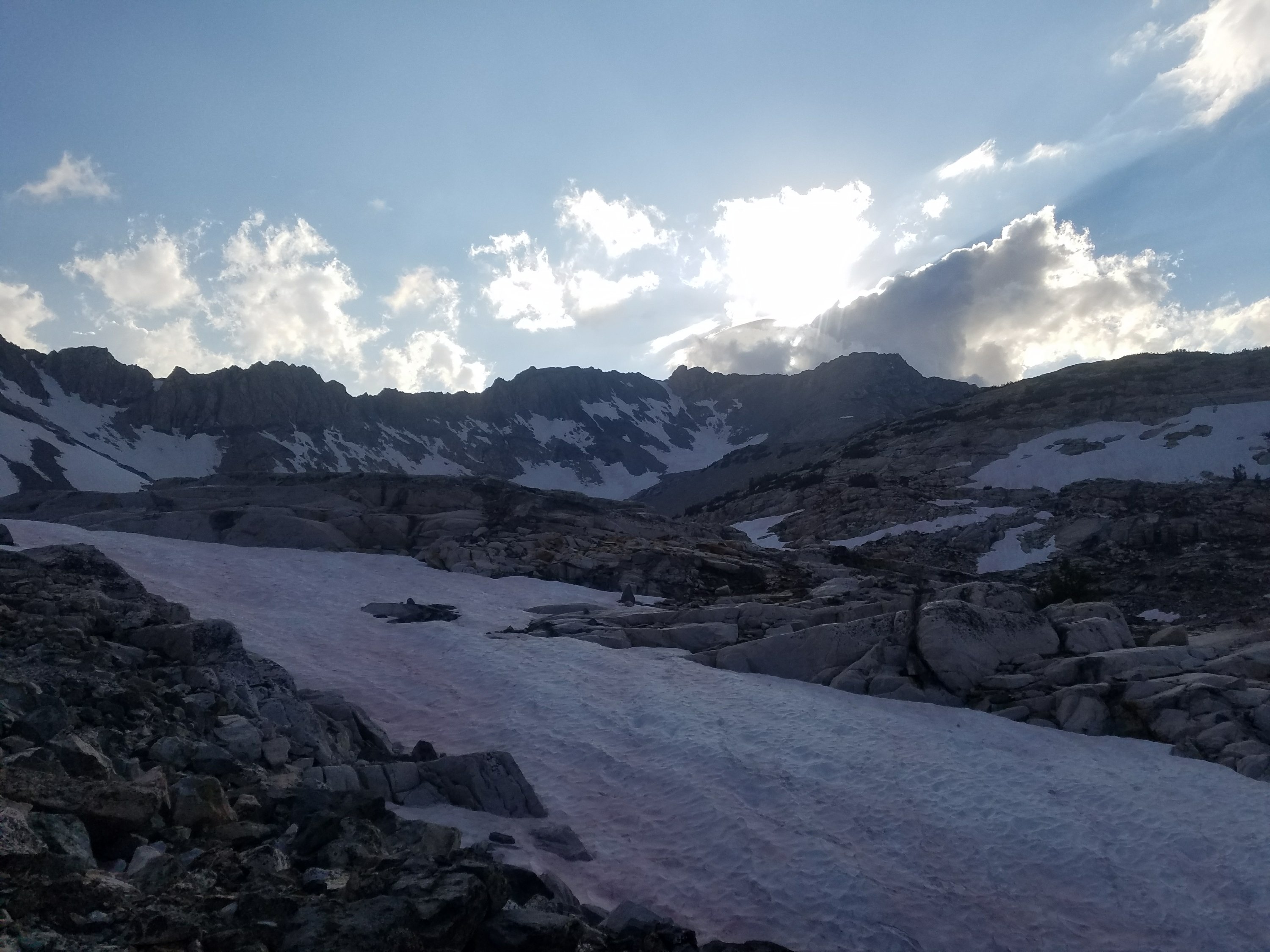
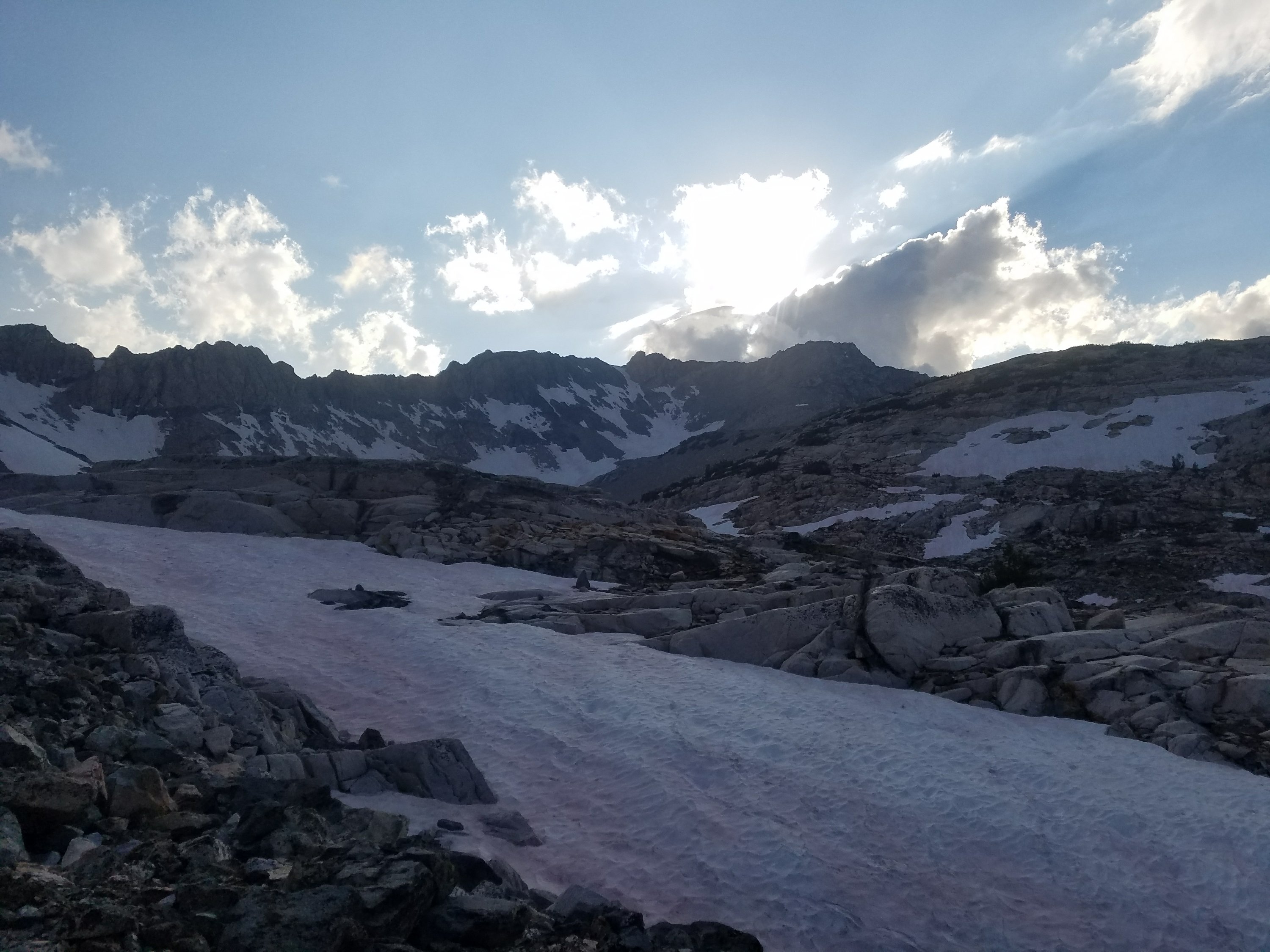
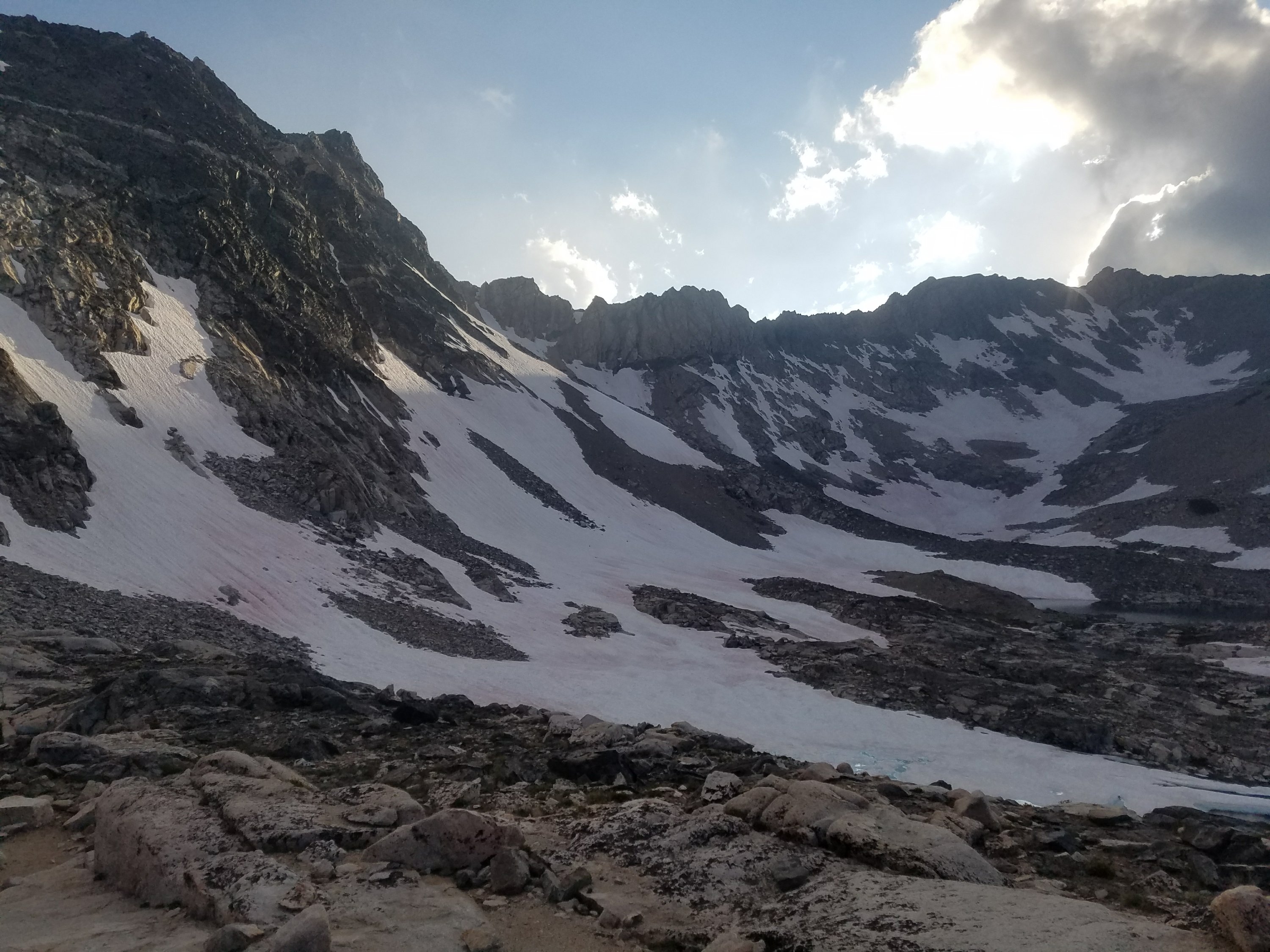
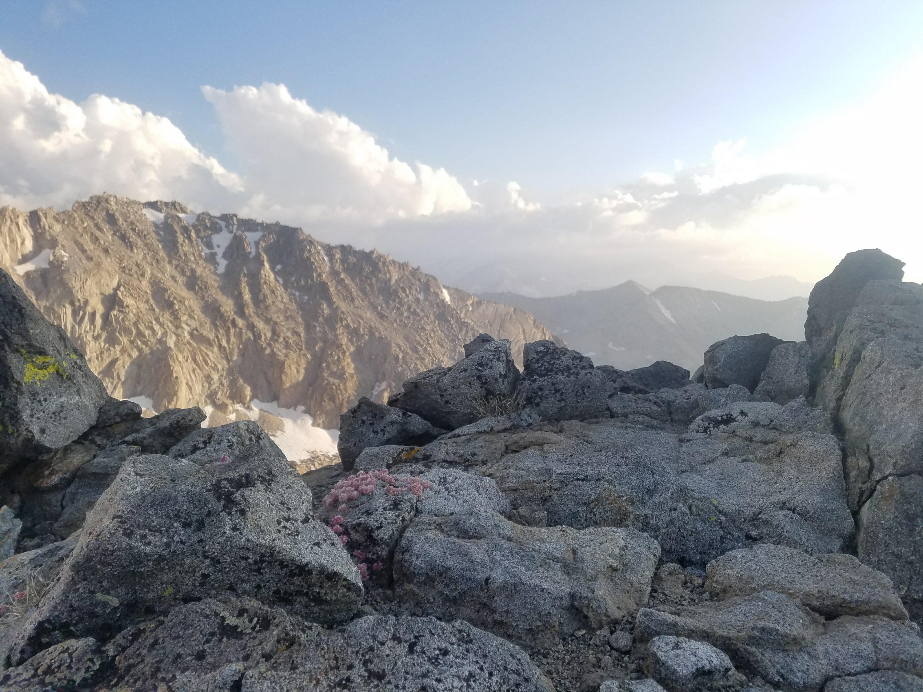
We went up steeply for a mile and then got a glance at the actual pass and it was steep! We could see a hiker on it and it looked like a near 90 degree pitch and partially snow covered. Very foreboding! It turned out to be pretty quick and not too sketchy and the top was very rewarding!

We were so excited to be over the pass and we were chatting on our way down about the possibility of running into Carly and hiking all the way to the junction. We decided to finish California today!

Within a mile of the junction we rounded the bend and I saw a girl with a pony tail sitting and I was thinking ohhh that’s Carly! I heard Sherpa cry out and then saw them hugging excitedly.

We sat down and joined Carly and her hiking friend Jim while we ate dinner. We chatted for an hour and it was great to hear Carly’s adventures and catch up.

We said our goodbyes and started off at dusk and soon it was dark. We were feeling such a high after seeing Carly and approaching the junction and our last steps in California.

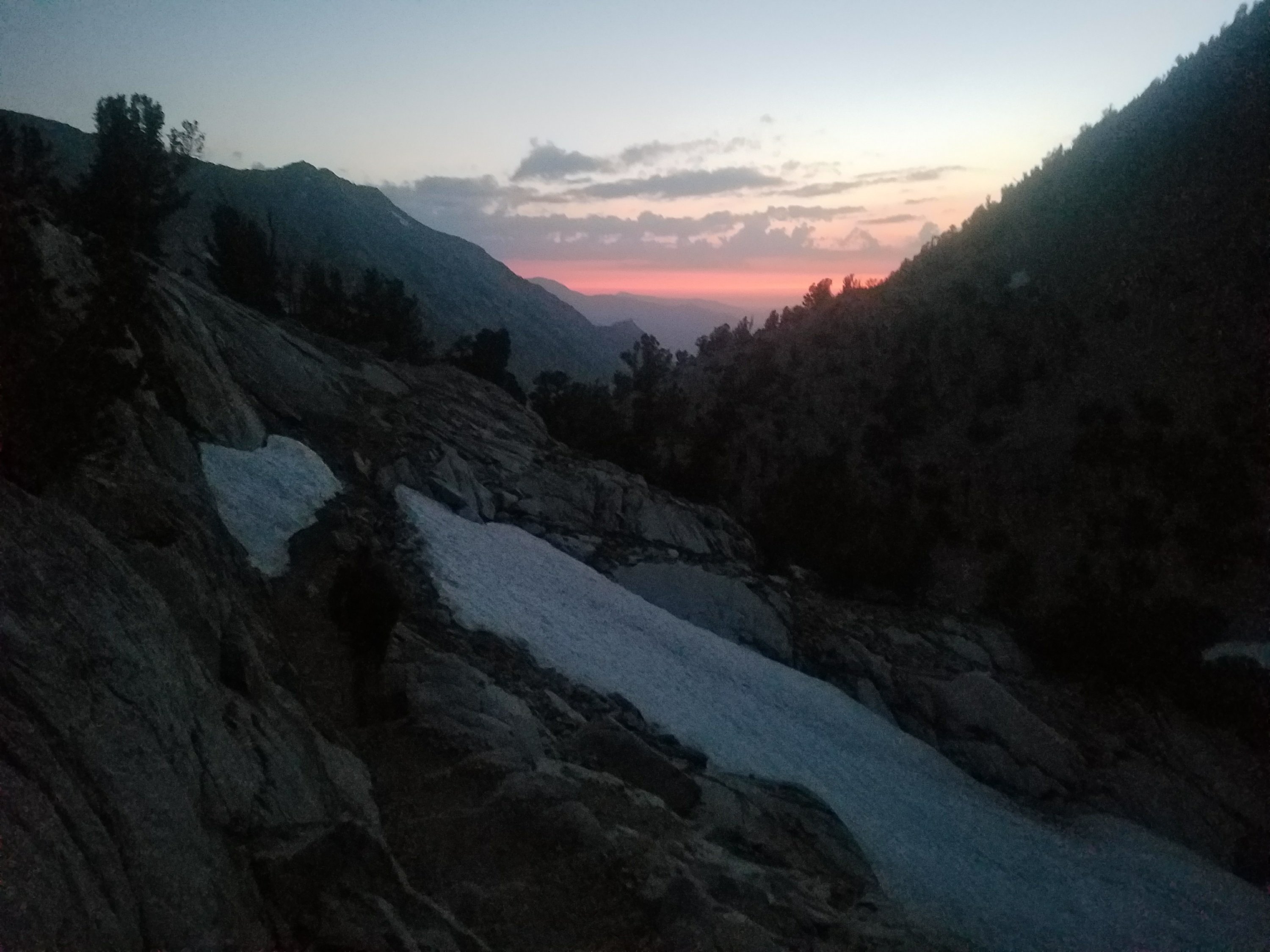
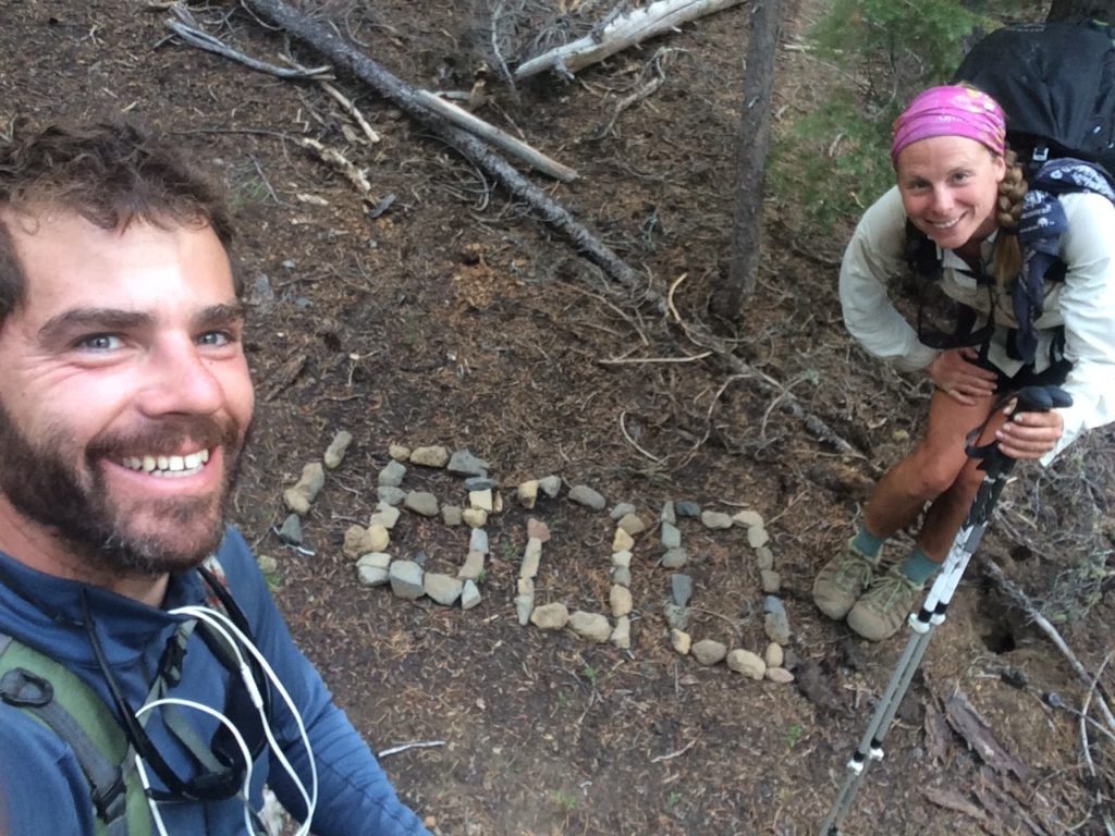
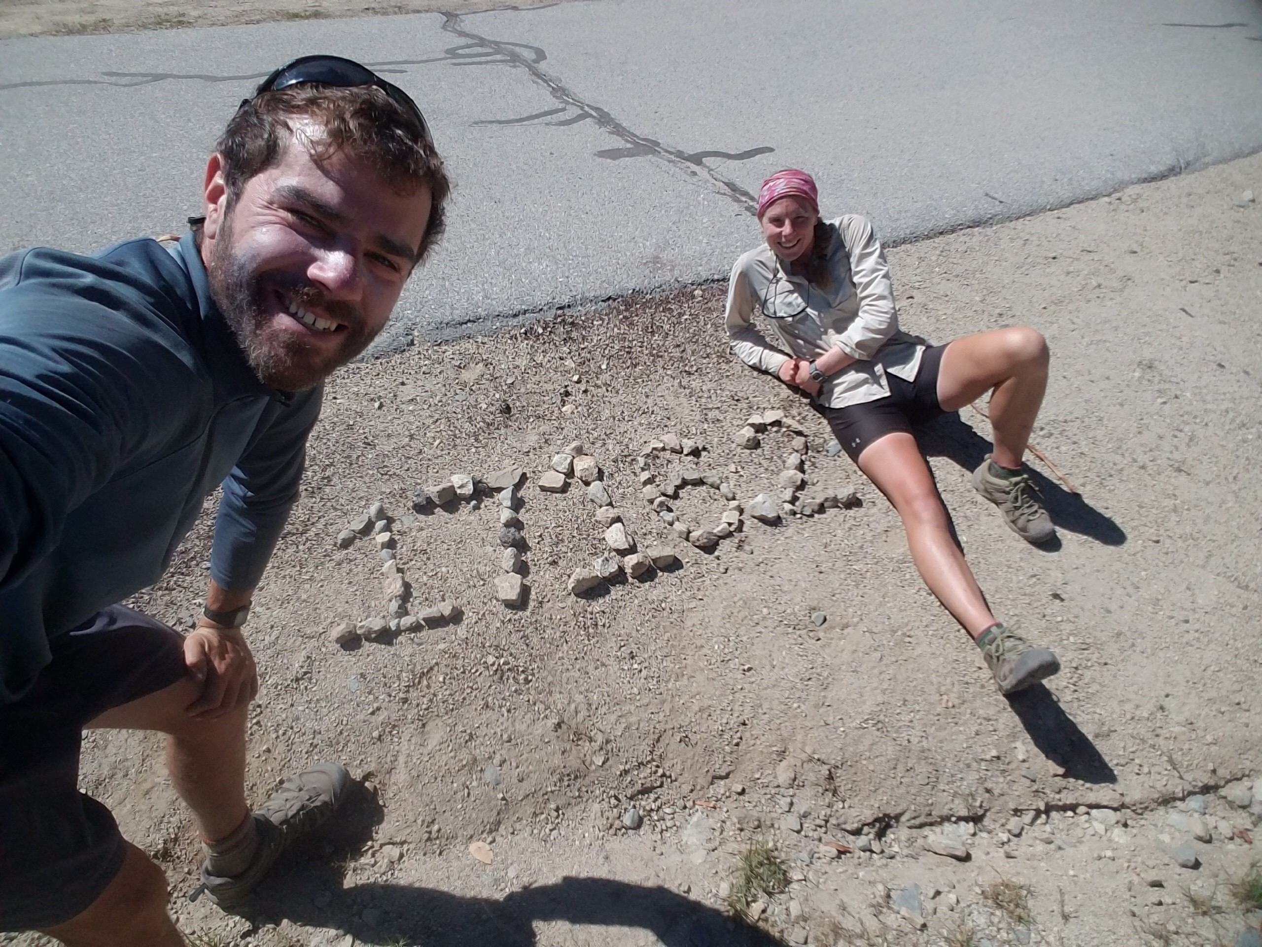
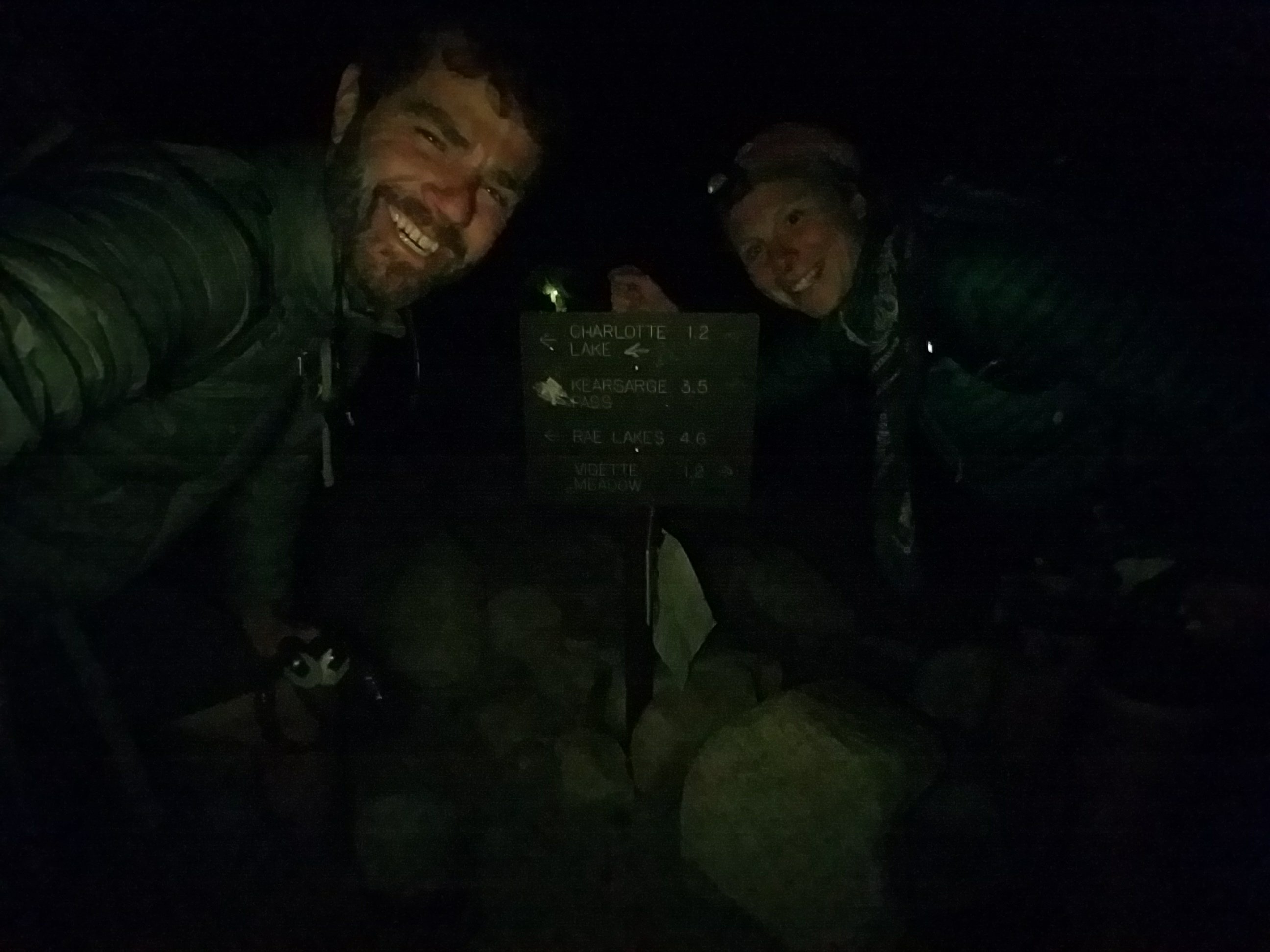
We found the junction and took a late night photo to close out our California adventure. It was so exciting and we had a difficult time setting up our tent in the dark quietly. There were lots of tents around us and I’m sure they were very mad at us.

Today was one of the hardest days on the trail but it was also the most rewarding. That is the nature of the trail. You can experience so many difficult moments and soon after be elated by some special experience. It is a dramatic and gratifying adventure that teaches you so much about your emotions, expectations, and priorities. I am very grateful to be experiencing all these on such a stunning training ground.

We got into our tent after many inefficient chores in the dark and quietly celebrated our achievement then drifted to sleep like little hiker babies.

8/7/17: Seasonal Stream Tentsite Mile 841.6 to Mile 815.5 Tentsite

Brrrr last night was cold and so was this morning! It was tough finding motivation to get out of our sleeping bags and it took us longer than usual to get walking this morning. We had a couple miles of climbing up to Muir Pass. There was an alpine lake that was still mostly frozen over and we walked over a largely snow covered trail as we ascended the pass. It felt very wintery! I was glad we only had a short ways to go because hiking was feeling tough at this altitude. At the top of the pass was Muir Hut, a stone building that offered shelter to hikers caught in bad weather. It was surprisingly clean inside and offered protection from the cold wind. Wolf Bird had spotted a couple hikers below us when we were ascending he pass and we suspected it might be Yote and 2.Toe so we hung out for a while waiting for them. Soon enough the two of them appeared! They also introduced us to Wes, a guy from Asheville hiking the JMT that they’d met. After a while a couple girls section hiking the PCT also showed up. We all hung out and chatted in the shelter for a bit and snapped some photos making for a long leisurely break. Eventually we bundled up and set off to descend the pass. It was mostly snow for a couple miles and then transitioned to dry trail and then hot trail as we got to lower elevations and the sun beat down on us. Wes’ hiking pole broke on the descent which was a bummer as he didn’t plan to go into a town for the remaining 80 or so miles of his JMT hike, so he didn’t have a way to fix or replace it. 


As soon as we got to the end of the downhill from Muir Pass we began climbing uphill again and would do so for about 11 miles until we reached the top of the next pass, Mather Pass. Wolf Bird and I took a lunch break about two miles into the uphill. Wes caught up to us and was excited to tell us that he had run into a guy who just so happened To be carrying an extra hiking pole and lent him parts from it to fix his broken pole! The trail provides. 


After lunch we had 9.5 miles to the top of Mather Pass. I mustered up my mental strength and did my best to walk a steady pace for the next 3-4 hours. The climb started gradually and then changed into switchbacks and a steeper climb after a while. I was feeling pretty good but started getting tired about 3 miles from the top of the pass. It was getting late in the day, around 6pm and I was feeling a time crunch as I wanted to get to the top of the pass while it was still early and light out.


Wolf Bird started walking with me and telling me about ideas he had for a book he wants to write. Listening to him helped distract me from my growing exhaustion. As we walked we passed many (mostly JMT) hikers with their tents set up already. One group asked if we had enough water to get over the pass and another group told us there weren’t any good campsites before the pass. It felt a little strange to be getting unsolicited advice and also their words made me feel worried about our plan for some reason even though we definitely had time to get over the pass before dark. As we neared the final two miles of the pass, a dark cloud appeared over the top of the pass. I got worried that it was about to thunderstorm, and was especially worried that we’d be on the highest elevation in the area in an open exposed section. I started walking as fast as I could to try to get up and over the pass quilt. That didn’t last long as soon I ran into snow. 
I waited for Wolf Bird and we navigated he snow together.  Well more like he went in front and I followed. There were a couple really scary and sketchy areas with steep snow and also loose rocks but we got through it just fine. The last switchbacks to the top of the pass took every ounce of eedfort we had. Luckily the dark clouds cleared and I felt less pressure to get over quickly. Finally we reached the top! We felt so accomplished… What a long climb! We later would decide this pass and Benson Pass were our two toughest passes, at least going southbound. 

The view from the top of the pass was beautiful and also startling. The other side of the pass revealed a starkly different terrain. It was much flatter and open on the other side. It looked like the moon! Everything was illuminated by the setting Suns rays and it was just beautiful and peaceful. 
We descended down the switchbacks on the other side of the pass quickly and had to also do some scrambling down loose rock and sand which ended up being fun. It was growing  late and darker out and we were aching to get to camp after such a long day. We finally reached the flat open terrain at the bottom of the hill and began looking for campsites. We ran into a group of young guys who were hiking the High Sierra Route and chatted with them briefly. Finally we found a place for our tent and set up quickly as it was growing cold. I cooked dinner and set up the tent while Wolf Bird got us water. It was one of our later nights, as we didn’t arrive at camp until almost 8 or so. As I was about to get in the tent for the night I heard a howling shout from up on the pass. This is the classic noise that Yote and 2.Toe do to us from far away! We were wondering if they’d make it over the pass tonight as we hadn’t seen them since noon or so. Guess they made it! Wolf Bird howled back at them and we snuggled in the tent until Yote and 2.Toe arrived about a half hour later. I was super impressed, as 2.Toe is coming down with a cold but still managed to do a huge 27+ mile day!! We chatted with them through the tent walls, as it was cold out already. We went to bed late after a long and tiring but rewarding and beautiful day.